The Clywedog Gorge Trail
How would you rate The Clywedog Gorge Trail?
Tap a star to share your experience and help other hikers.
The Clywedog Gorge Trail: Wrexham’s Industrial Valley Walk
HikeList Score
The Clywedog Gorge Trail scored 75/100 on HikeList's trail-quality metrics.
See score breakdownHide breakdown
- Ideal length 53
- Balanced challenge 90
- Scenery & wildness 88
- Varied terrain 100
- Accommodation 49
- Food & support 58
- Path quality 98
- Season flexibility 89
Computed from length, challenge, scenery & wildness, terrain variety, accommodation, food & support, path quality and season flexibility.
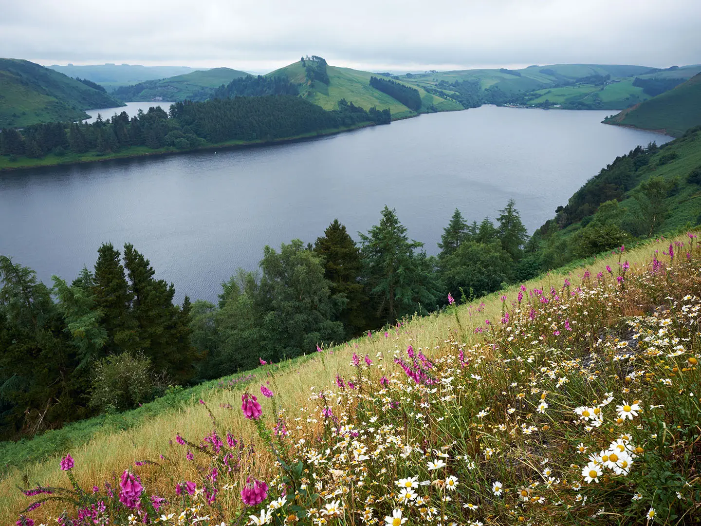
The Clywedog Gorge Trail is the waymarked Clywedog Trail, an 8.5 km / 5.3 mile linear walk just west and south of Wrexham in north-east Wales. It follows the wooded River Clywedog valley between Minera Country Park and King’s Mill, linking mills, mines, woodland and parkland. Allow half a day to a full day. Difficulty is easy to moderate: mostly low-level riverside paths, with stiles and muddy sections after rain. It suits walkers wanting a short heritage-rich day hike rather than a multi-day trail.
Route Overview
Walk it in either direction, though Minera to King’s Mill is broadly downhill-ish. The route starts at Minera Lead Mines / Minera Country Park near Coedpoeth, then follows the Afon Clywedog through Nant Mill, Plas Power Woods, Plas Power, Bersham Ironworks, Bersham, Erddig and Erddig Country Park before finishing at King’s Mill, south-east of Wrexham town centre. It is point-to-point, not a loop, so plan a lift, taxi or two-car shuttle; shorter circular walks branch from the trail. For other Welsh day walks, compare the waterfall-focused Aber Falls Walk, or step up to longer routes such as the Anglesey Coastal Path and Beacons Way.
Industrial history along the River Clywedog
The trail passes through one of the cradles of the Industrial Revolution. Lead is believed to have been mined at Minera from Roman times, later becoming one of Britain’s busiest lead-mining centres. Ironmaking in the Clywedog valley dates from the 17th century, and at Bersham John “Iron-Mad” Wilkinson developed pioneering ironworks in the 1700s. In Plas Power Woods you can trace an old limestone waggon way and see a surviving section of Offa’s Dyke, the 8th-century earthwork built by King Offa of Mercia.
Notable highlights
- Minera Lead Mines (restored mining site): A restored 19th-century lead-mining site with a landmark engine house and winding gear. It gives the walk a strong industrial start on the Coedpoeth side of the valley.
- Nant Mill (former corn mill and visitor centre): A riverside stop beside the Clywedog, with nature trails and a sensory garden among the trees. It is a useful place to break up the walk.
- Plas Power Woods and Offa’s Dyke (woodland and earthwork): Quiet ancient woodland containing a preserved section of Offa’s Dyke. The woods also hold the line of an 18th-century tramway used to carry limestone to Bersham.
- Bersham Ironworks (early heavy industry): The ironworks are associated with John “Iron-Mad” Wilkinson, who cast cannon and bored cylinders here in the 1700s. Bersham Heritage Centre is nearby.
- Erddig (National Trust estate): An 18th-century hall with walled gardens and parkland on the river’s edge. It is known for its unusually full record of the servants who ran the house.
- King’s Mill (water-mill trailhead): A working water-mill dating from around 1770, with a restored water wheel and displays on milling history. It marks the south-eastern end of the trail.
Challenges to expect
Expect a straightforward low-level walk rather than a mountain route. The main difficulties are muddy riverside and woodland sections after rain, field stiles, and short stretches of track and minor lane. Navigation is helped by waymarking, but the linear layout means you need a return plan from King’s Mill or Minera. Sturdy footwear is sensible, especially in winter or after heavy rain.
HikeList Score
The Clywedog Gorge Trail scored 75/100 on HikeList's trail-quality metrics.
See score breakdownHide breakdown
- Ideal length 53
- Balanced challenge 90
- Scenery & wildness 88
- Varied terrain 100
- Accommodation 49
- Food & support 58
- Path quality 98
- Season flexibility 89
Computed from length, challenge, scenery & wildness, terrain variety, accommodation, food & support, path quality and season flexibility.
 United Kingdom
 Wales
WalesShow more data Show less
- Riverside
- Forest
- Parkland
- Valley
- Dirt
- Track
- Minor Lanes
- Mud
- Off Trail Accommodation
- Family Friendly
- Pet Friendly
- Water Sources
- Picnic Areas
Photos from hikers
Taken on the trail by people who've reviewed The Clywedog Gorge Trail.
Reviews
How would you rate The Clywedog Gorge Trail?
Tap a star to start your review — you could be the first.