Norge på langs (Norway End-to-End)
How would you rate Norge på langs (Norway End-to-End)?
Tap a star to share your experience and help other hikers.
Norge på langs: Norway End-to-End Hiking Guide
HikeList Score
Norge på langs (Norway End-to-End) scored 72/100 on HikeList's trail-quality metrics.
See score breakdownHide breakdown
- Ideal length 52
- Balanced challenge 48
- Scenery & wildness 87
- Varied terrain 100
- Accommodation 84
- Food & support 65
- Path quality 87
- Season flexibility 76
Computed from length, challenge, scenery & wildness, terrain variety, accommodation, food & support, path quality and season flexibility.
Norge på langs is the self-powered end-to-end crossing of Norway, usually from Lindesnes Lighthouse to Nordkapp. It is not an official waymarked trail: hikers build their own line using DNT routes, the E1, valley tracks and open mountain. The listed estimate is 2,600 km, with a continuous hike taking at least about 100 days. This is an expert undertaking for self-sufficient hikers who can navigate unmarked terrain, manage river crossings, camp for long stretches and handle Arctic weather.
Route Overview
The classic route is point-to-point between Lindesnes Lighthouse, Norway’s southernmost mainland point, and Nordkapp in the Arctic north; some finish at Knivskjellodden, which lies slightly farther north. Both directions are walked, but Lindesnes-to-Nordkapp is more popular because it follows the retreating snowmelt north. Typical lines cross Hardangervidda, Skarveheimen, Hallingskarvet, Jotunheimen, Rondane, Dovrefjell, Trollheimen, the Røros/Femundsmarka area, Trøndelag, Nordland, Troms and Finnmark. For planning shorter sections, compare the Hardangervidda Traverse, Galdhøpiggen Summit Trail and Dovrefjell-Sunndalsfjella Trail. Budget for transport to and from the trailheads, plus resupply and cabin costs.
History of Norge på langs
The name Norge på langs dates to a 1951 scouting relay along the length of Norway. Bjørn Amsrud is generally credited as the first person to complete a continuous solo crossing, in 1966. Adventurer and TV presenter Lars Monsen walked it in 1989 and later wrote a book of the same name, helping popularise the challenge. A private register at norgepaalangs.info has recorded more than 430 completers, and the count continues to rise.
Notable highlights
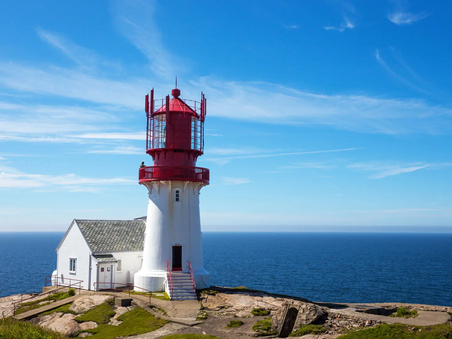
- Lindesnes Lighthouse: The southern start point on the Skagerrak coast. It is Norway’s oldest lighthouse site and marks the beginning of the classic northbound journey.
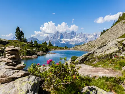
- Hardangervidda: Northern Europe’s largest mountain plateau. It is a major early obstacle on many southern routes, with open tundra, exposure and wild reindeer country.
- Jotunheimen: The “Home of the Giants” national park. Routes through this area pass near Norway’s highest mountains, including Galdhøpiggen, without necessarily summiting them.
- Dovrefjell and Rondane: Central Norway high-country national parks commonly used as waypoints. Dovrefjell is known for musk oxen, while Rondane has rounded 2,000 m peaks.
- DNT cabin network: The Norwegian Trekking Association’s staffed and self-service mountain cabins help break up long wilderness sections and can reduce food carries.
- Nordkapp: The symbolic Arctic finish at the North Cape, a 307 m cliff above the Barents Sea and long regarded as mainland Europe’s northern extremity.
Challenges to expect
Expect months of commitment: unmarked mountain and plateau travel, snowfields, bogs, river fords, forest, exposed road links and remote Arctic terrain. Navigation is often by map and compass or GPS rather than signs. Early summer can mean high rivers and mosquitoes; autumn brings snow risk. Resupply is via valley towns, DNT cabins, lodges and farms, with long unsupported stretches between them.
HikeList Score
Norge på langs (Norway End-to-End) scored 72/100 on HikeList's trail-quality metrics.
See score breakdownHide breakdown
- Ideal length 52
- Balanced challenge 48
- Scenery & wildness 87
- Varied terrain 100
- Accommodation 84
- Food & support 65
- Path quality 87
- Season flexibility 76
Computed from length, challenge, scenery & wildness, terrain variety, accommodation, food & support, path quality and season flexibility.
 Norway
Show more data Show less
- Mountainous
- Plateau
- Valley
- Bog
- Forest
- Arctic
- Coastal
- Rocky
- Snow
- Boggy
- Dirt
- Paved
- Huts
- Lodges
- Farms
- Wild Camping Spots
- Pet Friendly
- Water Sources
- Campsites
- Shelters
In these collections
Photos from hikers
Taken on the trail by people who've reviewed Norge på langs (Norway End-to-End).
Reviews
How would you rate Norge på langs (Norway End-to-End)?
Tap a star to start your review — you could be the first.