Tokai Nature Trail
How would you rate Tokai Nature Trail?
Tap a star to share your experience and help other hikers.
Tokai Nature Trail: Japan’s First Long-Distance Nature Trail
HikeList Score
Tokai Nature Trail scored 81/100 on HikeList's trail-quality metrics.
See score breakdownHide breakdown
- Ideal length 52
- Balanced challenge 84
- Scenery & wildness 78
- Varied terrain 100
- Accommodation 100
- Food & support 88
- Path quality 84
- Season flexibility 76
Computed from length, challenge, scenery & wildness, terrain variety, accommodation, food & support, path quality and season flexibility.
The Tokai Nature Trail is Japan’s first long-distance nature trail: a waymarked route across central Honshu linking the Tokyo and Osaka areas. The official signed network is 1,697.2 km, typically taking 40–50 days, and is hard as a full thru-hike because of its duration, cumulative ascent and steep mountain sections. It suits experienced long-distance hikers who are comfortable mixing forest paths, rural roads, rough camping and variable waymarking. See more long walks in Japan.
Route Overview
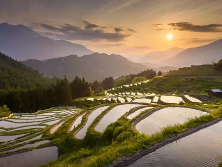
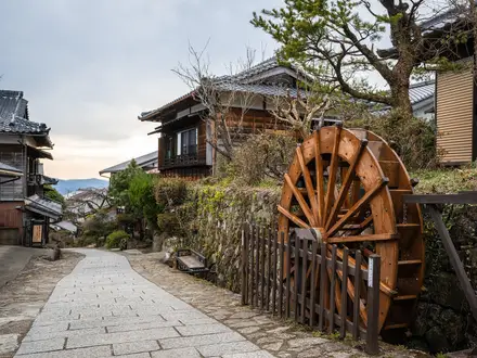
The route is a point-to-point trail from Meiji no Mori Takao Quasi-National Park in Hachioji, western Tokyo, to Meiji no Mori Minoh Quasi-National Park in Minoh, Osaka Prefecture. It crosses 11 prefectures in order: Tokyo, Kanagawa, Yamanashi, Shizuoka, Aichi, Gifu, Mie, Shiga, Kyoto, Nara and Osaka, spanning Kanto, Chubu and Kansai. Key sections include Mount Takao, the Tanzawa range, the Mount Fuji and Fuji Five Lakes area, Yoro Falls, the Suzuka Mountains, Lake Biwa, Mount Hiei and Enryaku-ji, then Minoh Falls. This is not a continuous wilderness path: roughly half is quiet forest, farm and rural road, with the rest mountain footpath.
History of the Tokai Nature Trail
The Tokai Nature Trail was proposed in 1969 by the then Minister of Health and Welfare. Construction began in 1970 with local governments and the trail was completed in July 1974 as Japan’s first long-distance nature trail. It was conceived as a modern equivalent of the Edo-period Tokaido highway: a route people could walk year-round while also protecting natural areas. Its success led to eight further regional nature trails across Japan.
Notable highlights
- Mount Takao (599 m): The eastern trailhead lies in Meiji no Mori Takao Quasi-National Park, around a popular sacred mountain crowned by Takaosan Yakuo-in temple.
- Mount Fuji and the Fuji Five Lakes: The route skirts the base area around Yamanashi and Shizuoka, giving views of Mount Fuji rather than climbing it.
- Yoro Valley and Yoro Falls: In Gifu, the trail passes Yoro Park’s roughly 30 m waterfall, set among gorges and rock formations that are especially valued in autumn.
- Suzuka Mountains: On the Mie/Shiga border, this is one of the steeper and wilder mountain stretches before the terrain eases into Shiga.
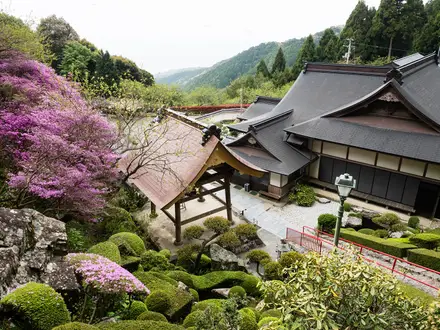
- Lake Biwa and Mount Hiei: The trail gives long views over Lake Biwa and reaches Mount Hiei with the World Heritage Enryaku-ji temple complex above Kyoto.
- Minoh Falls: The western terminus is near the 33 m waterfall in Meiji no Mori Minoh Quasi-National Park, known for autumn maples.
Challenges to expect
Expect a long cumulative effort rather than extreme altitude: the high point is Mt Himetsugu, 1,433 m, but total ascent is about 38,000 m. The toughest named section is Kanagawa’s Tanzawa range, with steep and unstable mountain terrain. Waymarking varies by prefecture, so carry GPS/maps. Spring and autumn are best; summer brings heat, heavy rain and typhoons. For shorter Japanese routes, compare the Kumano Kodo Nakahechi Route, Kumano Kodo Iseji Route or the Michinoku Coastal Trail.
HikeList Score
Tokai Nature Trail scored 81/100 on HikeList's trail-quality metrics.
See score breakdownHide breakdown
- Ideal length 52
- Balanced challenge 84
- Scenery & wildness 78
- Varied terrain 100
- Accommodation 100
- Food & support 88
- Path quality 84
- Season flexibility 76
Computed from length, challenge, scenery & wildness, terrain variety, accommodation, food & support, path quality and season flexibility.
Show more data Show less
- Mountainous
- Forest
- Rural
- Farmland
- Dirt
- Rocky
- Gravel
- Paved
- Wild Camping Spots
- Huts
- Hotels
- Hostels
- Lodges
- Restrooms
- Water Sources
- Campsites
- Shelters
- Picnic Areas
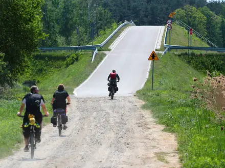
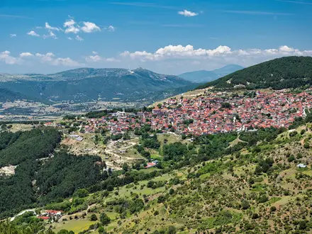
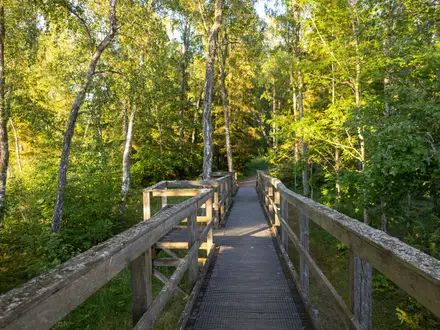
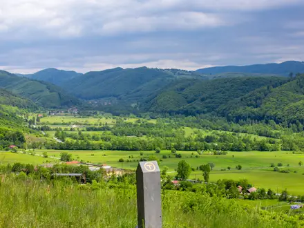
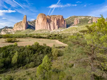
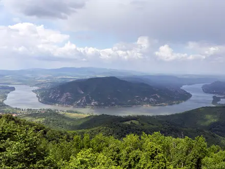
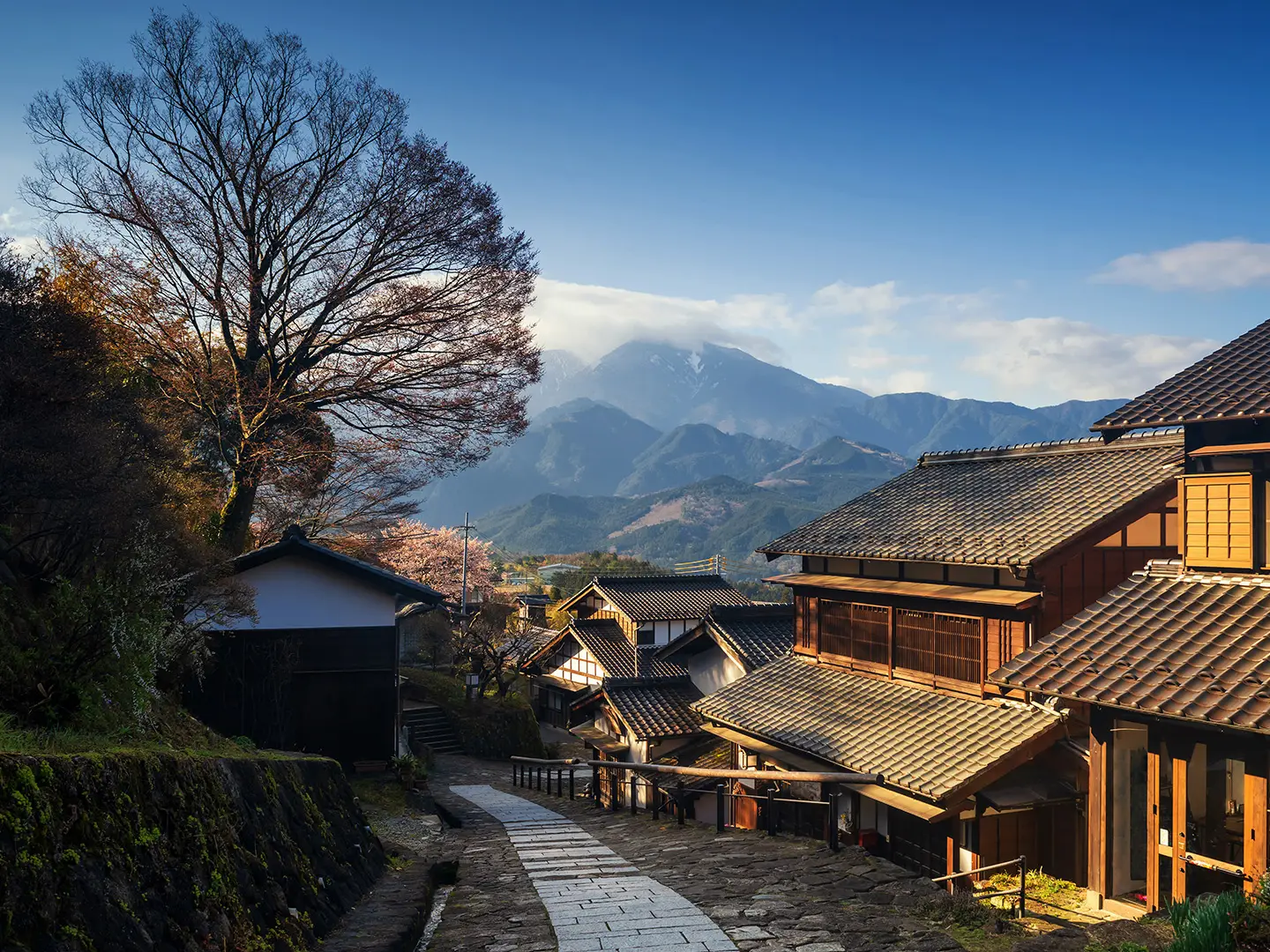
Photos from hikers
Taken on the trail by people who've reviewed Tokai Nature Trail.
Reviews
How would you rate Tokai Nature Trail?
Tap a star to start your review — you could be the first.