Nordkalottruta (Arctic Trail)
How would you rate Nordkalottruta (Arctic Trail)?
Tap a star to share your experience and help other hikers.
Nordkalottruta (Arctic Trail): Arctic Border Thru-Hike
HikeList Score
Nordkalottruta (Arctic Trail) scored 68/100 on HikeList's trail-quality metrics.
See score breakdownHide breakdown
- Ideal length 52
- Balanced challenge 44
- Scenery & wildness 85
- Varied terrain 100
- Accommodation 58
- Food & support 65
- Path quality 98
- Season flexibility 76
Computed from length, challenge, scenery & wildness, terrain variety, accommodation, food & support, path quality and season flexibility.
Nordkalottruta, also called Nordkalottleden, Kalottireitti or the Arctic Trail, is an 800 km signposted point-to-point route through Arctic Norway, Sweden and Finland. It runs high above the Arctic Circle, broadly along the countries’ shared border, and takes about 40 days for a full thru-hike. Roughly 700 km are actually walked on the main Kautokeino–Sulitjelma line, with a longer alternative to Kvikkjokk. This is an expert wilderness route for hikers with strong navigation, river-crossing and self-sufficiency skills. See more Norway hiking routes.
Route Overview
The northern terminus is Kautokeino in Finnmark, Northern Norway; the standard southern terminus is Sulitjelma in Nordland, with a popular alternative finish at Kvikkjokk after the split near Stáddajåhkå. North to south, key places include Reisavannhytta, Nedrefosshytta, Saraelv in Reisa National Park, Kilpisjärvi, Treriksröset, Rostahytta, Abisko, Sitashytta, Vaisaluokta and Stáloluokta in Padjelanta. Road-access and resupply points are limited, with Kilpisjärvi, Abisko and Ritsem especially important; Abisko has rail access and Ritsem has a coach to Gällivare. The route is often planned as four long legs: Kautokeino–Kilpisjärvi, Kilpisjärvi–Abisko, Abisko–Vaisaluokta and Vaisaluokta–Kvikkjokk.
History of the Arctic Trail
The Arctic Trail was planned from the late 1970s and opened in 1993 through cooperation between the trekking associations of Norway, Sweden and Finland. It linked several existing shorter routes into one continuous cross-border wilderness trail and now forms the northern part of the E1 European long-distance path, which runs from Sicily to the North Cape. The corridor itself is much older than the modern waymarks, following Sámi reindeer-migration, fishing and hunting routes through the northern fells.
Notable highlights
- Treriksröset (Three-Country Cairn): The meeting point of Norway, Sweden and Finland in the water of Koltajärvi. It is a symbolic centrepiece of the route and the only place in Norway where you can walk freely between the three countries.
- Reisa National Park and Mollisfossen: The northern section follows the Reisa river canyon. Mollisfossen is Northern Norway’s tallest waterfall, dropping 269 m into the valley.
- Abisko National Park and Lapporten: Abisko is a major hiking hub on the Kungsleden. Lapporten, the U-shaped glacial valley known as “the Lapland Gate”, is one of the route’s most recognisable landforms.
- Padjelanta National Park: Sweden’s largest national park and part of the Laponia UNESCO World Heritage Site. The trail crosses a high plateau of lakes and gentle fells, with Sámi settlements including Stáloluokta and Árasluokta.
- Halti optional side trip: Finland’s highest fell, about 1,324 m, is reached by a short detour from the Finnish section. It is the highest ground accessible from the trail.
- Sámi culture and Arctic solitude: The trail passes active reindeer-herding country and settlements such as Vaisaluokta and Stáloluokta, where local food such as smoked fish and gáhkku may be available.
Challenges to expect
Expect a remote, boggy, often pathless-feeling Arctic mountain route with dirt, rock, marsh and lingering snow. Many smaller rivers are forded, and high water can make crossings hazardous; some summer bridges are removed off-season. Resupply is sparse, mobile coverage can be poor and daily legs may run 7–10 hours. For shorter Norwegian mountain options, compare the Hardangervidda Traverse, Dovrefjell-Sunndalsfjella Trail or Dronningruta.
HikeList Score
Nordkalottruta (Arctic Trail) scored 68/100 on HikeList's trail-quality metrics.
See score breakdownHide breakdown
- Ideal length 52
- Balanced challenge 44
- Scenery & wildness 85
- Varied terrain 100
- Accommodation 58
- Food & support 65
- Path quality 98
- Season flexibility 76
Computed from length, challenge, scenery & wildness, terrain variety, accommodation, food & support, path quality and season flexibility.
Show more data Show less
- Mountainous
- Tundra
- Plateau
- Valley
- Bog
- Forest
- Dirt
- Rocky
- Boggy
- Snow
- Huts
- Wild Camping Spots
- Pet Friendly
- Water Sources
- Campsites
- Shelters
In these collections
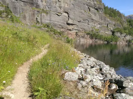
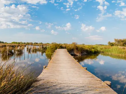
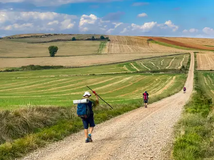
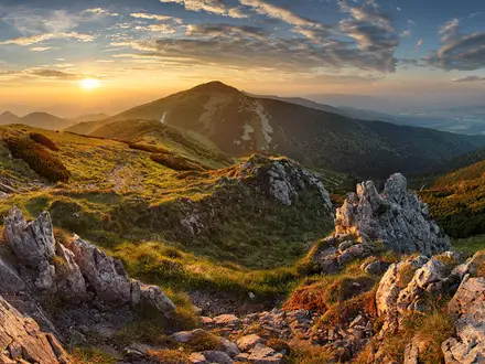
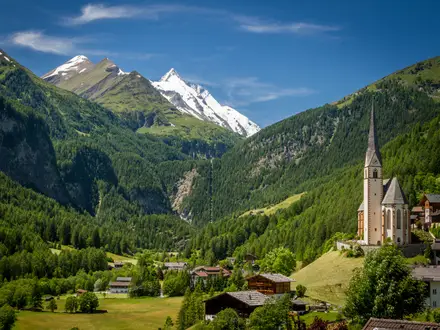
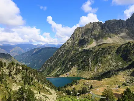
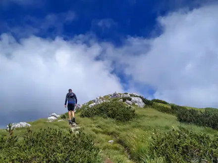
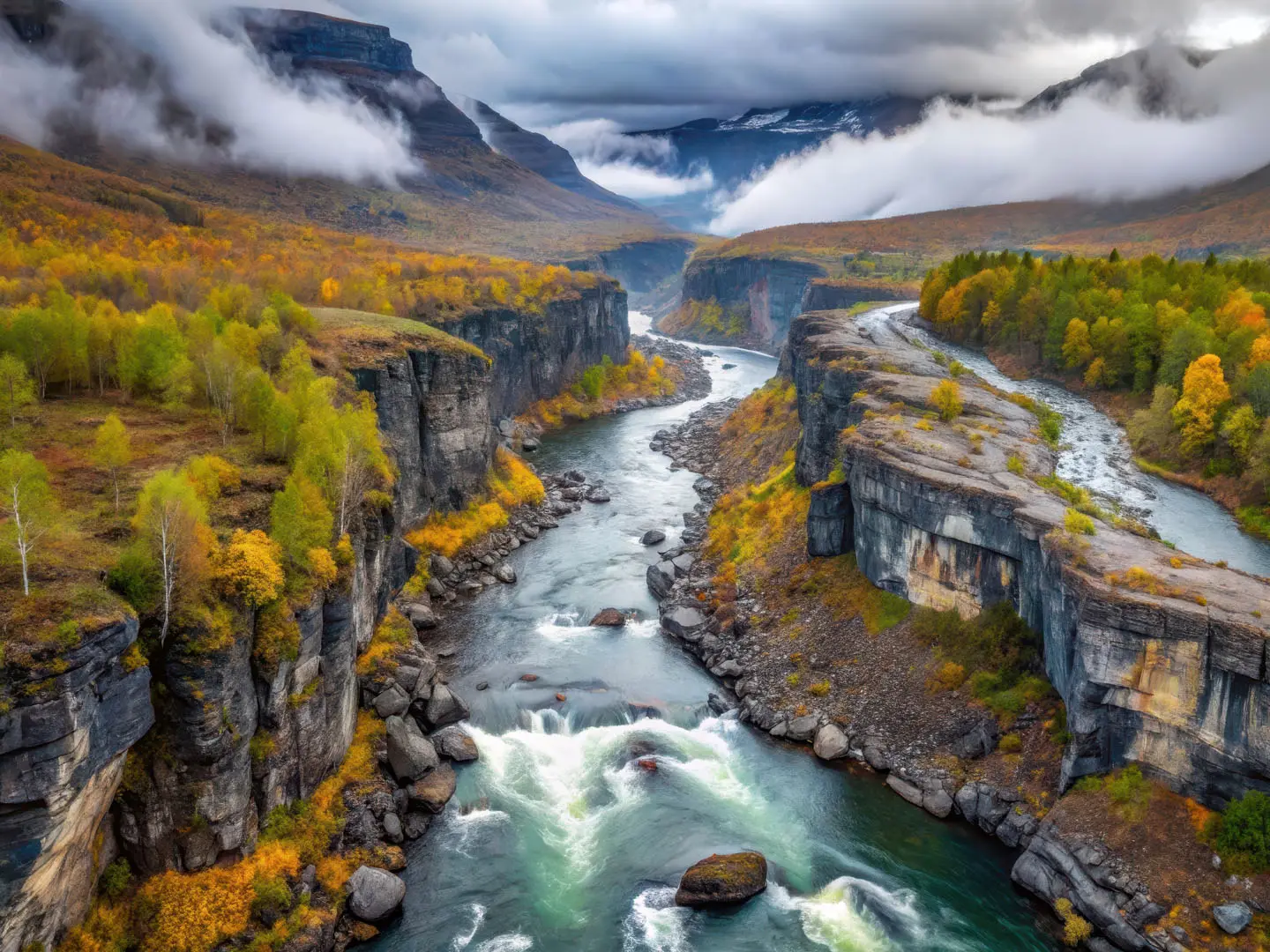
Photos from hikers
Taken on the trail by people who've reviewed Nordkalottruta (Arctic Trail).
Reviews
How would you rate Nordkalottruta (Arctic Trail)?
Tap a star to start your review — you could be the first.