E4 European Long-Distance Trail (Greek Section)
How would you rate E4 European Long-Distance Trail (Greek Section)?
Tap a star to share your experience and help other hikers.
E4 European Long-Distance Trail (Greek Section): Mainland Greece Thru-Hike
HikeList Score
E4 European Long-Distance Trail (Greek Section) scored 76/100 on HikeList's trail-quality metrics.
See score breakdownHide breakdown
- Ideal length 52
- Balanced challenge 48
- Scenery & wildness 98
- Varied terrain 71
- Accommodation 92
- Food & support 81
- Path quality 98
- Season flexibility 89
Computed from length, challenge, scenery & wildness, terrain variety, accommodation, food & support, path quality and season flexibility.
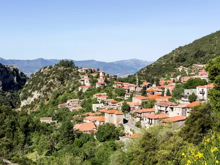
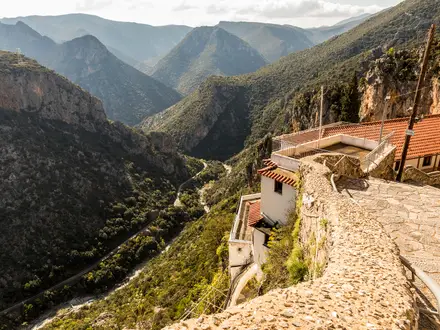
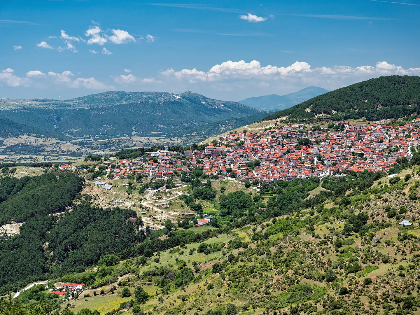
The E4 European Long-Distance Trail’s Greek mainland section is a roughly 1,500 km, 55-day point-to-point thru-hike across Greece, from Promachonas on the Bulgarian border to Gythio in the southern Peloponnese. This is an expert mountain route for experienced long-distance walkers: expect the Pindus, Mount Olympus, Agrafa, Delphi, Taygetos, remote villages, refuges and inconsistent waymarking. This page covers the mainland only; the continuation by ferry is covered separately as the E4 Trail (Crete Section).
Route Overview
The mainland E4 is generally walked north to south. It starts at Promachonas/Kulata on the Bulgarian border, heads west across Macedonia towards Lake Doirani, Pella, Florina/Niki, Nymfaio and Amyntaio, then turns south through Mount Olympus, Meteora, the Agrafa mountains, Karpenisi, Artotina, Delphi and Itea. The Peloponnese section begins at Diakofto and continues via Kalavryta, Vytina, Tripoli, Sparti, Mystras and the Taygetos refuge before finishing at the port of Gythio. From Gythio a ferry links the E4 onward to Crete. If you are comparing Greek E-paths, see the E6 European Long-Distance Trail Greek section.
History of the E4 in Greece
The E4 is part of the European long-distance path network developed under the European Ramblers’ Association from the 1970s onward. The Greek mainland section was designed and waymarked by the Greek Mountaineering and Climbing Federation (EOOA/SEO), linking mountain regions with places central to Greek history and myth: Olympus, Delphi, Byzantine Mystras and ancient Sparta. Much of the route follows old mule paths and shepherds’ tracks, and the Greek mainland route was re-surveyed and re-certified in the 2010s.
Notable highlights
- Mount Olympus: Greece’s highest massif and the mythical home of the gods. The E4 climbs from Litochoro through the Enipeas gorge to the Spilios Agapitos refuge and on towards Skolio, the trail’s 2,911 m high point.
- Meteora: A UNESCO-listed landscape of sandstone pinnacles near Kalambaka, topped by historic Orthodox monasteries. It is one of the most distinctive cultural sections of the route through Thessaly.
- Pindus and Agrafa mountains: Remote, forested central-Greek mountains with some of the route’s wildest and most isolated walking. For a shorter route in the same area, see the Agrafa Mountains Circuit.
- Delphi: The ancient sanctuary of Apollo on the slopes of Mount Parnassus, regarded by ancient Greeks as the world’s omphalos, or navel. The E4 passes through before descending towards Itea; nearby shorter walking is covered in the Delphi to Chrisso Trail.
- Mystras and Taygetos: Mystras is a UNESCO-listed late-Byzantine fortified town above Sparta. South of it, the E4 crosses Mount Taygetos via the Taygetos refuge before descending towards Gythio.
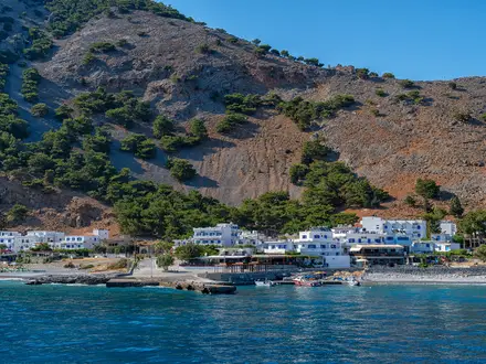
- Gythio: The Laconian Gulf port marks the end of the mainland E4. It is the ferry link towards Crete and the final sea-level finish after the Peloponnese mountains.
Challenges to expect
This is an expert route because of scale, remoteness and navigation, not just daily technical difficulty. Expect long mountain stages, large cumulative ascent, rocky paths, dirt roads, forest tracks and patchy or faded E4 waymarking, especially in central Greece. Snow can linger on high ground into mid-June, while midsummer heat is a serious issue in the lower south. Resupply exists in towns and villages but can be widely spaced.
HikeList Score
E4 European Long-Distance Trail (Greek Section) scored 76/100 on HikeList's trail-quality metrics.
See score breakdownHide breakdown
- Ideal length 52
- Balanced challenge 48
- Scenery & wildness 98
- Varied terrain 71
- Accommodation 92
- Food & support 81
- Path quality 98
- Season flexibility 89
Computed from length, challenge, scenery & wildness, terrain variety, accommodation, food & support, path quality and season flexibility.
 Greece
Show more data Show less
- Mountainous
- Forest
- Dirt
- Rocky
- Gravel
- Hotels
- Hostels
- Huts
- Campsites
- Wild Camping Spots
- Pet Friendly
- Water Sources
- Campsites
- Shelters
Photos from hikers
Taken on the trail by people who've reviewed E4 European Long-Distance Trail (Greek Section).
Reviews
How would you rate E4 European Long-Distance Trail (Greek Section)?
Tap a star to start your review — you could be the first.