Monte Brè to Monte Boglia
How would you rate Monte Brè to Monte Boglia?
Tap a star to share your experience and help other hikers.
Monte Brè to Monte Boglia: Lugano’s Border-Summit Day Hike
HikeList Score
Monte Brè to Monte Boglia scored 83/100 on HikeList's trail-quality metrics.
See score breakdownHide breakdown
- Ideal length 55
- Balanced challenge 100
- Scenery & wildness 98
- Varied terrain 87
- Accommodation 66
- Food & support 81
- Path quality 98
- Season flexibility 89
Computed from length, challenge, scenery & wildness, terrain variety, accommodation, food & support, path quality and season flexibility.
Monte Brè to Monte Boglia is a moderate day hike in the Lugano Prealps of Ticino, southern Switzerland. The standard Alpe Bolla loop is about 13 km with 811 m of ascent, climbing from Brè above Lake Lugano to Monte Boglia’s grassy 1,516 m summit on the Swiss-Italian border. It suits fit hikers who want a half-to-full day mountain walk with woodland, open ridges and wide lake-and-Alps views without committing to a multi-day route.
Route Overview
The usual circuit starts and finishes in Brè, reached from Lugano by the paid Monte Brè funicular or by road/on foot to the village. The loop heads through lower beech and chestnut woodland to Capanna Alpe Bolla, then climbs towards the summit ridge and Monte Boglia. From the top, the route returns to Brè, with some dirt-road sections on the descent. A direct out-and-back variant via Sasso Rosso is also used, but Alpe Bolla belongs to the fuller loop. For another Ticino viewpoint walk, see the Cardada Cimetta Panorama Trail; for bigger Swiss mountain itineraries, compare the Alpine Pass Route (Route 6).
Brè, the Funicular and an Old Border Summit
Brè village is recorded from at least 1280 and was historically reached by mule path before the Monte Brè funicular opened in 1908, linking Lugano with the summit area and helping turn Brè into a summer retreat. The village later became known as an artists’ village and is associated with the Wilhelm Schmid Museum. Monte Boglia itself is a long-recognised border summit on the Switzerland-Italy frontier, above historic mule and trade routes between Lugano, Val Colla and the Italian valleys.
Notable highlights
- Monte Brè village and funicular: The departure area sits above Lake Lugano, with the funicular providing the simplest access from the city to the 933 m Monte Brè summit area.
- Sasso Rosso: A waymarked intermediate point on the direct ascent, reached through beech forest on a steady mountain path.
- Alpe Bolla / Capanna Alpe Bolla: A working alpe and mountain hut on the loop variant, offering refreshments, local products and overnight beds.
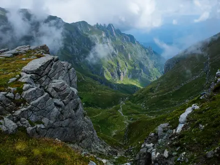
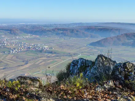
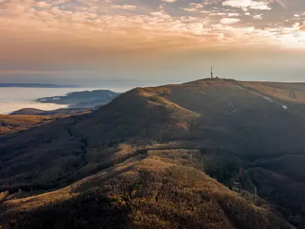
- Monte Boglia summit (1,516 m): A broad grassy border summit, also called Colmafregia, with 360-degree views over Lake Lugano, the Valais Alps and Monte Rosa.
- Swiss-Italian border ridge: The summit crest follows the boundary between Ticino and Lombardy, giving the walk a clear cross-border character.
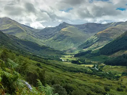
- Beech and chestnut woodland: The lower slopes pass through the classic woods of the Lugano hills before the route opens onto meadows and ridge terrain.
Challenges to expect
Expect a real mountain path rather than a lakeside stroll: around 811 m of ascent, steeper ground after Alpe Bolla and rockier sections near the summit ridge. Lower slopes are wooded, but the upper ridge and summit are exposed to sun, wind and sudden weather changes. Some variants include a gorge crossing with a fixed cable and wooden footbridge. Carry water and check hut opening times before relying on Capanna Alpe Bolla.
HikeList Score
Monte Brè to Monte Boglia scored 83/100 on HikeList's trail-quality metrics.
See score breakdownHide breakdown
- Ideal length 55
- Balanced challenge 100
- Scenery & wildness 98
- Varied terrain 87
- Accommodation 66
- Food & support 81
- Path quality 98
- Season flexibility 89
Computed from length, challenge, scenery & wildness, terrain variety, accommodation, food & support, path quality and season flexibility.
 Switzerland
Show more data Show less
- Mountainous
- Forest
- Meadow
- Ridge
- Dirt
- Rocky
- Huts
- Hotels
- Family Friendly
- Pet Friendly
- Restrooms
- Water Sources
- Picnic Areas
Photos from hikers
Taken on the trail by people who've reviewed Monte Brè to Monte Boglia.
Reviews
How would you rate Monte Brè to Monte Boglia?
Tap a star to start your review — you could be the first.