Logar Valley Panoramic Trail
How would you rate Logar Valley Panoramic Trail?
Tap a star to share your experience and help other hikers.
Logar Valley Panoramic Trail: Rinka Waterfall Day Hike
HikeList Score
Logar Valley Panoramic Trail scored 83/100 on HikeList's trail-quality metrics.
See score breakdownHide breakdown
- Ideal length 55
- Balanced challenge 100
- Scenery & wildness 98
- Varied terrain 83
- Accommodation 66
- Food & support 88
- Path quality 98
- Season flexibility 89
Computed from length, challenge, scenery & wildness, terrain variety, accommodation, food & support, path quality and season flexibility.
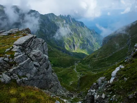
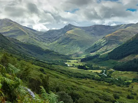
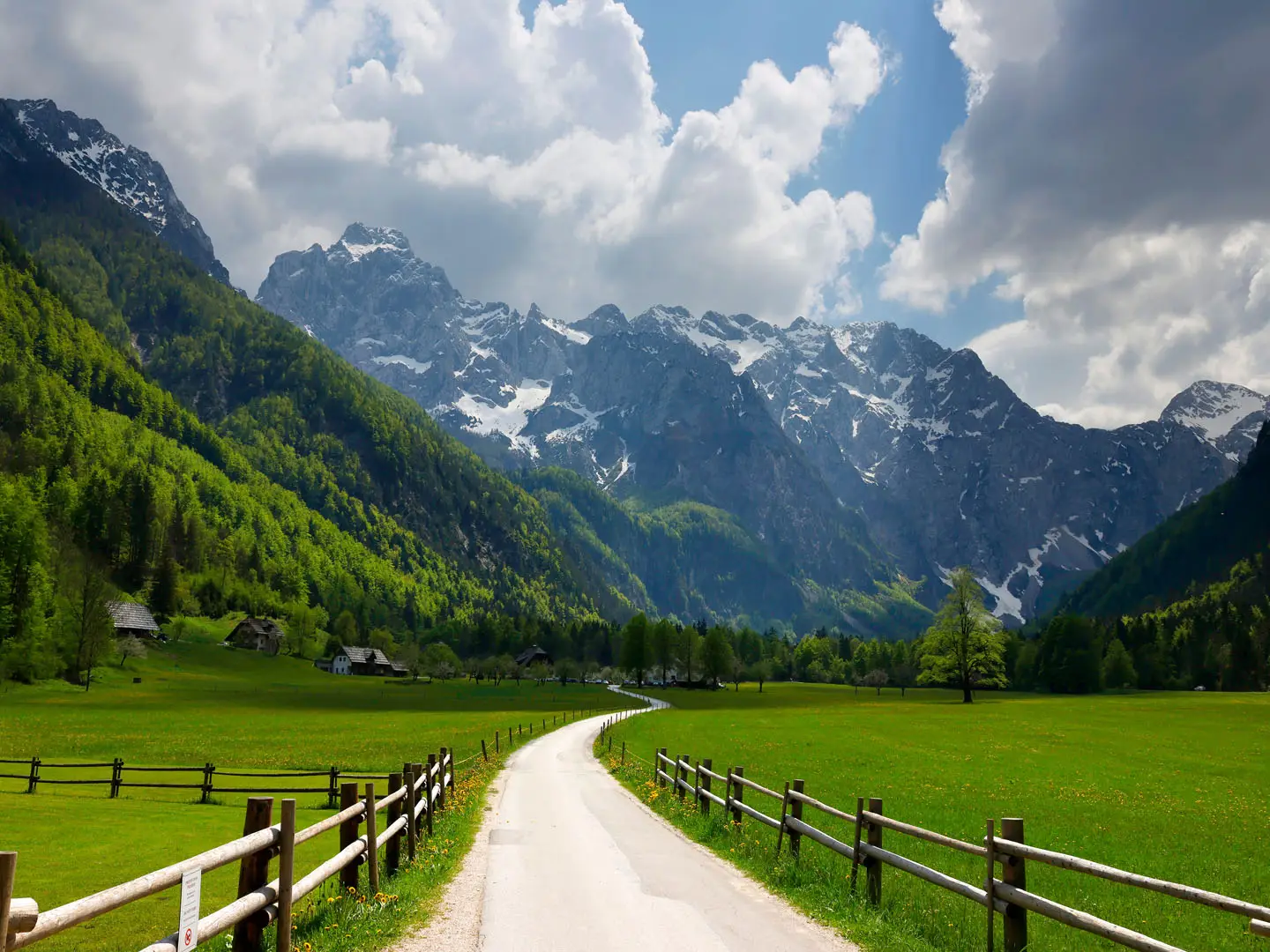
The Logar Valley Panoramic Trail is an easy-to-moderate valley walk in Logarska dolina, northern Slovenia, beneath the Kamnik-Savinja Alps. The full there-and-back outing is about 13 km and takes roughly 4–5 hours, with mostly gentle gravel, earth and meadow tracks before a short steeper, stony climb to Rinka waterfall. It suits day hikers who want big Alpine scenery without committing to a high mountain route.
Route Overview
Start near the Logar farm and valley entrance, then follow the waymarked Logar Valley Trail up the glacial valley floor towards the head of the valley. The route passes meadows, beech and spruce forest, Palenk waterfall, a traditional charcoal-burning hut and Logarski kot before reaching the Rinka waterfall car park and the path up to the falls. The canonical walk is out-and-back, not a true loop, though parts can be varied on a parallel forest path. Logar Valley is near Solcava, close to the Austrian border and about 90 km / 1.5 hours from Ljubljana by road. For another Slovenian valley walk, see the Kamniska Bistrica Valley Trail.
Glacial Valley, Alpine Farms and Landscape Park Protection
Logar Valley is a classic U-shaped glacial valley in the Kamnik-Savinja Alps, about 7 km long. Its isolated alpine homesteads were shaped by hardy farming families, forestry and traditional mountain life, still reflected in features such as the preserved charcoal kiln. The area became the Logar Valley Landscape Park in 1987 to protect its scenery, rare Alpine flora and fauna, and numerous designated natural monuments.
Notable highlights
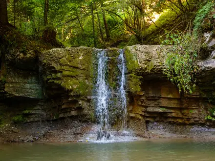
- Rinka waterfall (~90 m main drop): The trail’s natural climax at the head of the valley, fed from the Okresel cirque and regarded as a source of the Savinja River.
- Orlovo gnezdo / Eagle’s Nest: A viewpoint and small bar perched above the falls, reached by the steep path beside Rinka waterfall.
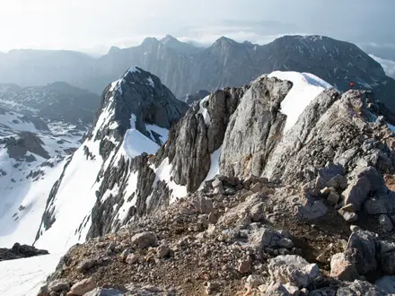
- Glacial valley scenery: A broad U-shaped trough ringed by 2000 m+ Kamnik-Savinja peaks including Ojstrica, Planjava and Skuta.
- Logar Valley Landscape Park: Protected since 1987, with over 40 natural monuments, traditional alpine farms, charcoal-burning relics and a botanical circuit.
- Palenk waterfall and ethnographic features: Smaller cascades and a preserved charcoal kiln add interest before the final approach to the valley head.
Challenges to expect
Navigation is straightforward on the well-waymarked valley trail, and most of the route is gentle. The main effort comes at the end: the short climb from the Rinka waterfall car park to the base and Eagle’s Nest area is steeper, stony and can be slippery in wet weather. Expect more visitors in peak summer; late May–June and September are quieter shoulder-season options. For higher Alpine objectives, compare routes such as the Bohinj to Triglav Trail or Kranjska Gora to Trenta Trail.
HikeList Score
Logar Valley Panoramic Trail scored 83/100 on HikeList's trail-quality metrics.
See score breakdownHide breakdown
- Ideal length 55
- Balanced challenge 100
- Scenery & wildness 98
- Varied terrain 83
- Accommodation 66
- Food & support 88
- Path quality 98
- Season flexibility 89
Computed from length, challenge, scenery & wildness, terrain variety, accommodation, food & support, path quality and season flexibility.
Show more data Show less
- Valley
- Forest
- Alpine
- Gravel
- Dirt
- Stony
- Hotels
- Huts
- Family Friendly
- Pet Friendly
- Restrooms
- Water Sources
- Campsites
- Picnic Areas
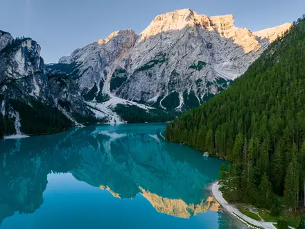
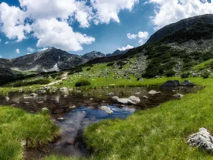
Photos from hikers
Taken on the trail by people who've reviewed Logar Valley Panoramic Trail.
Reviews
How would you rate Logar Valley Panoramic Trail?
Tap a star to start your review — you could be the first.