Cardada Cimetta Panorama Trail
How would you rate Cardada Cimetta Panorama Trail?
Tap a star to share your experience and help other hikers.
Cardada Cimetta Panorama Trail: Locarno’s Lift-Served Summit Loop
HikeList Score
Cardada Cimetta Panorama Trail scored 76/100 on HikeList's trail-quality metrics.
See score breakdownHide breakdown
- Ideal length 51
- Balanced challenge 100
- Scenery & wildness 85
- Varied terrain 89
- Accommodation 57
- Food & support 68
- Path quality 84
- Season flexibility 89
Computed from length, challenge, scenery & wildness, terrain variety, accommodation, food & support, path quality and season flexibility.
The Cardada Cimetta Panorama Trail is a 5.2 km moderate circular hike above Locarno in Ticino, southern Switzerland. It starts at the Cardada cable-car mountain station, climbs to Cimetta at 1,671 m, and returns to Cardada, taking about 2 hours 55 minutes of walking. This is a short half-day mountain walk: good for hikers wanting lake and alpine views without committing to a hut-to-hut route. Expect well-graded paths, a sustained climb, woodland, meadow and some rockier ground near the summit.
Route Overview
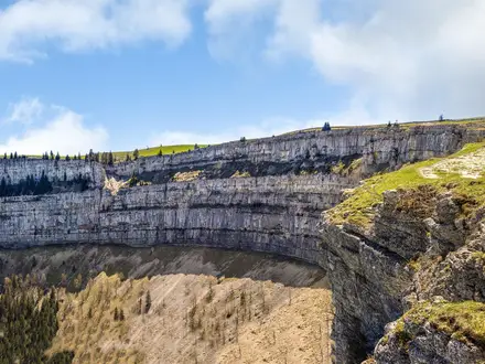
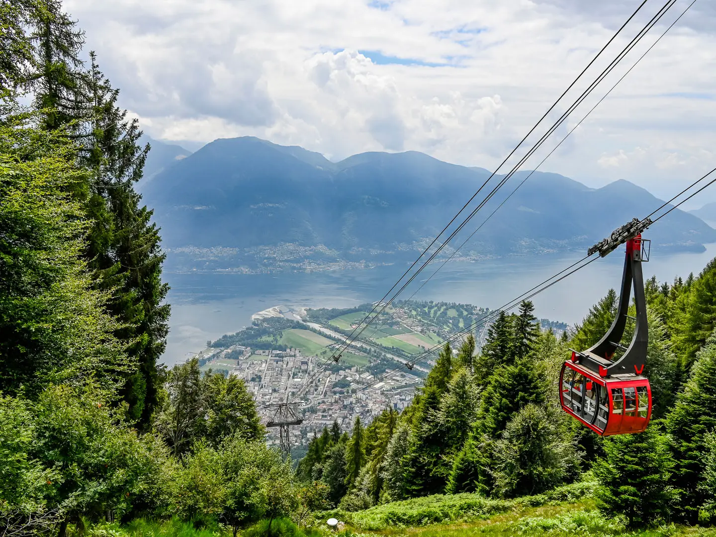
Start and finish at the Cardada cable-car mountain station at about 1,340 m. From Locarno, take the Locarno–Madonna del Sasso funicular to Orselina, then the Orselina–Cardada cable car. The circular SvizzeraMobile local route 954 climbs from Cardada towards Croce Alpe Cardada, passes Alpe Cardada and continues to the 1,671 m Cimetta summit before looping back; a common return variant goes via Alpe Vegnasca. The Cardada–Cimetta chairlift can shorten or ease the final stretch or descent. For other Swiss panorama routes, compare the Aletsch Glacier Panorama Trail or the Davos to Arosa Panorama Trail.
Cardada-Cimetta’s Lift and Design History
Access to Cardada-Cimetta has shaped this walk for more than a century. The Locarno–Madonna del Sasso funicular opened in 1906, followed by the first Orselina–Cardada cable car on 26 December 1952. Between 1998 and 2000 the facility was rebuilt: Mario Botta designed the new cabins and stations with Paolo Pedrazzini, while Paolo Bürgi created the scenic promontory, recreational path and Cimetta geological observatory. The renewed Cardada-Cimetta reopened on 7 June 2000.
Notable highlights
- Suspended panoramic promontory: A granite-paved walkway by Paolo Bürgi projects into the treetops above Cardada and ends at a cantilevered viewing platform. It gives a 180° panorama over Lake Maggiore, the Centovalli and the Maggia Valley.
- Cimetta geological observatory: At the 1,671 m summit, this circular observatory by Paolo Bürgi marks the Insubric Line in red paving. Rock samples from both continental plates are displayed, making the viewpoint more than just a summit stop.
- Two extremes of Switzerland: In clear conditions, Cimetta has sightlines to Lake Maggiore at 193 m and the Dufourspitze / Peak Dufour on Monte Rosa at 4,634 m.
- Croce Alpe Cardada: This iron-and-stone summit cross from 1901 stands at 1,460 m and is a useful viewpoint on the climb towards Cimetta.
- Mario Botta architecture: The modern cable-car cabins and the valley and mountain stations were designed by Ticino architect Mario Botta during the 1998–2000 rebuild.
Challenges to expect
This is moderate rather than technical: the main effort is the sustained climb from Cardada to Cimetta, with about 380 m of ascent and descent. Surfaces are mostly natural mountain path through woodland and meadow, but expect rockier or gravel sections near the summit plus short paved links. For the hiking circuit, plan for late spring to autumn; in winter the area is used for snowshoeing and sledging instead.
HikeList Score
Cardada Cimetta Panorama Trail scored 76/100 on HikeList's trail-quality metrics.
See score breakdownHide breakdown
- Ideal length 51
- Balanced challenge 100
- Scenery & wildness 85
- Varied terrain 89
- Accommodation 57
- Food & support 68
- Path quality 84
- Season flexibility 89
Computed from length, challenge, scenery & wildness, terrain variety, accommodation, food & support, path quality and season flexibility.
Show more data Show less
- Mountainous
- Forest
- Alpine Meadow
- Dirt
- Rocky
- Gravel
- Paved
- Hotels
- Family Friendly
- Pet Friendly
- Restrooms
- Picnic Areas
Photos from hikers
Taken on the trail by people who've reviewed Cardada Cimetta Panorama Trail.
Reviews
How would you rate Cardada Cimetta Panorama Trail?
Tap a star to start your review — you could be the first.