Lago di Braies to Prato Piazza
How would you rate Lago di Braies to Prato Piazza?
Tap a star to share your experience and help other hikers.
Lago di Braies to Prato Piazza: Dolomites Day Hike
HikeList Score
Lago di Braies to Prato Piazza scored 81/100 on HikeList's trail-quality metrics.
See score breakdownHide breakdown
- Ideal length 55
- Balanced challenge 100
- Scenery & wildness 98
- Varied terrain 71
- Accommodation 66
- Food & support 88
- Path quality 98
- Season flexibility 63
Computed from length, challenge, scenery & wildness, terrain variety, accommodation, food & support, path quality and season flexibility.
The Lago di Braies to Prato Piazza hike is a 13 km, 1-day moderate point-to-point route in South Tyrol, Italy. It climbs from Lago di Braies / Pragser Wildsee to the high plateau of Prato Piazza / Plätzwiese inside the Fanes-Sennes-Braies Nature Park. Expect a proper mountain path: forest, alpine grass, limestone scree and a short cable-secured exposed step. It suits sure-footed hikers who want a big Dolomites day without committing to a multi-day trek.
Route Overview
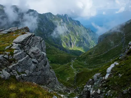
Walk it uphill from Lago di Braies / Pragser Wildsee, starting near the lake shore at about 1,496 m, then climb through forest and alpine ground towards Stolla Alm / Malga Stolla. The route joins the Gaisl-Höhenweg below the Croda Rossa / Hohe Gaisl massif, with rocky and scree sections before Rossalm / Malga Rossa and the high saddle at about 2,339 m. It then descends to the Prato Piazza / Plätzwiese plateau, with Rifugio Prato Piazza, Berggasthof Plätzwiese and Rifugio Vallandro nearby. This is a point-to-point walk: use SAD buses 442/443 for Lago di Braies and summer bus or road access for Plätzwiese. Part of the route overlaps the Alta Via 1; for a harder Dolomites thru-hike, compare the Alta Via 2.
Forte Prato Piazza and the Dolomite front
Prato Piazza / Plätzwiese was fortified by the Austro-Hungarian Empire in the late 19th century. Forte Prato Piazza was built between 1889 and 1894 to guard the approach from Val di Landro towards the Puster valley. During the First World War, the surrounding Dolomite front saw heavy mountain fighting, and the fort was used as an observation post after its guns were removed. Trenches, tunnels and ruined barracks still remain on the plateau.
Notable highlights
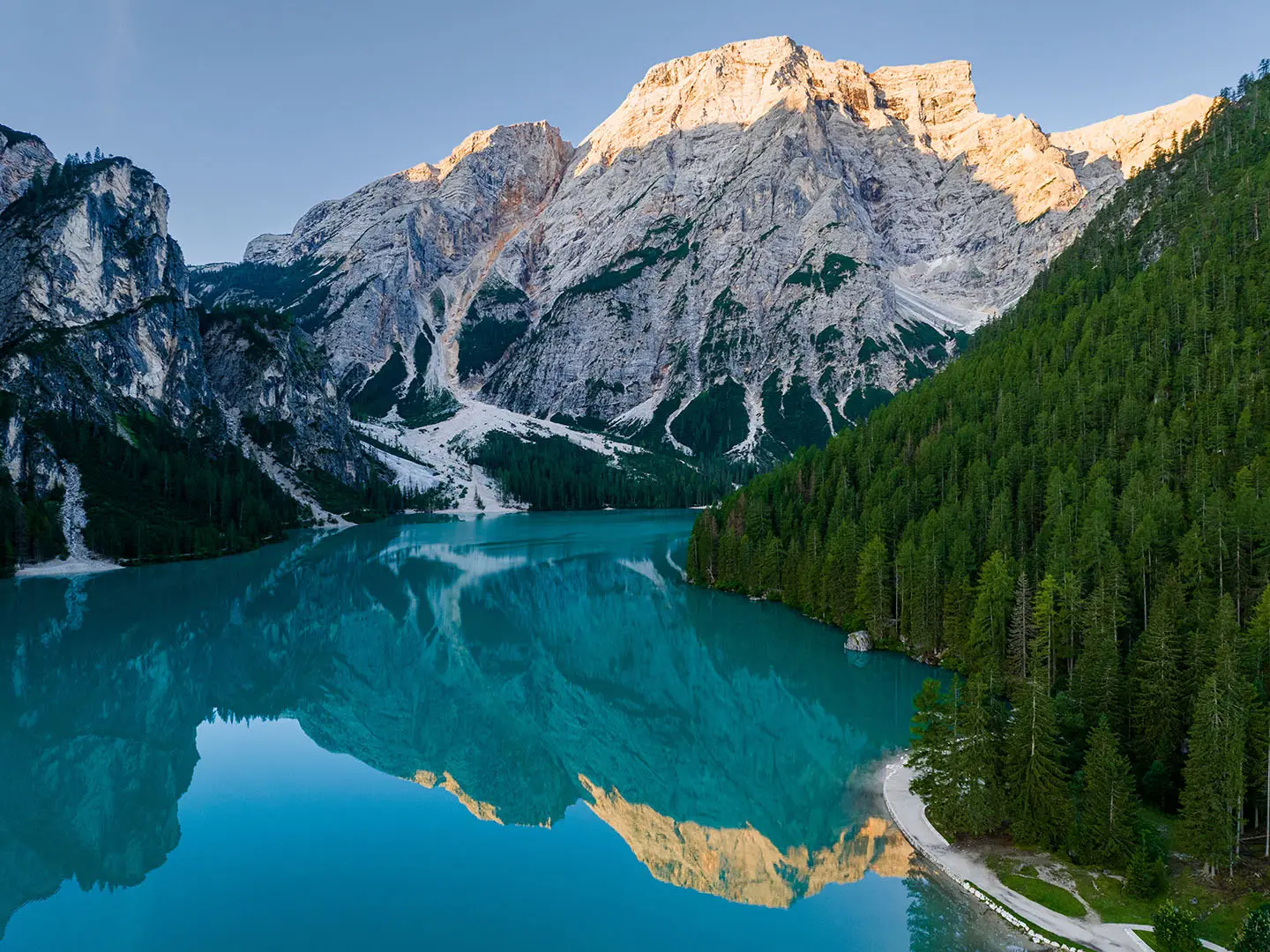
- Lago di Braies / Pragser Wildsee (~1,496 m): The turquoise glacial lake marks the start of the hike, framed by Dolomite walls and the Croda del Becco.
- Croda Rossa / Hohe Gaisl massif: The Gaisl-Höhenweg traverses below this red-tinged dolomite wall, giving the high section its stark scree-and-rock character.
- Rossalm / Malga Rossa (~2,164 m): A managed alpine pasture hut on the traverse, useful for a break or hut meal when open.
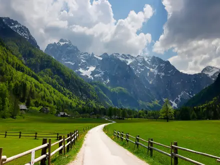
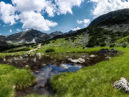
- Prato Piazza / Plätzwiese plateau (~2,000 m): A broad grassy high plateau with views towards Dürrenstein, Cristallo and, in clear weather, the Tre Cime massif.
- Forte Prato Piazza: A ruined Austro-Hungarian fort on the plateau, with First World War remains scattered through the surrounding meadows.
Challenges to expect
This is moderate, not technical, but it is still a Dolomites mountain route. The Gaisl-Höhenweg includes loose limestone scree, rocky footing and a short exposed cable-secured step, so sure-footedness is needed. Early-season snow can linger on the high traverse. Logistics also matter: both Lago di Braies and Plätzwiese have summer access restrictions, shuttles, buses or toll-road arrangements to check in advance.
HikeList Score
Lago di Braies to Prato Piazza scored 81/100 on HikeList's trail-quality metrics.
See score breakdownHide breakdown
- Ideal length 55
- Balanced challenge 100
- Scenery & wildness 98
- Varied terrain 71
- Accommodation 66
- Food & support 88
- Path quality 98
- Season flexibility 63
Computed from length, challenge, scenery & wildness, terrain variety, accommodation, food & support, path quality and season flexibility.
 Italy
ItalyShow more data Show less
- Mountain
- Alpine
- Dirt
- Rock
- Scree
- Huts
- Hotels
- Family Friendly
- Pet Friendly
- Restrooms
- Water Sources
- Campsites
- Shelters
- Picnic Areas
In these collections
Photos from hikers
Taken on the trail by people who've reviewed Lago di Braies to Prato Piazza.
Reviews
How would you rate Lago di Braies to Prato Piazza?
Tap a star to start your review — you could be the first.