Mont Saint-Michel Approach
How would you rate Mont Saint-Michel Approach?
Tap a star to share your experience and help other hikers.
Mont Saint-Michel Approach: Barefoot Bay Crossing Guide
HikeList Score
Mont Saint-Michel Approach scored 68/100 on HikeList's trail-quality metrics.
See score breakdownHide breakdown
- Ideal length 55
- Balanced challenge 50
- Scenery & wildness 78
- Varied terrain 71
- Accommodation 57
- Food & support 81
- Path quality 98
- Season flexibility 89
Computed from length, challenge, scenery & wildness, terrain variety, accommodation, food & support, path quality and season flexibility.
The Mont Saint-Michel Approach is a guided barefoot crossing of the Bay of Mont-Saint-Michel in Normandy, France: about 7 km one-way from Bec d'Andaine near Genêts to the abbey island. It is an easy, flat day outing in walking terms, but the tidal hazards are serious. Fast-rising water, shifting river channels and quicksand mean this is not a self-guided hike. It suits walkers who want a short, memorable coastal experience rather than a conventional waymarked trail.
Route Overview
The classic traversée de la baie starts at Bec d'Andaine, near Genêts in Manche, and crosses the open foreshore towards the entrance of Mont-Saint-Michel village. Alternative guided departures use Pointe du Grouin du Sud at Saint-Léonard near Vains. Expect wet sand, mud, shallow water and fords across shifting channels of the Sée, Sélune and Couesnon, with Tombelaine passed on some longer routes. The standard one-way crossing is point-to-point; many guide companies also run return outings with transport. For a more conventional Normandy walk, compare the D-Day Beaches Circuit, or look at the coastal Bordeaux to Arcachon Trail and the flat Canal du Midi Towpath.
Mont-Saint-Michel: Pilgrimage, Tides and the Abbey
Mont-Saint-Michel began as a monastic site in 708, when Bishop Aubert of Avranches built an oratory on the rock then known as Mont Tombe after a vision of Saint Michael. It became a major medieval pilgrimage destination, with “Miquelot” pilgrims crossing the dangerous bay on foot. The abbey withstood English sieges during the Hundred Years’ War, protected by tides and sands. Mont-Saint-Michel and its Bay were inscribed as a UNESCO World Heritage Site in 1979.
Notable highlights
- Bay of Mont-Saint-Michel tides: The bay has among Europe’s largest tidal ranges, up to about 14–15 m on big spring tides, so crossings are timed around low water.
- Barefoot walk across the estran: The route crosses rippled sand, mud and shallow channels rather than a made path, giving a historic pilgrim-style approach to the mount.
- Quicksand, or sables mouvants: Soft, water-saturated sand is a real hazard; certified guides read the bay and steer groups safely through it.
- Couesnon river fords: Walkers wade shifting channels, chiefly the Couesnon, historically associated with the Normandy–Brittany boundary.
- Tombelaine islet: This small rocky island and protected bird reserve is passed on some longer crossings and is a notable landmark in the bay.
- Mont-Saint-Michel abbey: The Gothic abbey crowns the island, which rises about 92 m above sea level, though the crossing itself stays on the tidal flats.
Challenges to expect
The walking is flat, but the bay is hazardous. Expect wet feet, mud, soft sand, shallow fords and changeable underfoot conditions. The incoming tide can rise quickly, and quicksand patches are not obvious to visitors. Do not attempt this alone: crossings must be led by a certified bay guide and scheduled around low tide.
HikeList Score
Mont Saint-Michel Approach scored 68/100 on HikeList's trail-quality metrics.
See score breakdownHide breakdown
- Ideal length 55
- Balanced challenge 50
- Scenery & wildness 78
- Varied terrain 71
- Accommodation 57
- Food & support 81
- Path quality 98
- Season flexibility 89
Computed from length, challenge, scenery & wildness, terrain variety, accommodation, food & support, path quality and season flexibility.
Show more data Show less
- Coastal
- Tidal Flats
- Sand
- Mud
- Shallow Water
- Hotels
- Family Friendly
- Pet Friendly
- Restrooms
- Water Sources
- Picnic Areas
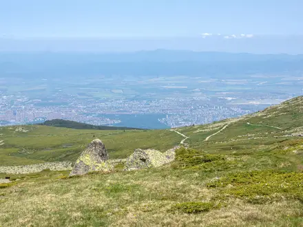
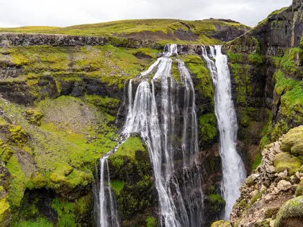
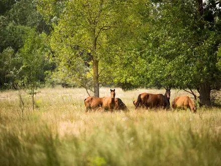
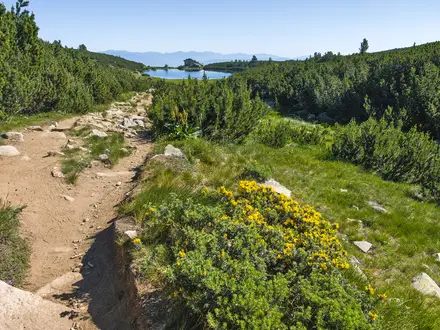
Photos from hikers
Taken on the trail by people who've reviewed Mont Saint-Michel Approach.
Reviews
How would you rate Mont Saint-Michel Approach?
Tap a star to start your review — you could be the first.