Letea Forest Trail
How would you rate Letea Forest Trail?
Tap a star to share your experience and help other hikers.
Letea Forest Trail: Danube Delta Sand-Forest Walk
HikeList Score
Letea Forest Trail scored 69/100 on HikeList's trail-quality metrics.
See score breakdownHide breakdown
- Ideal length 55
- Balanced challenge 50
- Scenery & wildness 85
- Varied terrain 76
- Accommodation 66
- Food & support 61
- Path quality 98
- Season flexibility 89
Computed from length, challenge, scenery & wildness, terrain variety, accommodation, food & support, path quality and season flexibility.
The Letea Forest Trail is an easy 7 km round-trip walk on the Letea sandbank in the northern Danube Delta, Tulcea County, Romania. It follows the official marked D1 terrestrial route through a protected sand-dune forest between Letea/Sfiștofca, Nebunu Lake and Letea. Allow about 3–4 hours, making it a half-day outing. The route suits nature-focused hikers, birders and walkers wanting flat terrain, unusual dune woodland and strict-reserve scenery rather than a strenuous trek.
Route Overview
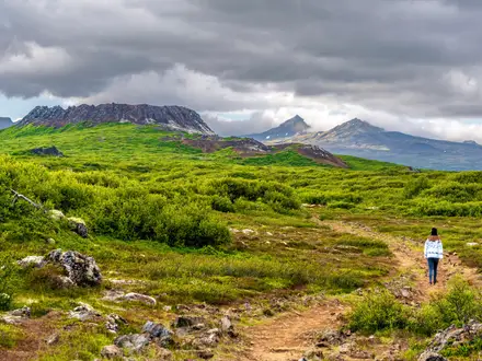
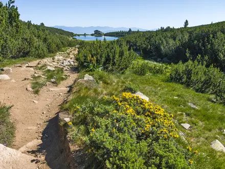
The official walking route is D1, signed Letea/Sfiștofca – Nebunu Lake – Letea, returning to the start village as an out-and-back-style marked route. There is no private road access: most visitors arrive by boat from Sulina, about 23 km southeast of the forest, or via delta channels from Tulcea, then continue from the village on foot or by traditional horse-drawn cart. Motorised vehicles are banned inside the reserve. The walk crosses soft sand tracks, grassy clearings, dune slacks and mixed oak-poplar woodland. For contrast with other Romanian routes, compare it with the lowland Black Sea Coastal Trail or the mountain scenery of the Bucegi Plateau Circuit and Carpathian Ridge Trail.
Protected Since 1938
Letea was declared a nature reserve in 1938, making it Romania’s oldest nature reserve. The forest grows on sand ridges built by the Danube over millennia and later became the founding nucleus of the UNESCO Danube Delta Biosphere Reserve, recognised in 1992. Under Law 5/2000 it has IUCN category Ia strict protection: the fully protected core is reserved for scientific research and monitoring, while visitors remain on the permitted buffer route.
Notable highlights
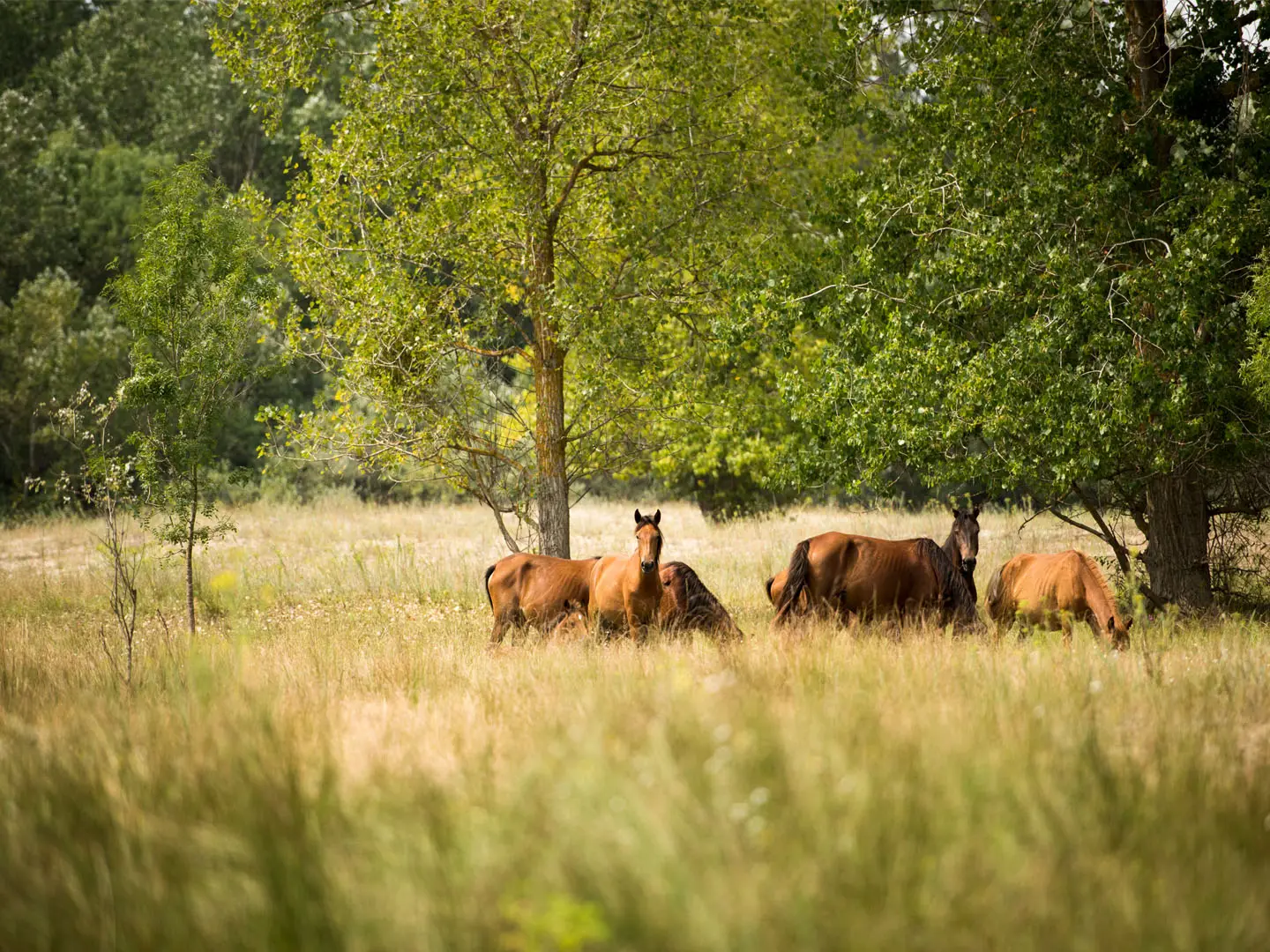
Wild horses: Free-roaming horses are the emblem of Letea, descended from domestic animals abandoned in the delta during the 1970s–80s. Herds are a memorable sight for walkers, though overgrazing is now a conservation concern.
Subtropical lianas: Twisted oaks are draped with climbing vines, especially Greek silkvine (Periploca graeca), which reaches its northern natural limit here. This gives parts of the forest an unusually subtropical feel for Europe.
Sand dunes and dune slacks: The trail crosses wind-shaped dunes alternating with damp low-lying slacks. It is a rare desert-meets-forest landscape formed on the Letea grind.
Ancient oak woodland: Groves of old English oak grow between the dunes with poplar, ash, lime and elm. The shade is welcome after exposed sandy sections.
Birdlife: The reserve and surrounding Danube Delta support species such as red-footed falcon, white-tailed eagle, roller and hoopoe. Spring and autumn migration are the best periods for bird-focused visits.
Delta villages: Letea and Sfiștofca have reed-thatched, blue-and-white houses and sandy streets, giving the walk a strong sense of remote Danube Delta village life.
Challenges to expect
The route is flat, but soft sand makes progress slower than the 7 km distance suggests. Open dunes have little shade, and summer brings heat, humidity, mosquitoes and biting insects. There are no facilities or water sources on the route, so carry water. The strict reserve rules matter: you need an ARBDD visitor permit and must stay on the permitted marked route, often with a guide or cart operator.
HikeList Score
Letea Forest Trail scored 69/100 on HikeList's trail-quality metrics.
See score breakdownHide breakdown
- Ideal length 55
- Balanced challenge 50
- Scenery & wildness 85
- Varied terrain 76
- Accommodation 66
- Food & support 61
- Path quality 98
- Season flexibility 89
Computed from length, challenge, scenery & wildness, terrain variety, accommodation, food & support, path quality and season flexibility.
 Romania
Show more data Show less
- Forest
- Sand Dunes
- Wetland
- Sand
- Dirt
- Guesthouses
- Boat Based Stays
- Family Friendly
- Picnic Areas
Photos from hikers
Taken on the trail by people who've reviewed Letea Forest Trail.
Follow the official marked terrestrial route D1 from Letea or Sfiștofca towards Nebunu Lake, crossing soft sand tracks, dunes, grassy clearings and mixed oak-poplar woodland before returning to Letea. Allow about 3–4 hours at an easy pace, including wildlife and birdwatching stops.
Reviews
How would you rate Letea Forest Trail?
Tap a star to start your review — you could be the first.