Zirbenweg Trail
How would you rate Zirbenweg Trail?
Tap a star to share your experience and help other hikers.
Zirbenweg Trail: Easy Stone Pine Day Hike above Innsbruck
HikeList Score
Zirbenweg Trail scored 74/100 on HikeList's trail-quality metrics.
See score breakdownHide breakdown
- Ideal length 55
- Balanced challenge 64
- Scenery & wildness 98
- Varied terrain 64
- Accommodation 66
- Food & support 81
- Path quality 98
- Season flexibility 76
Computed from length, challenge, scenery & wildness, terrain variety, accommodation, food & support, path quality and season flexibility.
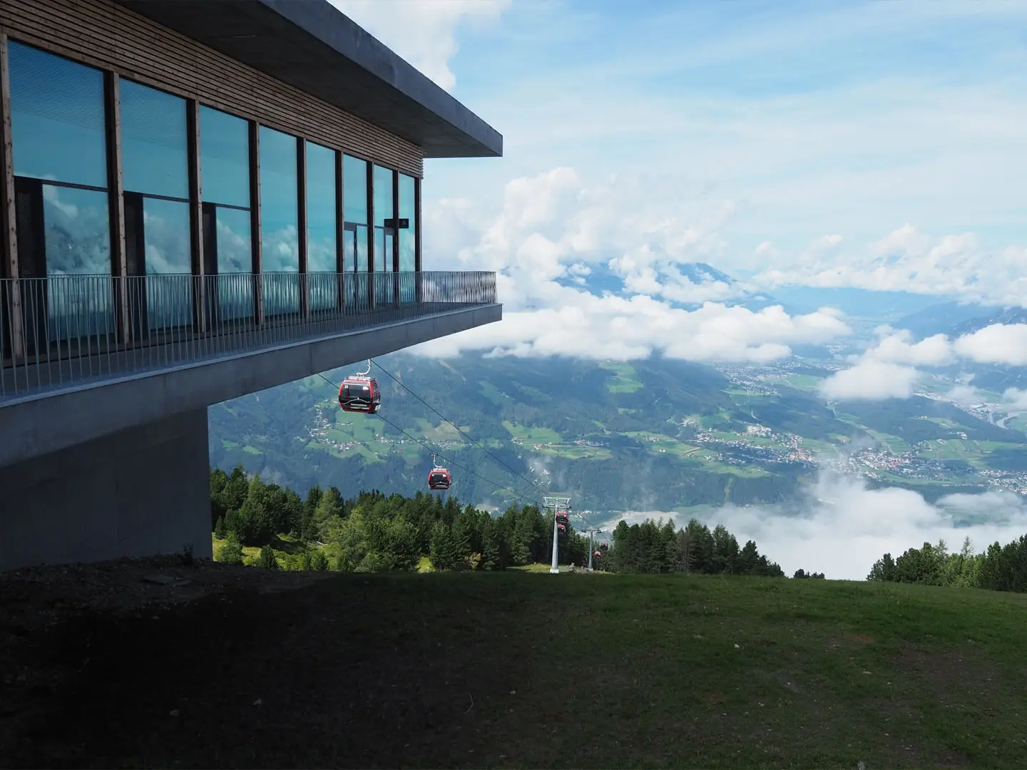
The Zirbenweg Trail is a 7 km, one-day, easy point-to-point hike in the Tyrolean Alps above Innsbruck, Austria. Running at roughly 2,000 m between the Patscherkofelbahn top station and Tulfeinalm/Glungezerbahn, it suits walkers wanting big Inn Valley, Nordkette and Karwendel views without a long or technical mountain day. The route follows well-marked paths through Swiss stone pine forest and is also walked as Stage 13 of the Eagle Walk (Adlerweg).
Route Overview
Most hikers ride the Patscherkofelbahn up from above Igls and start at the Patscherkofelbahn mountain station, near the Patscherkofel Schutzhaus. The Zirbenweg then traverses gently east along the treeline, passing Boscheben / Alpengasthof Boscheben after roughly 40 minutes, before continuing through stone pine forest and open panoramic slopes to Tulfeinalm at about 2,035 m. From there, the Glungezerbahn mid-station gives a gondola descent to Tulfes. It is a point-to-point route, so plan cable-car opening times at both ends. For longer Austrian mountain itineraries, compare the Hohe Tauern Panorama Trail or the Carnic High Trail (Karnischer Höhenweg).
Stone Pines, Alpine Pastures and the Adlerweg
The Zirbenweg follows old alpine pasture slopes above Innsbruck and takes its name from the Zirbe, or Swiss stone pine, a hardy high-altitude tree long valued in Tyrol for fragrant, durable timber. The route crosses centuries-old stone pine stands and has become one of the best-known easy panoramic walks near Innsbruck. In modern hiking terms it is also Stage 13 of Tyrol’s Eagle Walk, linking a short day hike with a major regional long-distance route.
Notable highlights
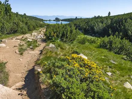
- Swiss stone pine forest: The path crosses one of the largest and oldest Zirben forests in the Alps, with some particularly old trees in the Ampasser Kessel area.
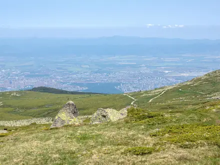
- Inn Valley, Nordkette and Karwendel views: The contouring route stays around the treeline, giving frequent views down to Innsbruck and across to the northern limestone ranges.
- Alpine roses: June and July are especially noted for pink-red Almrosen on the slopes, with gentians and other alpine flowers also seen in season.
- Boscheben hut: Alpengasthof Boscheben is a practical mid-route stop for food and drink, reached roughly 40 minutes from the start.
- Tulfeinalm and alpine garden: Near the finish, Tulfeinalm sits by a high alpine show garden and the Glungezerbahn descent point.
- Patscherkofel summit option: From the cable-car station, fit walkers can add a detour to the 2,246 m Patscherkofel summit before or after the traverse.
Challenges to expect
This is an easy mountain walk, but it still sits around 2,000 m, so weather can change quickly and visibility matters. The surface is mostly good path, with some rocky and narrower stretches. There is only about 200 m of ascent, but the route is point-to-point, so missed cable-car times can complicate the finish. Huts are useful for food and drink, but check seasonal opening.
HikeList Score
Zirbenweg Trail scored 74/100 on HikeList's trail-quality metrics.
See score breakdownHide breakdown
- Ideal length 55
- Balanced challenge 64
- Scenery & wildness 98
- Varied terrain 64
- Accommodation 66
- Food & support 81
- Path quality 98
- Season flexibility 76
Computed from length, challenge, scenery & wildness, terrain variety, accommodation, food & support, path quality and season flexibility.
 Austria
Show more data Show less
- Mountainous
- Forest
- Dirt
- Rocky
- Hotels
- Huts
- Family Friendly
- Pet Friendly
- Restrooms
- Water Sources
- Shelters
Photos from hikers
Taken on the trail by people who've reviewed Zirbenweg Trail.
Reviews
How would you rate Zirbenweg Trail?
Tap a star to start your review — you could be the first.