Mikulov Wine Trail
How would you rate Mikulov Wine Trail?
Tap a star to share your experience and help other hikers.
Mikulov Wine Trail: South Moravia’s Vineyard Loop
HikeList Score
Mikulov Wine Trail scored 82/100 on HikeList's trail-quality metrics.
See score breakdownHide breakdown
- Ideal length 66
- Balanced challenge 90
- Scenery & wildness 78
- Varied terrain 94
- Accommodation 83
- Food & support 88
- Path quality 80
- Season flexibility 89
Computed from length, challenge, scenery & wildness, terrain variety, accommodation, food & support, path quality and season flexibility.
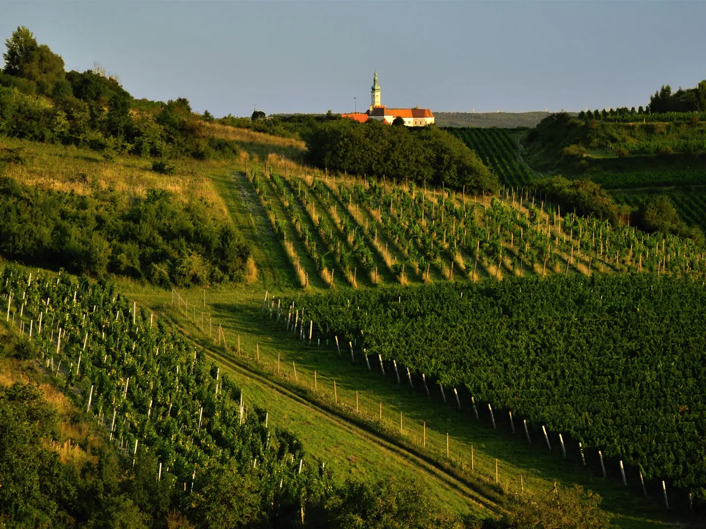
The Mikulov Wine Trail is an 84 km waymarked loop through the Mikulov wine sub-region of South Moravia in Czechia. It is best treated as a 2-3 day easy-to-moderate cycling route, or as a walk in selected sections, rather than a dedicated long-distance hiking trail. The circuit links Mikulov, Valtice, Lednice, Pavlov, Dolni Vestonice, the Palava limestone hills and the Lednice-Valtice Cultural Landscape. It belongs to the Moravian Wine Trails network; for the wider greenway context see Czech Greenways.
Route Overview
This is a closed loop starting and ending in Mikulov, rideable or walkable in either direction. A typical circuit runs Mikulov → Sedlec → Uvaly → Valtice → Hlohovec → Lednice → Bulhary → Milovice → Pavlov → Dolni Vestonice → Strachotin → Ivan → Pasohlavky → Brod nad Dyji → Novy Prerov → Dobre Pole → Brezi → Mikulov. The northern and western arc follows the Dyje, fishponds and Nove Mlyny reservoirs below Palava; the southern arc crosses the UNESCO Lednice-Valtice landscape, climbs to the Reistna colonnade above Valtice and runs close to the Czech-Austrian border. For a more traditional foot trail in Czechia, compare the Golden Trail of the Czech Paradise or the Hussite Trail.
Wine, Liechtenstein Landscapes and a Modern Greenway
Wine is the older story here: viticulture in the Mikulov area reaches back to Roman times and developed through the Middle Ages. Near Dolni Vestonice, the region is also known for the roughly 25,000-year-old Venus of Vestonice figurine. The Lednice-Valtice landscape was shaped over centuries by the Liechtenstein family and was inscribed by UNESCO in 1996. The Mikulov Wine Trail itself is modern, created as part of the Moravian Wine Trails network between 1999 and 2003 by Nadace Partnerstvi under the Greenways banner.
Notable highlights
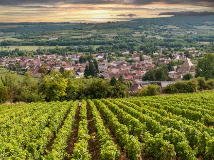
- Mikulov and its chateau: The loop starts and finishes in this Baroque wine town beneath a hilltop chateau. Holy Hill, Svaty kopecek, rises to 363 m beside the town with a Stations of the Cross and wide vineyard views.
- Palava, or Pavlovske vrchy: A white Jurassic limestone ridge above otherwise flat farmland. The route skirts the base rather than climbing Devin, the 554 m high point of the range.
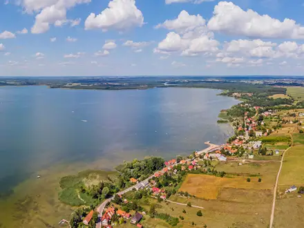
- Nove Mlyny reservoirs: Three large reservoirs on the Dyje beneath Palava. They define the flatter northern arc of the loop and are an important bird area.
- Lednice-Valtice Cultural Landscape: A UNESCO-listed designed landscape linking Lednice and Valtice with chateaux, avenues, temples and follies shaped by the Liechtenstein family.
- Reistna colonnade above Valtice: A neoclassical viewpoint on Homole hill at about 291 m. It is the highest point of the cycling loop and looks out towards the Austrian border country.
- Valtice and the National Wine Salon: Valtice is a major South Moravian wine centre, with the National Wine Salon in the chateau cellars offering tastings of selected Czech wines.
Challenges to expect
Expect an easy cycling profile rather than a mountain hike: mostly quiet roads, cycle paths, compacted gravel and dirt, with no technical ground. The main effort is the 84 km length and the climb to the Reistna colonnade. Summer can be hot and dry, and shade is limited in vineyard and reservoir sections. Navigation follows yellow Moravian Wine Trails cycling waymarks with the zudro logo, not hiking blazes.
HikeList Score
Mikulov Wine Trail scored 82/100 on HikeList's trail-quality metrics.
See score breakdownHide breakdown
- Ideal length 66
- Balanced challenge 90
- Scenery & wildness 78
- Varied terrain 94
- Accommodation 83
- Food & support 88
- Path quality 80
- Season flexibility 89
Computed from length, challenge, scenery & wildness, terrain variety, accommodation, food & support, path quality and season flexibility.
 Czechia
Show more data Show less
- Vineyards
- Hills
- River Valley
- Farmland
- Paved
- Gravel
- Dirt
- Hotels
- Guesthouses
- Wine Cellars
- Restrooms
- Water Sources
- Campsites
- Picnic Areas
- Restrooms
- Water Sources
- Campsites
- Picnic Areas
In these collections
Photos from hikers
Taken on the trail by people who've reviewed Mikulov Wine Trail.
Reviews
How would you rate Mikulov Wine Trail?
Tap a star to start your review — you could be the first.