Śniardwy Lake Trail
How would you rate Śniardwy Lake Trail?
Tap a star to share your experience and help other hikers.
Śniardwy Lake Trail: Hiking Around the Masurian Sea
HikeList Score
Śniardwy Lake Trail scored 85/100 on HikeList's trail-quality metrics.
See score breakdownHide breakdown
- Ideal length 70
- Balanced challenge 90
- Scenery & wildness 78
- Varied terrain 100
- Accommodation 92
- Food & support 88
- Path quality 84
- Season flexibility 89
Computed from length, challenge, scenery & wildness, terrain variety, accommodation, food & support, path quality and season flexibility.
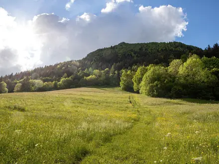
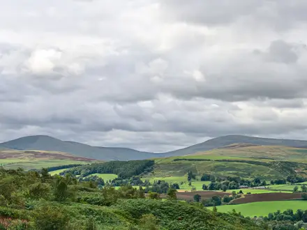
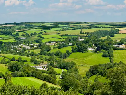
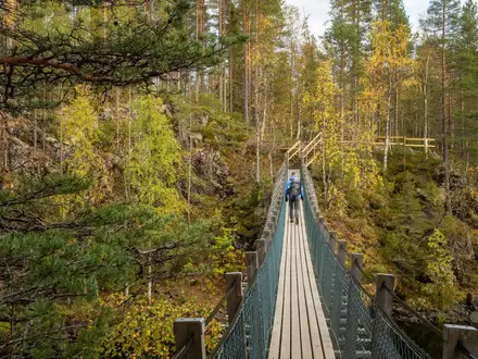
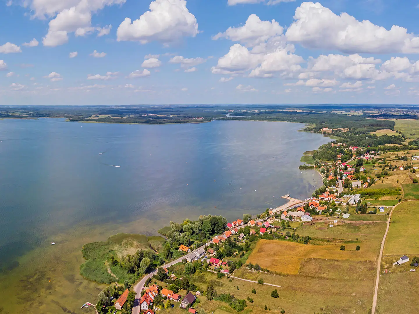
The Śniardwy Lake Trail is a signed loop around Lake Śniardwy in Mazury, north-east Poland. The standard circuit is about 85 km, usually walked in 3 days from Mikołajki, though it is also promoted as a walking-and-cycling route and often ridden in a day. The terrain is flat to gently undulating, but the hiking effort is moderate because days are long, shade can be limited and waymarking is uneven. It suits walkers who like lakes, forest tracks and quiet lowland mileage.
Route Overview
The usual start and finish is Mikołajki, the main resort town on Lake Śniardwy, not Nowe Guty. Clockwise, the official circuit runs via Kulinowo, Iznota, Popielno, Warnowo, Wejsuny, Niedźwiedzi Róg, Karwik, the Wyszka Canal bridge, Nowe Guty, Okartowo, Suchy Róg, Dziubiele and Łuknajno before returning to Mikołajki. It is a loop, but navigation is best treated as GPS/GPX-led rather than relying on constant paint marks. A shorter variant uses the Pisz–Wierzba ferry, which is seasonal and paid; the longer non-ferry option is the year-round line. For another bike-friendly Polish long route, compare the Green Velo Trail.
Glacial Lake, Prussian Past
Śniardwy was formed by the retreating Scandinavian ice sheet and meltwater at the end of the last glaciation. The wider Mazury region later formed part of Ducal and East Prussia, and was predominantly German-speaking until the mid-20th century before becoming part of Poland after 1945. That German-Prussian history still shows in some place-names and architecture. Mikołajki grew from a fishing settlement into a sailing and resort town, and is now the main water-sports base on the lake.
Notable highlights
- Mikołajki: The natural start and finish, branded the “sailing capital of Poland”. It has harbours, guesthouses, restaurants and the easiest services on the circuit.
- Łuknajno Lake nature reserve: A shallow lake reserve east of Mikołajki, connected to Śniardwy by a channel. It is a UNESCO Biosphere Reserve and Ramsar site, known for mute swans and an observation tower over reedbeds.
- Popielno: A peninsula research station bordered by Śniardwy and neighbouring lakes. Free-roaming Polish Konik horses have been bred here in the forest, alongside other wildlife including European bison, red deer and beavers.
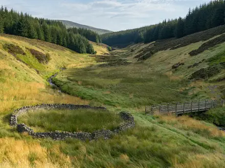
- Pisz Forest / Puszcza Piska: One of Poland’s largest forests, crossed by the western and southern parts of the route. Expect pine woodland, quiet tracks and fewer lake-resort facilities.
- “Masurian Sea” views: Śniardwy is so broad that the opposite shore can disappear in haze. Long open-water views are one of the main reasons to walk the full loop.
Challenges to expect
The trail is not mountainous, but it is not a short lakeside stroll. Expect long walking days of about 28 km, mixed gravel, unsurfaced lanes, field and forest tracks, and mud after rain. Waymarking is uneven, so carry GPX navigation. There are no mountain huts; plan guesthouses, campsites or informal lakeside camping. The ferry variant is seasonal and costs extra. For more lowland forest hiking, see the Białowieża Forest Trails or Drawa National Park Trail.
HikeList Score
Śniardwy Lake Trail scored 85/100 on HikeList's trail-quality metrics.
See score breakdownHide breakdown
- Ideal length 70
- Balanced challenge 90
- Scenery & wildness 78
- Varied terrain 100
- Accommodation 92
- Food & support 88
- Path quality 84
- Season flexibility 89
Computed from length, challenge, scenery & wildness, terrain variety, accommodation, food & support, path quality and season flexibility.
Show more data Show less
- Forest
- Lakeshore
- Farmland
- Wetland
- Gravel
- Dirt
- Paved
- Cobble
- Guesthouses
- Hotels
- Campsites
- Wild Camping Spots
- Family Friendly
- Pet Friendly
- Restrooms
- Water Sources
- Campsites
- Picnic Areas
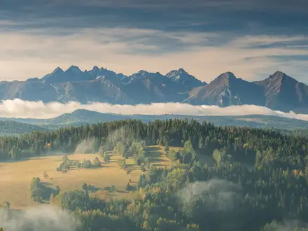
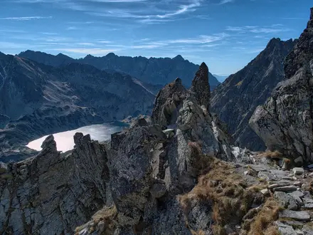
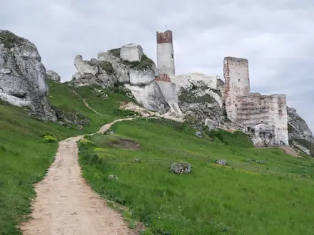
Photos from hikers
Taken on the trail by people who've reviewed Śniardwy Lake Trail.
Reviews
How would you rate Śniardwy Lake Trail?
Tap a star to start your review — you could be the first.