Imbros Gorge Trail
How would you rate Imbros Gorge Trail?
Tap a star to share your experience and help other hikers.
Imbros Gorge Trail: 8 km Crete Gorge Hike
HikeList Score
Imbros Gorge Trail scored 76/100 on HikeList's trail-quality metrics.
See score breakdownHide breakdown
- Ideal length 55
- Balanced challenge 100
- Scenery & wildness 98
- Varied terrain 64
- Accommodation 57
- Food & support 74
- Path quality 71
- Season flexibility 76
Computed from length, challenge, scenery & wildness, terrain variety, accommodation, food & support, path quality and season flexibility.
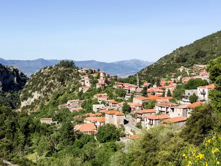
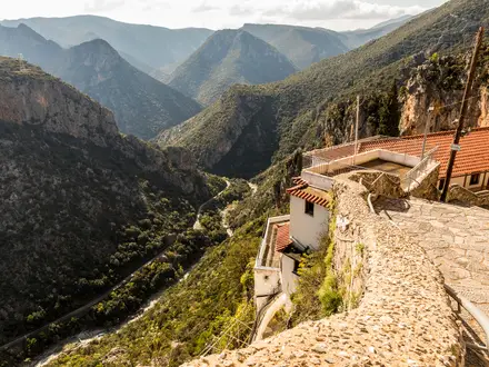
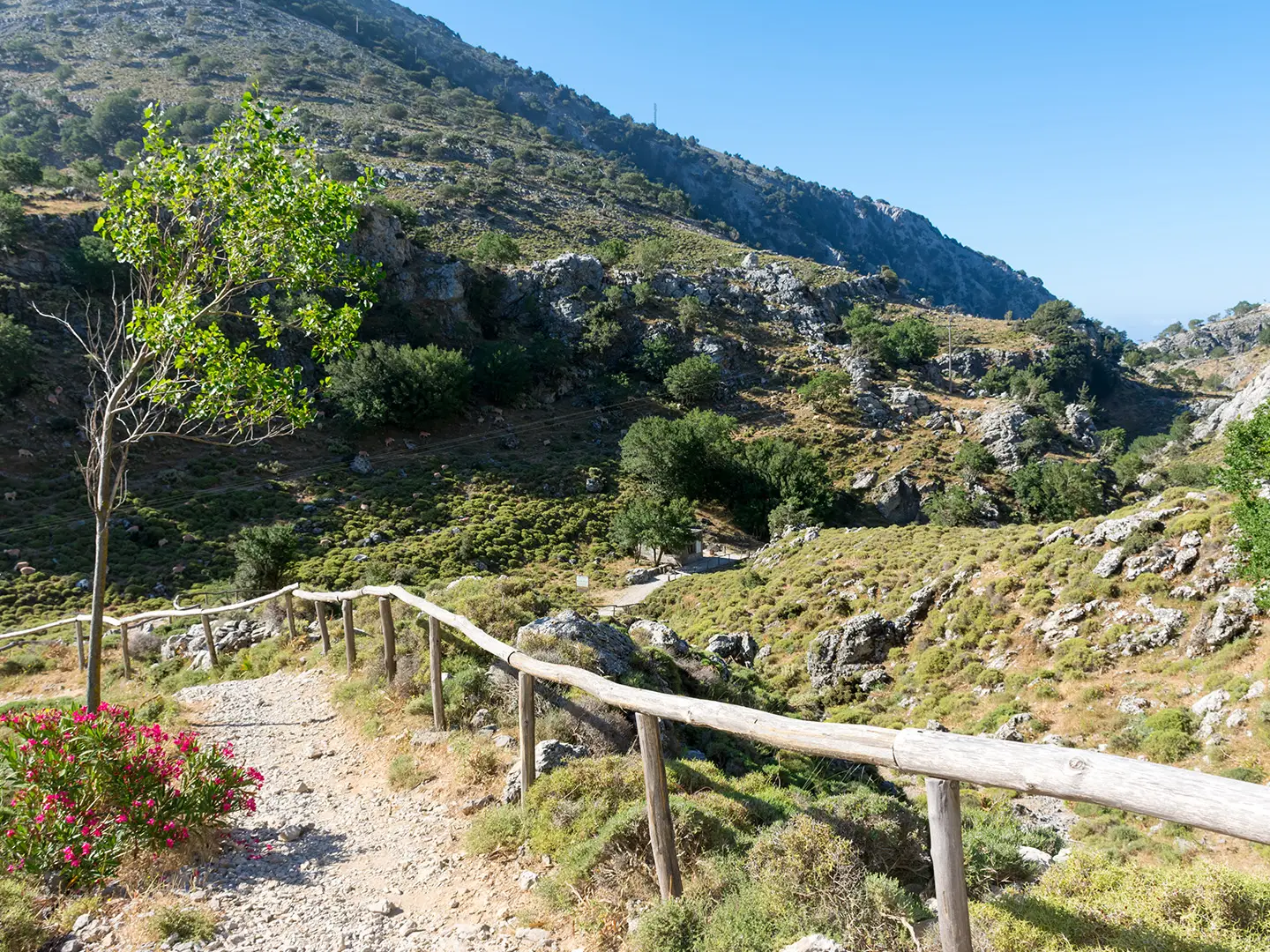
The Imbros Gorge Trail is an 8 km point-to-point day hike in Sfakia, southern Chania, Crete, Greece. It runs downhill from Imbros village to Komitades, dropping from about 780 m to 300 m, and usually takes around 2.5 hours of walking. The route is easy to moderate: a stony, dry creek-bed path with no technical sections, but loose rock underfoot. It suits families and reasonably fit walkers who want a shorter, quieter gorge walk east of Samaria Gorge.
Route Overview
Almost everyone walks Imbros Gorge north to south, starting at Imbros village and finishing at Komitades. The trail follows the dry gorge floor through shaded sections of cypress, holm oak, plane trees, pine and oleander, with surviving stretches of old stone-paved mule track. Key points include Mesofarango and its old cistern, the tight Stenada narrows, and the Xepitira stone arch reached roughly 90 minutes into the descent on the right-hand side. It is not a loop: from Komitades or nearby Chora Sfakion you need a local bus, taxi, organised shuttle, or a return walk uphill. For another Sfakia gorge, compare the Aradena Gorge Trail; for longer Cretan walking, see the E4 Trail (Crete Section).
Imbros Gorge History: Mule Track and WWII Retreat Route
Imbros Gorge was an ancient mule track and, before the modern road, the only link between Chania and Chora Sfakion. In late May 1941, after the Battle of Crete, thousands of Allied Commonwealth troops retreated down the gorge towards Chora Sfakion for Royal Navy evacuation to Egypt. A wartime German plane crash site is marked within the gorge, with debris displayed at the war museum in Askyfou. The wider Sfakia region also saw fighting during the 19th-century revolts against Ottoman rule.
Notable highlights
- Stenada, the narrows: The signature pinch point of Imbros Gorge, where the passage closes to about 1.6 m wide and walls rise up to around 300 m overhead. It is the most dramatic and photographed section of the walk.
- Xepitira stone arch: A natural rock arch bridging the gorge, reached roughly 90 minutes into the descent on the right-hand side. It is a useful landmark around two-thirds of the way down.
- WWII evacuation route: The trail follows the same line used by thousands of retreating Allied soldiers after the Battle of Crete in 1941. This gives the short hike a strong historical dimension.
- Shaded ancient mule track: Surviving stone-paved sections show the old route that once linked Chania and Sfakia. Tree cover from plane, cypress and holm oak helps keep parts of the gorge cool.
- Mesofarango / Venetian cistern: A wider resting place partway down the gorge with an old water cistern. It works well as a natural midpoint pause before the lower canyon sections.
Challenges to expect
The main challenge is footing, not exposure or steepness. Expect loose stones, worn rock and dry creek-bed walking for much of the 8 km descent. There is no flowing stream and no overnight option in the gorge, so carry water and finish before arranging onward transport. Avoid the route in heavy rain or snow: winter rain can create flash-flood risk and closures. For a coastal extension idea in the region, see Agios Pavlos to Agia Roumeli.
HikeList Score
Imbros Gorge Trail scored 76/100 on HikeList's trail-quality metrics.
See score breakdownHide breakdown
- Ideal length 55
- Balanced challenge 100
- Scenery & wildness 98
- Varied terrain 64
- Accommodation 57
- Food & support 74
- Path quality 71
- Season flexibility 76
Computed from length, challenge, scenery & wildness, terrain variety, accommodation, food & support, path quality and season flexibility.
 Greece
Show more data Show less
- Gorge
- Woodland
- Rocky
- Paved
- Hotels
- Family Friendly
- Pet Friendly
- Restrooms
- Water Sources
Photos from hikers
Taken on the trail by people who've reviewed Imbros Gorge Trail.
Reviews
How would you rate Imbros Gorge Trail?
Tap a star to start your review — you could be the first.