Monte Amiata Trails
How would you rate Monte Amiata Trails?
Tap a star to share your experience and help other hikers.
Monte Amiata Trails: Summit Loop Hiking Guide
HikeList Score
Monte Amiata Trails scored 82/100 on HikeList's trail-quality metrics.
See score breakdownHide breakdown
- Ideal length 55
- Balanced challenge 100
- Scenery & wildness 98
- Varied terrain 71
- Accommodation 75
- Food & support 88
- Path quality 80
- Season flexibility 89
Computed from length, challenge, scenery & wildness, terrain variety, accommodation, food & support, path quality and season flexibility.
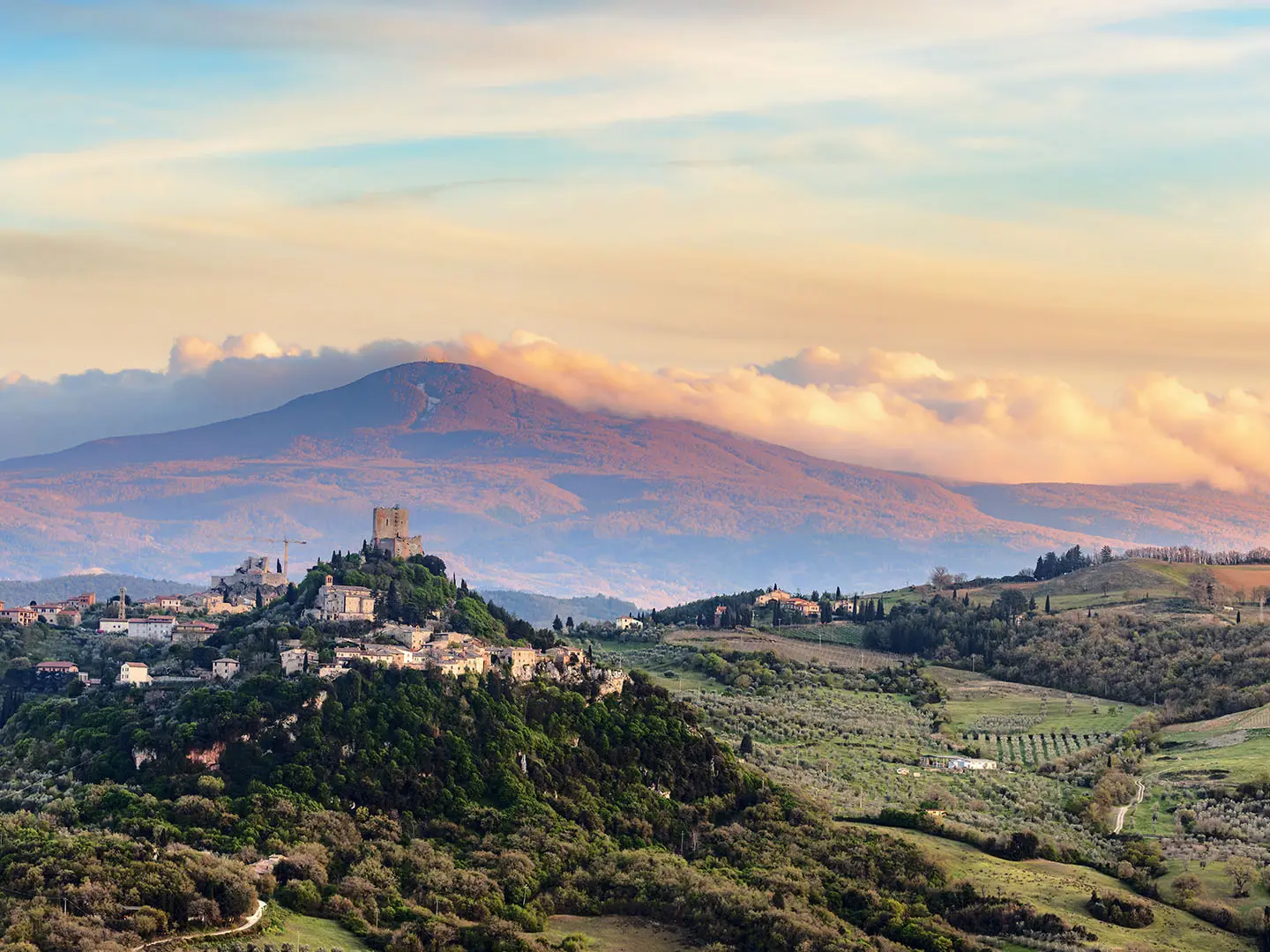
Monte Amiata Trails are a waymarked hiking network on Monte Amiata, an extinct volcano and the highest peak in southern Tuscany at 1,738 m. The main hike is a moderate ~8 km summit loop from Prato delle Macinaie, usually walked in about 3–3.5 hours, so plan it as a half-day or 1-day outing. Expect shaded beech forest, short asphalt or paved mule-track sections, ski-piste tracks and rocky trachyte near the top. It suits hikers wanting a compact Tuscan mountain walk rather than a long thru-hike in Italy.
Route Overview
The flagship loop starts and finishes at Prato delle Macinaie, the main recreation and ski area on Monte Amiata. The signed route heads via Rifugio Cantore to the summit cross and rocky top, then returns by Prato della Contessa to complete the ring. It is a loop, not a point-to-point trail, and the longer Anello dell’Amiata is a separate 27–32 km circumnavigation at lower altitude with access from villages including Abbadia San Salvatore, Castel del Piano, Arcidosso, Vivo d’Orcia, Santa Fiora, Seggiano and Piancastagnaio. For lower Tuscan walking, compare the Crete Senesi Loop or Chianti Trail; for coastal Italy, see the Cinque Terre Coastal Trail.
Summit Cross and Amiata Mining Heritage
Monte Amiata’s summit is marked by a 22 m wrought-iron cross commissioned under Pope Leo XIII for the Holy Year of 1900. The iron was hauled up by mule, the cross was inaugurated in 1910, destroyed by German bombing in 1944 and rebuilt in 1946. The mountain also has major mercury-mining history: cinnabar deposits were worked from the 1870s until around 1980, with earlier Etruscan-era use, and mining museums remain at Abbadia San Salvatore and Santa Fiora.
Notable highlights
Monte Amiata summit and cross (1,738 m): The highest point in southern Tuscany is crowned by a 22 m iron cross, with a bar-restaurant and panoramic terrace just below the rocky top.
European beech forest, or faggeta: The upper slopes are covered in one of Europe’s largest beech forests, giving cool shade in summer and strong autumn colour.
Volcanic rock summit ridge: The final crest is formed from large trachytic rock masses from the extinct lava dome that built Monte Amiata.
Rifugio Cantore and Prato delle Macinaie: Prato delle Macinaie is the main trailhead, while Rifugio Cantore and other refuges give useful food and shelter options on or near the route.
Giardino di Daniel Spoerri: This contemporary sculpture garden near Seggiano is a worthwhile nearby attraction on the lower slopes, but it is not on the summit loop.
Surrounding medieval villages: Abbadia San Salvatore, Castel del Piano and Arcidosso ring the mountain and make practical bases with historic centres and local food.
Challenges to expect
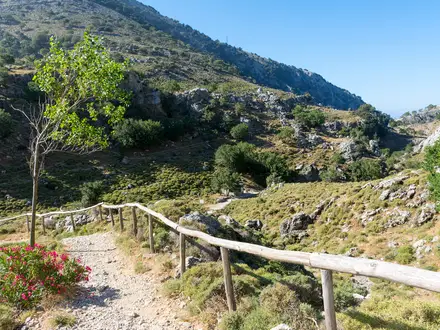
The summit loop is moderate mainly because of the short steep section to the top and the rough volcanic rock near the summit. Navigation is generally helped by CAI red-and-white waymarks, but remember this is a network of paths, so junctions matter. Winter can bring snow and ski-area conditions; in other seasons, expect a mix of dirt forest trail, paved mule track, short asphalt and open ski-piste tracks.
HikeList Score
Monte Amiata Trails scored 82/100 on HikeList's trail-quality metrics.
See score breakdownHide breakdown
- Ideal length 55
- Balanced challenge 100
- Scenery & wildness 98
- Varied terrain 71
- Accommodation 75
- Food & support 88
- Path quality 80
- Season flexibility 89
Computed from length, challenge, scenery & wildness, terrain variety, accommodation, food & support, path quality and season flexibility.
 Italy
ItalyShow more data Show less
- Mountainous
- Forest
- Dirt
- Rocky
- Paved
- Huts
- Hotels
- Agriturismi
- Family Friendly
- Pet Friendly
- Restrooms
- Water Sources
- Campsites
- Shelters
- Picnic Areas
Photos from hikers
Taken on the trail by people who've reviewed Monte Amiata Trails.
Reviews
How would you rate Monte Amiata Trails?
Tap a star to start your review — you could be the first.