Parnon Mountains Traverse
How would you rate Parnon Mountains Traverse?
Tap a star to share your experience and help other hikers.
Parnon Mountains Traverse: A Practical Hiking Guide
HikeList Score
Parnon Mountains Traverse scored 80/100 on HikeList's trail-quality metrics.
See score breakdownHide breakdown
- Ideal length 70
- Balanced challenge 80
- Scenery & wildness 98
- Varied terrain 64
- Accommodation 66
- Food & support 81
- Path quality 98
- Season flexibility 76
Computed from length, challenge, scenery & wildness, terrain variety, accommodation, food & support, path quality and season flexibility.
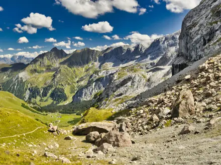
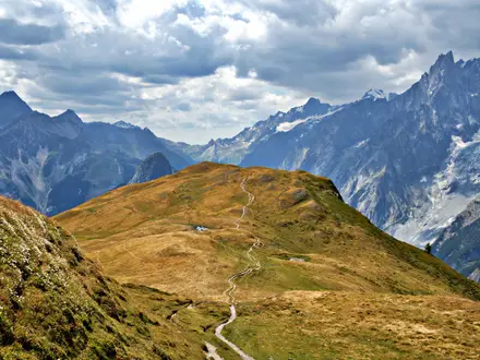
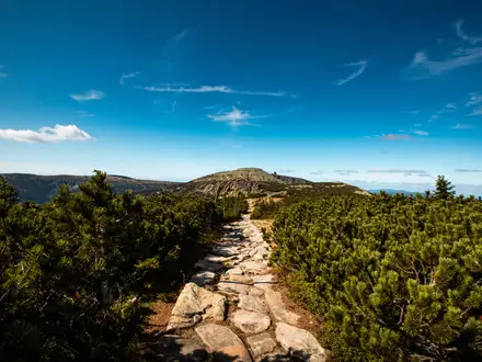
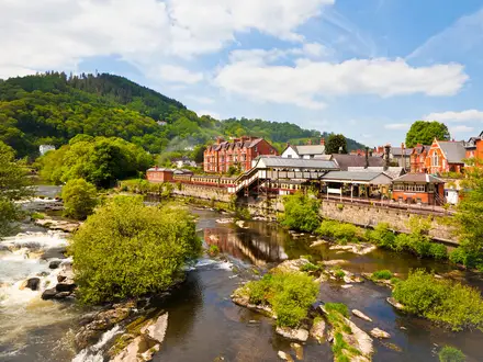
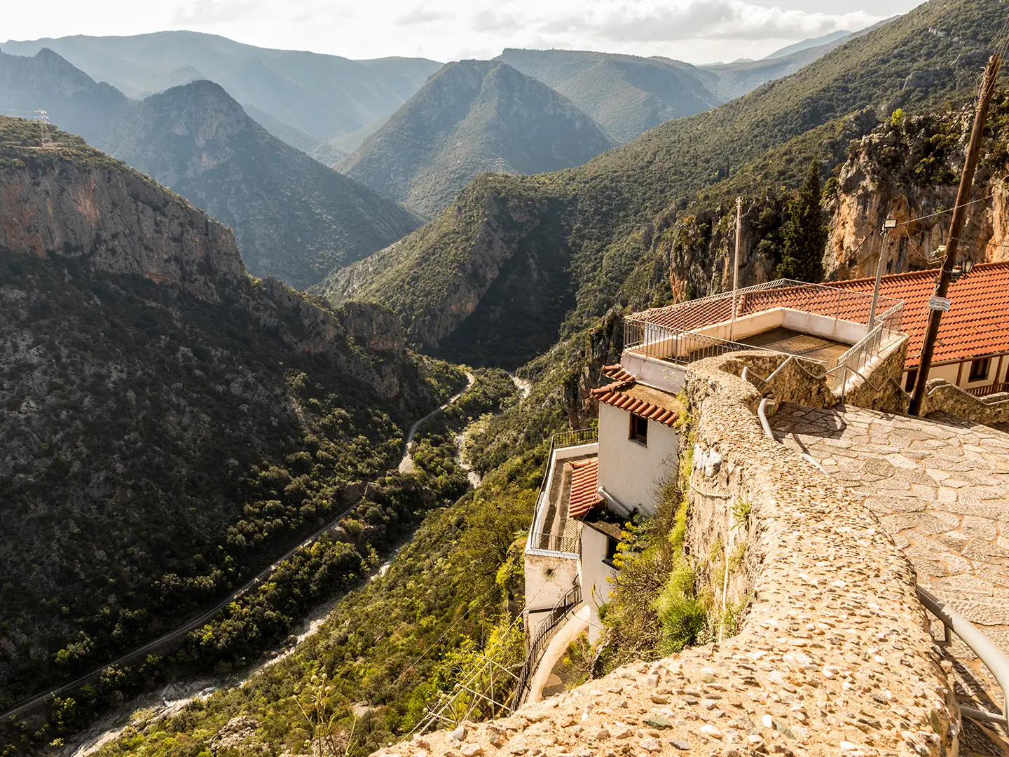
The Parnon Mountains Traverse is an approximately 45 km, 3-day hard point-to-point walk across the Parnon / Parnonas range in the eastern Peloponnese, Greece. It suits experienced hikers who are comfortable with long climbs, rocky paths, old cobbled kalderimia, forest tracks and imperfect waymarking. Rather than one fixed official trail, this is a realistic village-to-village traverse using the Parnon Trail network, E4 and O33 corridors through fir forest, chestnut groves, gorges and high subalpine ground.
Route Overview
There is no single official start and finish for a “Parnon Mountains Traverse”. A practical north–south line can start around Ano Doliana, Sitaina or Kastanitsa, continue via Prastos and Kosmas, and finish at Leonidio on the Myrtoan coast. The wider Parnon Trail network links Astros, Agios Ioannis, Platanos, Sitaina, Kastanitsa, Prastos, Agios Vasileios, Kosmas and Leonidio, with northern extensions to Ano Doliana. The range is also crossed by the E4 Greek section and Greek National Trail O33, and connects into the wider network that includes the E6 Greek section. This is a point-to-point mountain walk, so arrange transport back from the finish rather than expecting a loop. For a comparably remote, untracked Greek range, compare the Agrafa Mountains Circuit.
Parnon history and Tsakonian mountain paths
Parnon has long formed a natural divide between Laconia and Arcadia. Its mule paths and stone-paved kalderimia carried shepherds, chestnuts and traders between the Laconian interior and the Kynouria coast. The eastern slopes are Tsakonian country, with Prastos as the historic capital and Leonidio as the modern coastal centre. Monastic sites such as Panagia Elona, founded around 1300 AD, reflect the mountain’s religious history. The massif was designated a UNESCO Biosphere Reserve in 2025.
Notable highlights
- Megali Tourla / Kronion, 1,935 m: The highest summit of the Parnon range and an optional natural high point for fuller traverses. The final approach leaves fir forest for open subalpine grassland.
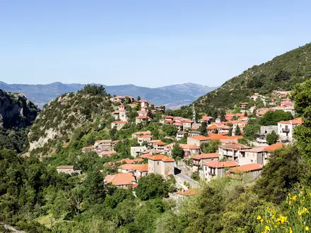
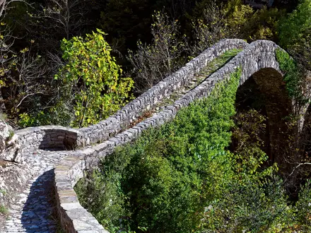
- Kastanitsa and the Kastanitsa–Prastos kalderimi: Kastanitsa is a chestnut-growing stone village with grey slate roofs. The cobbled mule path to Prastos is regarded as one of Parnon’s finest walking sections.
- Malevi monastery and Juniperus drupacea forest: Panagia Malevi sits amid a protected stand of Grecian / Syrian juniper, a rare relict forest and Natural Monument.
- Panagia Elona monastery: A whitewashed cliff monastery built into the red rock of Parnon at about 650 m, roughly between Kosmas and Leonidio.
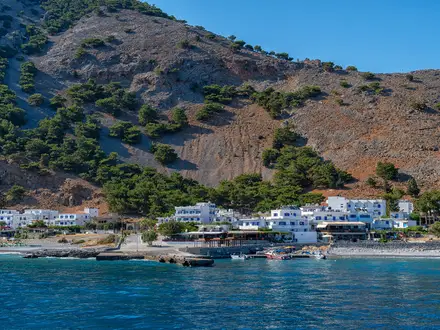
- Leonidio and its red crags: The coastal finish for many north–south traverses, known for Tsakonian culture and dramatic limestone cliffs above the Myrtoan Sea.
- Parnon UNESCO Biosphere Reserve: The limestone massif supports fir and black-pine forest, chestnut groves and rare plant life.
Challenges to expect
Expect hard mountain walking rather than a manicured trail: long ascents and descents, rocky mule paths, dirt tracks, gorge terrain and exposed high sections. Waymarking exists but is inconsistent on remote stretches, so carry GPS and mapping. Spring and autumn are the best windows; summer brings heat, exposure and limited water at lower levels, while winter snow can lie on the tops.
HikeList Score
Parnon Mountains Traverse scored 80/100 on HikeList's trail-quality metrics.
See score breakdownHide breakdown
- Ideal length 70
- Balanced challenge 80
- Scenery & wildness 98
- Varied terrain 64
- Accommodation 66
- Food & support 81
- Path quality 98
- Season flexibility 76
Computed from length, challenge, scenery & wildness, terrain variety, accommodation, food & support, path quality and season flexibility.
 Greece
Show more data Show less
- Mountainous
- Forest
- Rocky
- Dirt
- Guesthouses
- Huts
- Pet Friendly
- Water Sources
- Campsites
- Shelters
In these collections
Photos from hikers
Taken on the trail by people who've reviewed Parnon Mountains Traverse.
Reviews
How would you rate Parnon Mountains Traverse?
Tap a star to start your review — you could be the first.