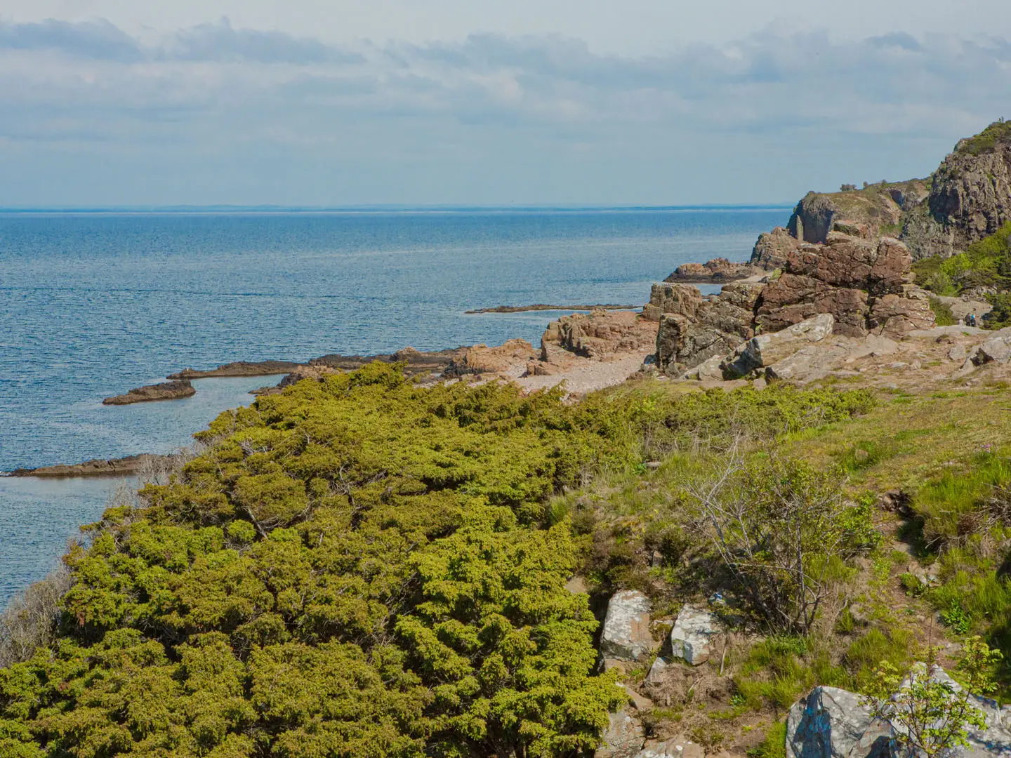
Hallandsleden
How would you rate Hallandsleden?
Tap a star to share your experience and help other hikers.
Hallandsleden: A Complete Hiking Guide
HikeList Score
Hallandsleden scored 83/100 on HikeList's trail-quality metrics.
See score breakdownHide breakdown
- Ideal length 73
- Balanced challenge 90
- Scenery & wildness 69
- Varied terrain 100
- Accommodation 92
- Food & support 88
- Path quality 81
- Season flexibility 89
Computed from length, challenge, scenery & wildness, terrain variety, accommodation, food & support, path quality and season flexibility.
Hallandsleden is a 453 km waymarked inland trail through Halland in southwest Sweden, usually walked in about 21 days. It is a moderate point-to-point hike: long overall distance, but low-altitude terrain, good paths, forest roads and no technical sections. The route suits backpackers who want forests, lakes, heathland, farmland and simple camp logistics rather than mountains. In the north it connects with the Bohusleden, making it part of a longer west-coast walking chain.
Route Overview
Hallandsleden runs roughly north-south from Lake Blavattnerna in northern Halland, south of Gothenburg, to the south of the province near the Skane border north of Angelholm, where it links with the Skaneleden. It is a point-to-point trail with a middle section that splits into eastern and western variants around Gyltige/Simlangsgarden, north of Simlangsdalen, then rejoins in the Akulla beech-forest district east of Varberg. Key places on or near the route include Varberg, Falkenberg, Halmstad and Simlangsdalen. Transport details are not verified in the brief, so check current local access for trailheads and towns before fixing an itinerary.
Old Travel Ways Through Inland Halland
Hallandsleden follows parts of a historic inland corridor through Halland, using old paths and travel ways with cultural traces along the route. Hikers pass ancient monuments, historic buildings and interpretive signs that connect the walk to older movement through the region. The trail has long been Halland’s principal long-distance walking route. It is also being expanded with a coastal section, due for completion around 2026-2027, but the established inland route remains the 453 km classic described here.
Notable highlights
- Akulla beech forests: Old beech woodland and clear lakes east of Varberg, where the eastern and western branches reunite. It is one of the most scenic nature-reserve areas on the trail.
- Danska Fall: A dramatic waterfall on the Fyllean river near Simlangsdalen. It is a well-known beauty spot on the southern part of Hallandsleden.
- Grimeton Radio Station: The early-20th-century Varberg Radio Station at Grimeton is a UNESCO World Heritage Site close to the route near Varberg, known for its giant antenna masts.
- Virsehatt: A nature reserve with a viewpoint hill over the Fylleadalen, on the southern stages around Halmstad. It adds a rare elevated view on an otherwise lowland trail.
- Masstocka heathland: An open heath nature reserve in the south, giving a strong contrast to the forested sections.
- Cultural heritage: The route threads old travel paths past ancient monuments and historic buildings, with many features signed for walkers.
Challenges to expect
The main challenge is distance, not altitude: 453 km of steady walking with many long days. Surfaces vary between forest paths, forest roads, village roads and short asphalt sections, so footwear needs to handle mixed ground. Waymarking is established with orange marks and blue signs, but forest junctions still require attention. Resupply spacing is not verified stage by stage, so plan food carefully between towns and accommodation points.
HikeList Score
Hallandsleden scored 83/100 on HikeList's trail-quality metrics.
See score breakdownHide breakdown
- Ideal length 73
- Balanced challenge 90
- Scenery & wildness 69
- Varied terrain 100
- Accommodation 92
- Food & support 88
- Path quality 81
- Season flexibility 89
Computed from length, challenge, scenery & wildness, terrain variety, accommodation, food & support, path quality and season flexibility.
 Sweden
Show more data Show less
- Lowland
- Forest
- Beech Forest
- Heathland
- Lakes
- Pasture
- Farmland
- Forest Paths
- Forest Roads
- Village Roads
- Country Roads
- Asphalt
- Shelters
- Campsites
- Wild Camping Spots
- Inns
- Guesthouses
- Family Friendly
- Pet Friendly
- Water Sources
- Campsites
- Shelters
- Picnic Areas
Photos from hikers
Taken on the trail by people who've reviewed Hallandsleden.
Reviews
How would you rate Hallandsleden?
Tap a star to start your review — you could be the first.