Macmillan Way
How would you rate Macmillan Way?
Tap a star to share your experience and help other hikers.
Macmillan Way: Coast-to-Coast for Cancer Care
HikeList Score
Macmillan Way scored 85/100 on HikeList's trail-quality metrics.
See score breakdownHide breakdown
- Ideal length 72
- Balanced challenge 100
- Scenery & wildness 59
- Varied terrain 100
- Accommodation 100
- Food & support 94
- Path quality 84
- Season flexibility 89
Computed from length, challenge, scenery & wildness, terrain variety, accommodation, food & support, path quality and season flexibility.
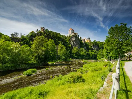
The Macmillan Way is a 467 km fully waymarked point-to-point walk across England, from Boston in Lincolnshire to Abbotsbury on the Dorset coast. Allow 16-28 days. It is moderate: technically gentle, with no mountains, but long, exposed in places, and around 6,900 m of cumulative ascent. It suits fit long-distance walkers who want a lowland coast-to-coast through fens, limestone farmland, Cotswold towns, river valleys and the Somerset Levels.
Route Overview
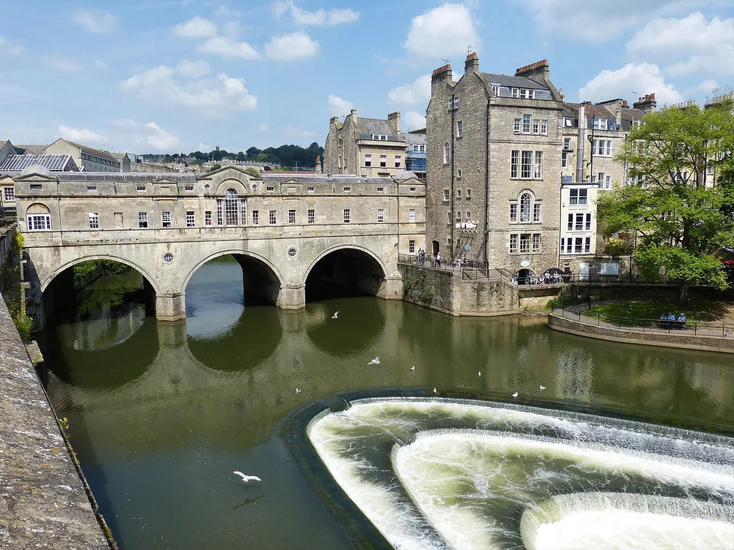
The conventional direction is north-east to south-west: start beside the tidal Haven in Boston, near St Botolph’s Church, and finish at Abbotsbury, where the route meets the South West Coast Path. Key places in order include the Lincolnshire Fens, Stamford, Rutland Water, Oakham, Warmington, Stow-on-the-Wold, Cirencester, Tetbury, Thames Head, Bradford-on-Avon, Castle Cary and Sherborne. The route links with the Viking Way at Oakham and the Thames Path near Thames Head. For broader planning, see long-distance hiking in England. If comparing other listed routes, also see Ashby Canal Trail and Amber Valley Route.
Why the Macmillan Way Was Created
The Macmillan Way was devised in the mid-1990s by Peter and Janet Titchmarsh, who researched the route by walking and re-walking it. It was created specifically to raise money for Macmillan Cancer Relief, now Macmillan Cancer Support, and is sometimes subtitled the “Coast to Coast for Cancer Care”. The name refers to the charity, not Harold Macmillan. Official guidebook proceeds are donated to the charity.
Notable highlights
Boston Stump, Boston: The walk starts near St Botolph’s Church, known as the Boston Stump. Its tall medieval tower is a landmark across the flat Lincolnshire Fens.
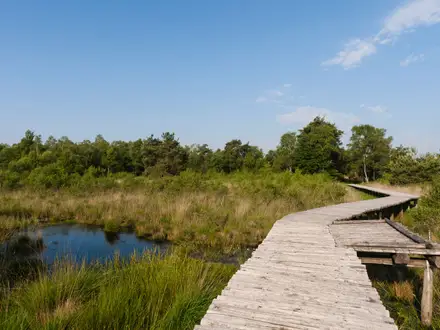
Lincolnshire Fens: The first roughly 30 miles cross open reclaimed fen along sea banks, river banks and drainage channels. Expect big skies, exposure and a very different character from the rolling limestone country later on.
Stamford and Rutland Water: The route passes Stamford, a stone-built Georgian market town, then follows the shore of Rutland Water towards Oakham, where it links with the Viking Way.
The Cotswolds: The central section threads Cotswold limestone country through Stow-on-the-Wold, Cirencester and Tetbury, reaching the route’s high point of about 243 m.
Thames Head: Near Cirencester, the path passes the traditional source of the River Thames and connects with the Thames Path National Trail.
Abbotsbury and the Dorset coast: The route finishes at Abbotsbury, a stone village near Chesil Beach, where it joins the South West Coast Path for a clear coast-to-coast ending.
Challenges to expect
The Macmillan Way is long rather than steep. The main difficulty is sustaining 467 km over multiple weeks, with about 6,900 m of cumulative ascent. Fen and Somerset Levels sections can be exposed, muddy or waterlogged after rain. Waymarking exists throughout but can be sparse, so carry OS maps or GPS. Accommodation is available in towns and villages, but stop spacing needs planning; wild camping is not generally permitted in England. For contrast, compare Beacons Way.
HikeList Score
Macmillan Way scored 85/100 on HikeList's trail-quality metrics.
See score breakdownHide breakdown
- Ideal length 72
- Balanced challenge 100
- Scenery & wildness 59
- Varied terrain 100
- Accommodation 100
- Food & support 94
- Path quality 84
- Season flexibility 89
Computed from length, challenge, scenery & wildness, terrain variety, accommodation, food & support, path quality and season flexibility.
 United Kingdom
 England
Show more data Show less
- Grassland
- Rural
- Wetlands
- Urban
- Dirt
- Grass
- Gravel
- Paved
- Guesthouses
- Hotels
- Campsites
- Hostels
- Family Friendly
- Dog Friendly On Leash
- Restrooms
- Potable Water Sources
- Established Campsites
- Picnic Areas
- Public Transport Access Points
Photos from hikers
Taken on the trail by people who've reviewed Macmillan Way.
Reviews
How would you rate Macmillan Way?
Tap a star to start your review — you could be the first.