GR7 (Southern Section)
How would you rate GR7 (Southern Section)?
Tap a star to share your experience and help other hikers.
GR7 (Southern Section): Andalucia’s Mountain Thru-Hike
HikeList Score
GR7 (Southern Section) scored 78/100 on HikeList's trail-quality metrics.
See score breakdownHide breakdown
- Ideal length 52
- Balanced challenge 80
- Scenery & wildness 98
- Varied terrain 83
- Accommodation 74
- Food & support 81
- Path quality 80
- Season flexibility 76
Computed from length, challenge, scenery & wildness, terrain variety, accommodation, food & support, path quality and season flexibility.
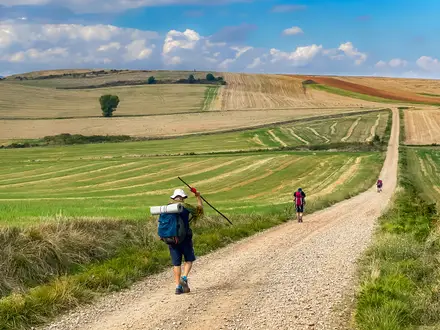
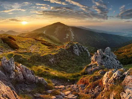
The GR7 Southern Section is a 770 km point-to-point hike across Andalucia in southern Spain, from Tarifa to Puebla de Don Fadrique via the Alpujarras. Allow 34-42 days. It is a hard, non-technical thru-hike: the challenge is the length, long daily stages, repeated ascent, variable waymarking and the high Puerto de la Ragua crossing in the Sierra Nevada. It suits fit hikers who want village-to-village walking through cork-oak forest, white villages, mountain passes and dry Altiplano country.
Route Overview
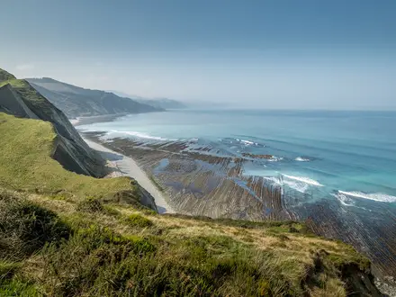
The route is usually walked south-to-north, starting in Tarifa on the Strait of Gibraltar and finishing at Puebla de Don Fadrique in north-east Granada province. The early stages are shared with the northern GR-7 variant through Los Alcornocales, Sierra de Grazalema, Ronda, El Chorro, Antequera and Villanueva de Cauche, where the GR-7 divides. The southern variant then runs through Riogordo, the Axarquia, Sierras de Tejeda, Almijara y Alhama, Alhama de Granada, the Lecrin Valley and the Alpujarras before crossing Puerto de la Ragua and continuing via Sierra de Baza, Zujar, Orce, Galera and Huescar. If you only want the Alpujarras section, see the Alpujarras Trail; for a contrasting Spanish coastal walk, compare the Camí de Ronda.
History of the GR-7 in Andalucia
The GR-7 was the first Spanish long-distance footpath, or Sendero de Gran Recorrido, to be waymarked, with work initiated in 1974. It also forms the south-westernmost part of the European long-distance path E4. In Andalucia, the route links Tarifa with Puebla de Don Fadrique using old mule tracks, drovers’ roads and camino-style paths between mountain villages. Near Antequera it splits: the northern variant heads through the Subbetica, Sierra de Magina and Cazorla, while this southern variant keeps south of the Sierra Nevada through the Alpujarras.
Notable highlights
- Tarifa: The trailhead at the southern tip of mainland Spain, where the Atlantic meets the Mediterranean and Africa is visible across the Strait of Gibraltar. It is a windswept town known for kitesurfing and bird migration.
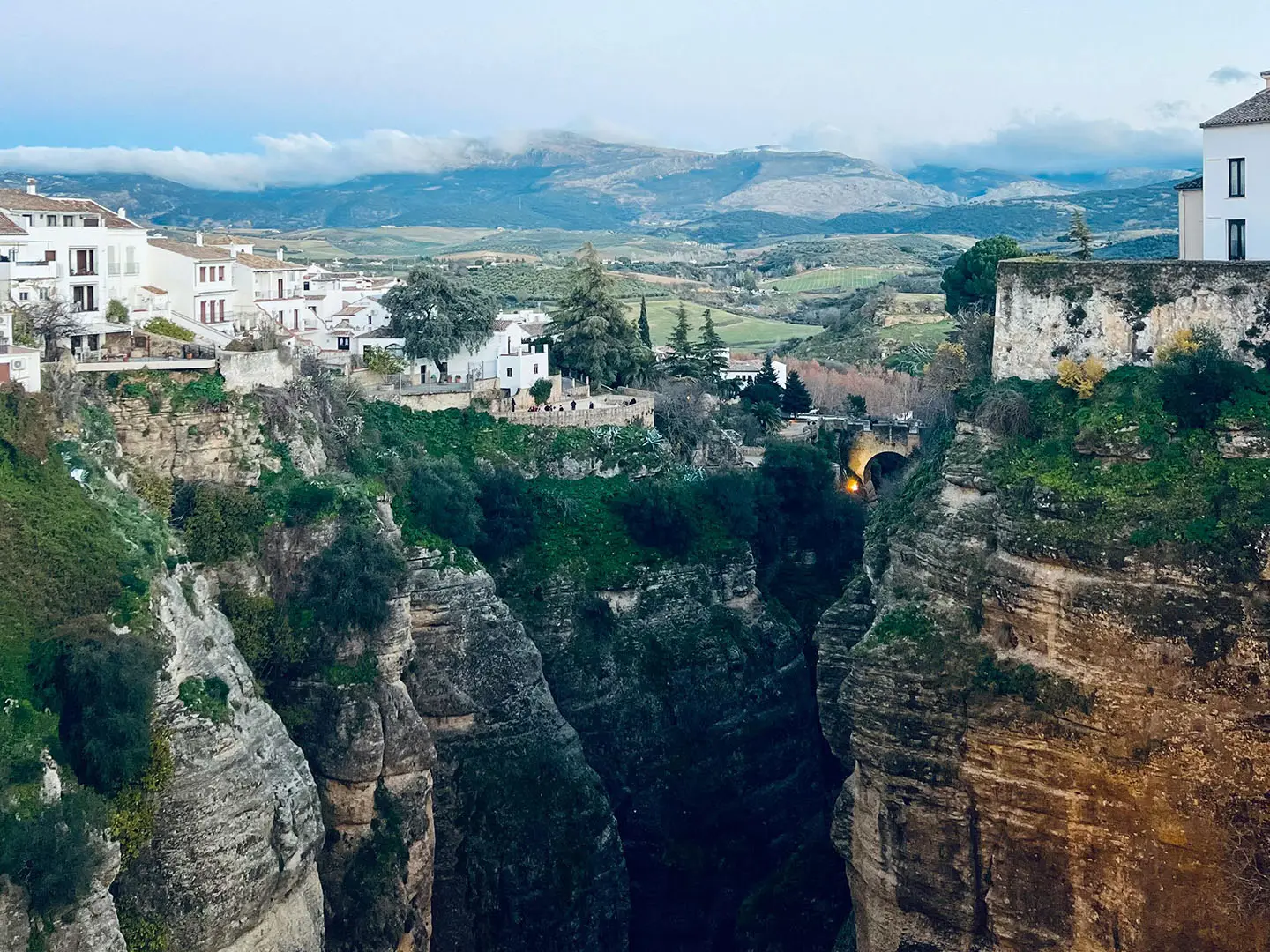
- Ronda: A cliff-top white town split by the El Tajo gorge and crossed by the Puente Nuevo bridge. It sits on the shared opening stages before the GR-7 variants divide.
- Sierra de Grazalema Natural Park: A limestone range of white villages including Grazalema, Villaluenga del Rosario and Ubrique. The route crosses cork-oak and pinsapo fir country here.
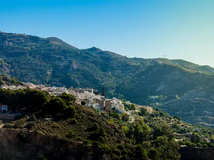
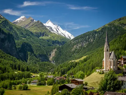
- The Alpujarras and Trevelez: The southern Sierra Nevada villages of Lanjaron, Pitres and Trevelez are a core part of the southern variant. Trevelez, at about 1,476 m, is the highest village in mainland Spain and is known for air-cured jamon.
- Puerto de la Ragua: The route’s high point, at about 2,040 m, crossing the eastern flank of the Sierra Nevada. It can hold heavy snow in winter.
- Sierra de Baza and the Granada Altiplano: After Sierra de Baza Natural Park, the GR-7 enters semi-desert and badland country around Zujar, Orce and Galera before the finish at Puebla de Don Fadrique.
Challenges to expect
Expect a hard, sustained walk rather than technical terrain. Cicerone notes long stages, some with around 1,000 m of ascent, and stages can range from 9-55 km. Waymarking is white-and-red GR paint but can be patchy, so carry detailed maps and a guidebook. High summer is very hot on lower inland sections; winter can bring heavy snow around Puerto de la Ragua. There is no commercial luggage-transfer service.
HikeList Score
GR7 (Southern Section) scored 78/100 on HikeList's trail-quality metrics.
See score breakdownHide breakdown
- Ideal length 52
- Balanced challenge 80
- Scenery & wildness 98
- Varied terrain 83
- Accommodation 74
- Food & support 81
- Path quality 80
- Season flexibility 76
Computed from length, challenge, scenery & wildness, terrain variety, accommodation, food & support, path quality and season flexibility.
Show more data Show less
- Mountain
- Forest
- Hills
- Dirt
- Gravel
- Paved
- Hotels
- Hostels
- Pet Friendly
- Water Sources
- Campsites
- Shelters
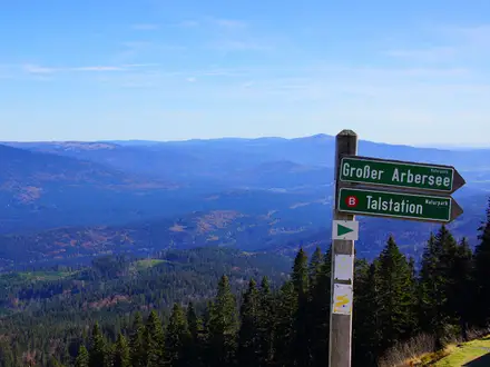
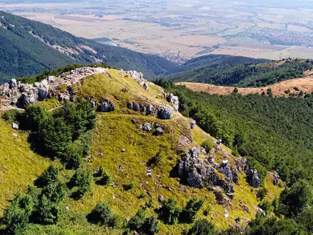
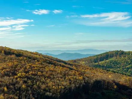
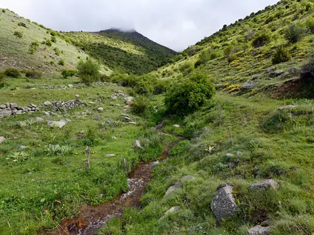
Photos from hikers
Taken on the trail by people who've reviewed GR7 (Southern Section).
Reviews
How would you rate GR7 (Southern Section)?
Tap a star to start your review — you could be the first.