GR5 (Grande Traversée des Alpes)
How would you rate GR5 (Grande Traversée des Alpes)?
Tap a star to share your experience and help other hikers.
GR5 (Grande Traversée des Alpes): Lake Geneva to the Mediterranean
HikeList Score
GR5 (Grande Traversée des Alpes) scored 75/100 on HikeList's trail-quality metrics.
See score breakdownHide breakdown
- Ideal length 56
- Balanced challenge 52
- Scenery & wildness 98
- Varied terrain 77
- Accommodation 92
- Food & support 61
- Path quality 98
- Season flexibility 63
Computed from length, challenge, scenery & wildness, terrain variety, accommodation, food & support, path quality and season flexibility.
The GR5 Grande Traversée des Alpes is a 620 km point-to-point thru-hike across the French Alps, usually walked north to south from Lake Geneva to the Mediterranean. Allow about 30 days. It is strenuous rather than technical: expect long mountain days, high cols, roughly 30,000 m of total ascent and sustained altitude, but no roped climbing. It suits fit hikers who want a hut-to-hut or gîte-to-gîte Alpine crossing through some of the best high mountain country in France.
Route Overview
Most hikers start at Thonon-les-Bains on Lake Geneva, though Saint-Gingolph is also used, then walk south through the Chablais, La Chapelle-d’Abondance, Samoëns, Les Houches and Les Contamines-Montjoie. The route crosses Vanoise National Park via places such as Col du Palet, Val-d’Isère, Pralognan-la-Vanoise and the Col de Chavière before reaching Modane and Briançon. It then continues through the Queyras, the Col de la Cayolle / Larche area and Mercantour National Park. The GR5 main line finishes at Nice; the popular GR52 variant finishes at Menton. For shorter French mountain routes, compare the Chartreuse Trail (GR9 Segment) or the Cirque de Gavarnie Trails.
How the Grande Traversée des Alpes became a classic
The Grande Traversée des Alpes was created at the beginning of the 1970s by the French walking movement, the Fédération Française de la Randonnée Pédestre, as a north-south crossing of the French Alps. It gave the classic “great Alpine traverse” its name and is now managed by the Grande Traversée des Alpes association in Grenoble. The route is the Alpine, southernmost section of the long GR5 from the Hook of Holland to Nice and also forms part of European long-distance path E2.
Notable highlights
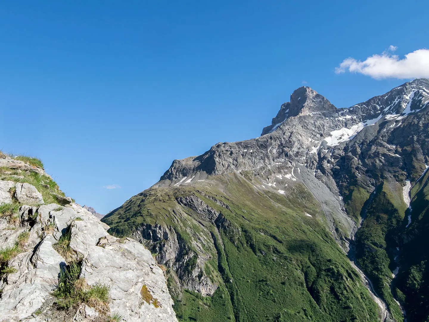
- Mont Blanc and the Chamonix valley: Around Les Houches and Les Contamines-Montjoie, the GR5 skirts Tour du Mont Blanc country with views towards Mont Blanc and the Chamonix valley.
- Vanoise National Park: France’s first national park, created in 1963, is a high glacial landscape where the GR5/GR55 cross passes including the Col du Palet and Col de Chavière.
- Col de Chavière (2,796 m): The high point of the route, near Modane and Pralognan-la-Vanoise, and the highest col crossed by any GR footpath in France.
- Briançon: One of Europe’s highest towns, with Vauban fortifications and a UNESCO-listed fortified old town; it is also a key resupply point.
- Queyras Regional Natural Park: A quieter southern massif of larch forest and high villages such as Ceillac, with a drier, more remote feel than the busier northern stages.
- Mercantour National Park: The wild southern finale near the Italian border; the GR52 variant crosses this area to reach Menton, with the Vallée des Merveilles nearby.
Challenges to expect
The difficulty is cumulative: roughly 30,000 m of ascent, frequent 6–8 hour days and often two passes in a day. Trails are mostly dirt, rocky mountain path and gravel, with lingering snow possible on high cols such as Col de Chavière and Col du Palet early in the season. Weather becomes less settled after mid-September, and refuge closures can affect late trips. Wild camping is tightly restricted in Vanoise and Mercantour National Parks.
HikeList Score
GR5 (Grande Traversée des Alpes) scored 75/100 on HikeList's trail-quality metrics.
See score breakdownHide breakdown
- Ideal length 56
- Balanced challenge 52
- Scenery & wildness 98
- Varied terrain 77
- Accommodation 92
- Food & support 61
- Path quality 98
- Season flexibility 63
Computed from length, challenge, scenery & wildness, terrain variety, accommodation, food & support, path quality and season flexibility.
Show more data Show less
- Mountainous
- Forest
- Dirt
- Rocky
- Gravel
- Snow
- Hotels
- Huts
- Campsites
- Hostels
- Wild Camping Spots
- Pet Friendly
In these collections
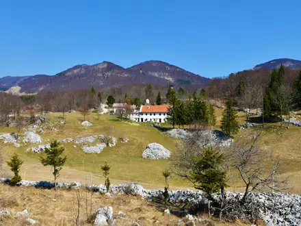
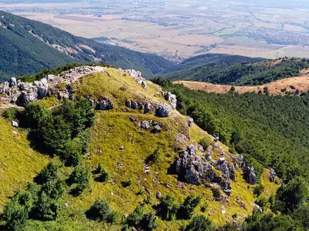
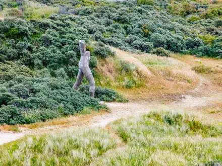
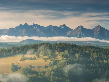
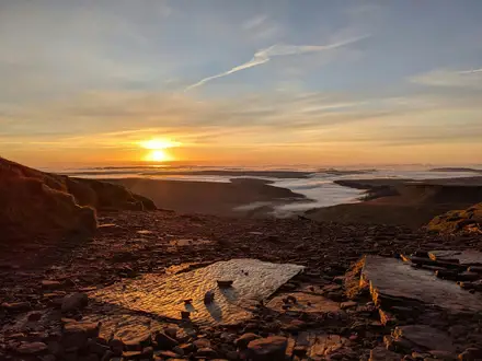
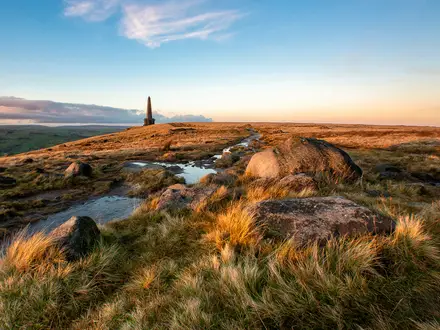
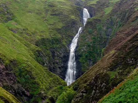
Photos from hikers
Taken on the trail by people who've reviewed GR5 (Grande Traversée des Alpes).
Reviews
How would you rate GR5 (Grande Traversée des Alpes)?
Tap a star to start your review — you could be the first.