GR46 (Lot Valley Trail)
How would you rate GR46 (Lot Valley Trail)?
Tap a star to share your experience and help other hikers.
GR46 Lot Valley Trail: Rocamadour to Saint-Projet
HikeList Score
GR46 (Lot Valley Trail) scored 84/100 on HikeList's trail-quality metrics.
See score breakdownHide breakdown
- Ideal length 96
- Balanced challenge 100
- Scenery & wildness 66
- Varied terrain 100
- Accommodation 67
- Food & support 72
- Path quality 92
- Season flexibility 89
Computed from length, challenge, scenery & wildness, terrain variety, accommodation, food & support, path quality and season flexibility.
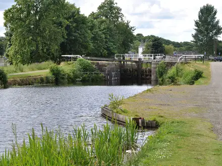
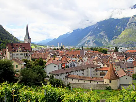
The GR46 Lot Valley Trail is the 106 km Rocamadour to Saint-Projet section of France’s GR46, crossing the Lot department, the Causses du Quercy and into Tarn-et-Garonne. It is a moderate, point-to-point walk taking 6 to 7 days, with 2,211 m of ascent and a highest point of about 446 m. Expect limestone causse plateaux, dry valleys, oak woodland, stone villages and riverside walking beside the Lot. It suits hikers wanting a waymarked French trail with culture, manageable daily stages and village accommodation. See more long-distance routes in France.
Route Overview
This section starts in Rocamadour (Lot) and heads south-west on the white-and-red GR46 to Saint-Projet (Tarn-et-Garonne). Key places in order include Labastide-Murat / Coeur de Causse, Saint-Gery-Vers, Bouzies, Saint-Cirq-Lapopie, Concots and Varaire. Cahors, with the Pont Valentre, sits on the wider GR46 line and is the main town and rail gateway for the section. The route is a point-to-point trail, mostly on footpaths and tracks with some minor roads and paved village sections. If you like river infrastructure, compare the carved Lot towpath near Bouzies with the flatter Canal du Midi Towpath; for a very different French mountain setting, see the Cirque de Gavarnie Trails.
GR46 history and pilgrimage links
The GR46 is part of the FFRandonnee network of long-distance Grande Randonnee paths. Through the Lot, it follows old routes across the Quercy causses and overlaps in places with the medieval Chemin de Saint-Jacques, the Way of St James pilgrimage route to Santiago de Compostela. The trail links towns and villages whose stone heritage dates from the Middle Ages, including Rocamadour, Saint-Cirq-Lapopie and Cahors. For another culture-led French walking itinerary, compare the Chateaux of the Loire Circuit.
Notable highlights
- Rocamadour: A medieval pilgrimage village built in tiers up a limestone cliff above the Alzou canyon. The 216-step staircase climbs to the sanctuary of the Black Madonna, a pilgrimage focus since the 12th century.
- Saint-Cirq-Lapopie: A clifftop village about 100 m above the Lot, around 30 km east of Cahors. It is classed among Les Plus Beaux Villages de France and is one of the route’s key overnight stops.
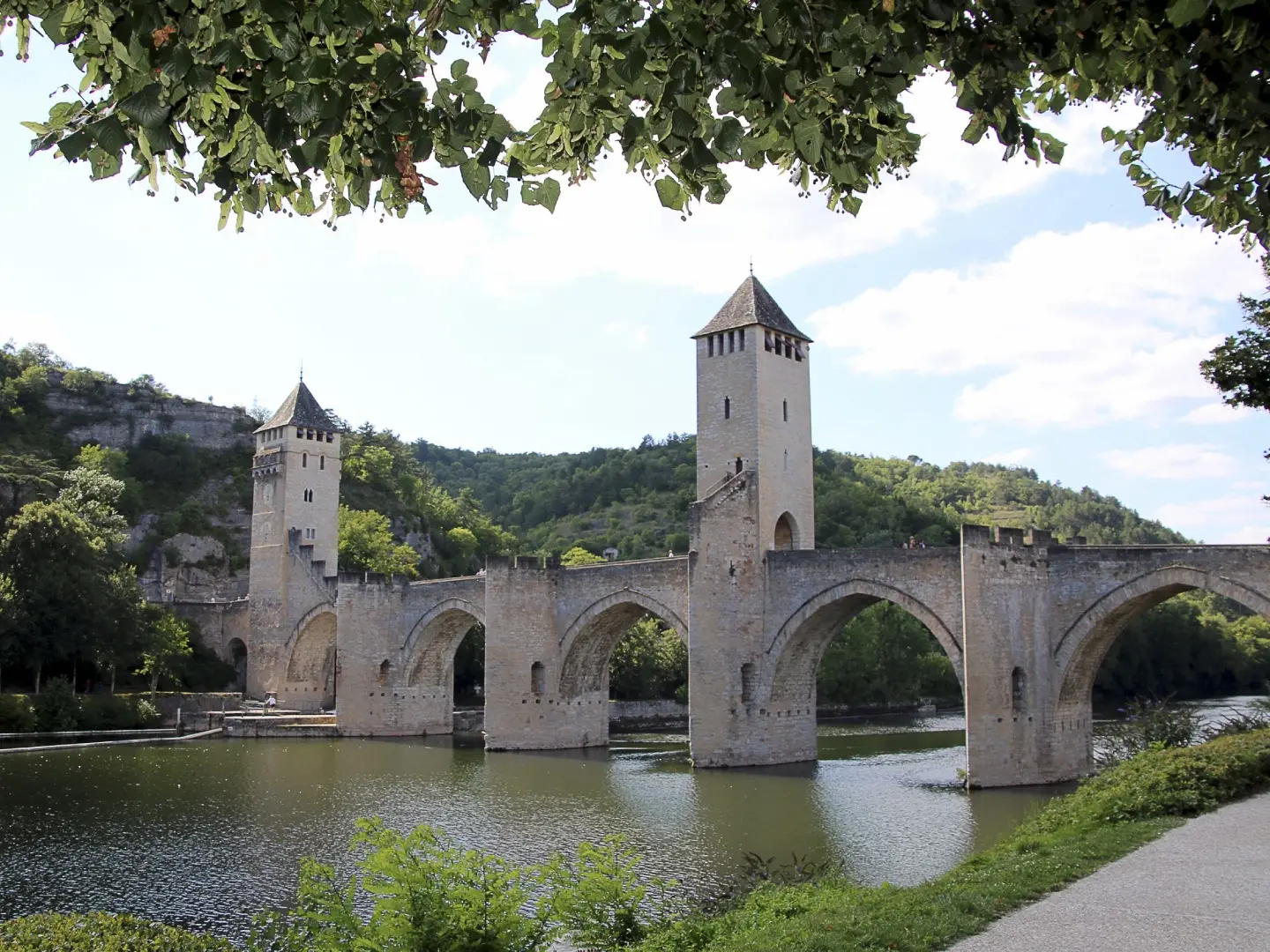
- Pont Valentre, Cahors: A fortified 14th-century bridge over the Lot with three crenellated towers. It is a UNESCO World Heritage Site as part of the Santiago de Compostela pilgrim routes.
- Causses du Quercy UNESCO Global Geopark: A karst limestone landscape of cliffs, sinkholes, dry valleys and caves. It gives the trail its dry, open causse walking and distinctive stone scenery.
- Chemin de halage de Bouzies: A towpath carved into the cliff beside the Lot, with a roughly 300 m rock-cut passage and a sculpted fresco. Bouzies is also a junction for the GR36, GR46 and GR651.
Challenges to expect
The GR46 Lot section is not high altitude, but the cumulative ascent is still about 2,211 m and the causse is rolling rather than flat. Summer can be hot and exposed on the limestone plateaux, so carry enough water between villages. Navigation is helped by standard white-and-red GR blazes, but expect a mix of paths, tracks, minor roads and paved sections. Accommodation is in small villages, so book gites d’etape, chambres d’hotes or hotels ahead in busy periods.
HikeList Score
GR46 (Lot Valley Trail) scored 84/100 on HikeList's trail-quality metrics.
See score breakdownHide breakdown
- Ideal length 96
- Balanced challenge 100
- Scenery & wildness 66
- Varied terrain 100
- Accommodation 67
- Food & support 72
- Path quality 92
- Season flexibility 89
Computed from length, challenge, scenery & wildness, terrain variety, accommodation, food & support, path quality and season flexibility.
 France
Show more data Show less
- Limestone Plateaux
- Dry Valleys
- Riverside
- Oak Woodland
- Farmland
- Footpaths
- Tracks
- Minor Roads
- Paved Sections
- Gites D'Etape
- Chambres D'Hotes
- Small Hotels
- Family Friendly
- Pet Friendly
- Water Sources
- Campsites
- Shelters
- Picnic Areas
Photos from hikers
Taken on the trail by people who've reviewed GR46 (Lot Valley Trail).
Reviews
How would you rate GR46 (Lot Valley Trail)?
Tap a star to start your review — you could be the first.