Hoge Kempen National Park Trail
How would you rate Hoge Kempen National Park Trail?
Tap a star to share your experience and help other hikers.
Hoge Kempen National Park Trail: A Complete Hiking Guide
HikeList Score
Hoge Kempen National Park Trail scored 85/100 on HikeList's trail-quality metrics.
See score breakdownHide breakdown
- Ideal length 81
- Balanced challenge 100
- Scenery & wildness 78
- Varied terrain 94
- Accommodation 66
- Food & support 88
- Path quality 98
- Season flexibility 89
Computed from length, challenge, scenery & wildness, terrain variety, accommodation, food & support, path quality and season flexibility.
The Hoge Kempen National Park Trail is a 105 km waymarked loop through Hoge Kempen National Park in Limburg, Flanders, Belgium. It usually takes 4–5 days and is best treated as a moderate long-distance walk: the terrain is low and non-technical, but several stages are 24–27 km and sandy paths can slow you down. It suits hikers who want forest, heathland, dunes, wetlands and reclaimed mining landscapes without alpine difficulty.
Route Overview
The official start and finish is Kattevennen gateway near Genk, with a short link from Station Genk to the trailhead. The loop can be walked either way and connects the park’s six gateways: Kattevennen, Pietersheim, Terhills/Connecterra, Duinengordel, Thorpark and Mechelse Heide on the southern arm. The standard 5-day split runs Kattevennen–Pietersheim–Terhills–Duinengordel–Thorpark–Kattevennen, with daily distances from about 11 km to 27 km. For longer Belgian waymarked routes, compare the GR 12 Amsterdam to Paris Trail, the GR 126 Semois & Meuse Rivers or the more urban Antwerp Harbour Trail.
From coal mines to Belgium’s first national park
Hoge Kempen was inaugurated on 29 March 2006 as Belgium’s first national park, in eastern Limburg between Genk and the Meuse. Its modern history is tied to coal: mining began after discoveries around 1901, seven mines shaped the region through the 20th century, and the last closed in the 1990s. Former industrial sites, heath and forest were later reclaimed and protected. The park has been on UNESCO’s World Heritage Tentative List since 2011 as a rural-industrial transition landscape.
Notable highlights
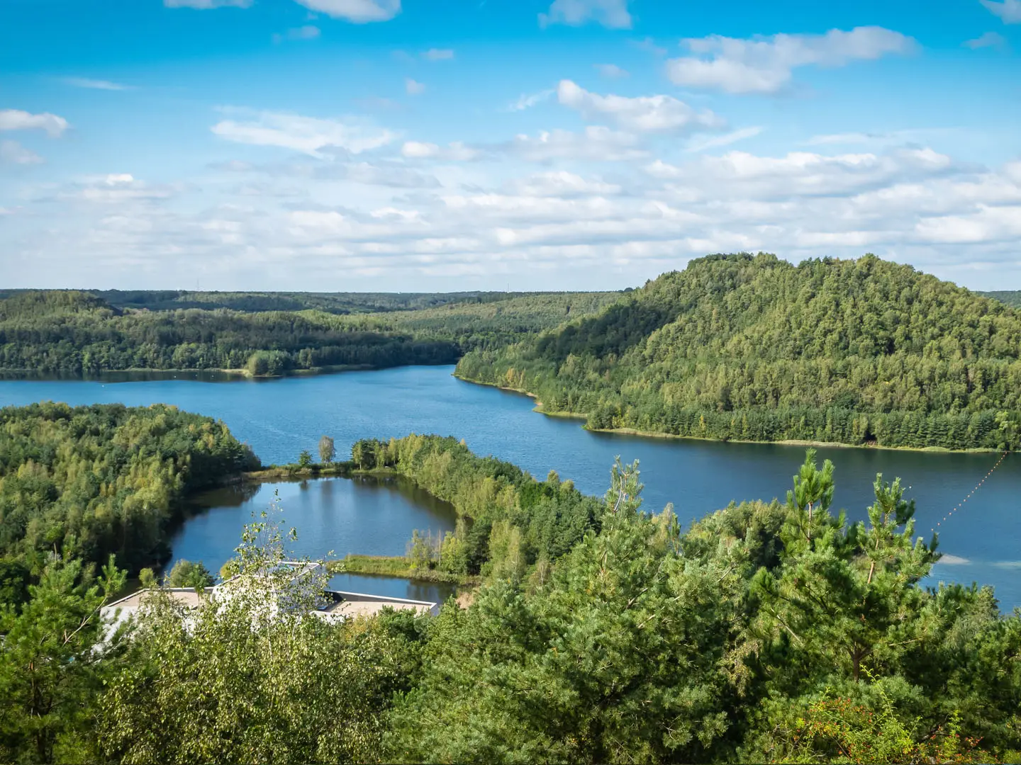
- Terhills / former Connecterra / Eisden mine: The park’s main gateway and visitor centre sits on a reclaimed coal-mining site near Maasmechelen. Preserved Eisden headframes, spoil heaps and gravel-pit lakes give broad views across the park.
- Mechelse Heide: One of the largest heathlands in Flanders, with sandy soil, scattered pines and open walking. Late August is the classic time for purple heather.
- Oudsberg and the Duinengordel: This heath-and-forest dune belt is one of the trail’s most distinctive sandy sections. The Oudsberg is Flanders’ highest and largest inland sand dune at about 85 m.
- Kattevennen / Cosmodrome: The official start and finish gateway near Genk is themed around space and astronomy, with the Cosmodrome planetarium. It is also the practical trailhead for the full loop.
- Pietersheim: A historic moated-castle estate near Lanaken, with parkland and a play forest. It adds a cultural stop between the Kattevennen and Terhills stages.
- Coal-mining heritage: The route crosses a landscape shaped by former Limburg coal mines. Old headframes, reclaimed spoil heaps and the As coal railway show how industrial ground has been converted back into walking country.
Challenges to expect
Do not underestimate the distance: this is a 105 km loop, with several long days around 24–27 km. The trail is low-lying and non-technical, but sandy heath and dune paths can be tiring, and the route includes seven short climbs over dunes and former spoil heaps. Belgian weather is changeable and wet, so carry waterproofs. Waymarking is good, but a map or GPX helps where the long-distance route meets local gateway loops.
HikeList Score
Hoge Kempen National Park Trail scored 85/100 on HikeList's trail-quality metrics.
See score breakdownHide breakdown
- Ideal length 81
- Balanced challenge 100
- Scenery & wildness 78
- Varied terrain 94
- Accommodation 66
- Food & support 88
- Path quality 98
- Season flexibility 89
Computed from length, challenge, scenery & wildness, terrain variety, accommodation, food & support, path quality and season flexibility.
 Belgium
Show more data Show less
- Forest
- Heathland
- Dunes
- Wetlands
- Dirt
- Sand
- Gravel
- Hotels
- Campsites
- Family Friendly
- Pet Friendly
- Restrooms
- Water Sources
- Campsites
- Picnic Areas
Photos from hikers
Taken on the trail by people who've reviewed Hoge Kempen National Park Trail.
Start at the Kattevennen gateway near Genk and walk towards Pietersheim near Lanaken, moving from the official trailhead into the park’s forest, heath and gateway network.
Continue from the moated-castle estate at Pietersheim towards Terhills/Connecterra near Maasmechelen, the park’s main visitor gateway on a reclaimed mining landscape.
Leave the Eisden mining heritage and gravel-pit lakes around Terhills and head towards the Duinengordel, where heath, forest and inland sand dunes dominate.
The longest published stage crosses the dune belt around the Oudsberg before continuing towards Thorpark in Genk, another former coal-mining site on the route.
Close the circuit by walking from Thorpark back to Kattevennen. This shorter final stage returns you to the official start/finish gateway near Genk.
Reviews
How would you rate Hoge Kempen National Park Trail?
Tap a star to start your review — you could be the first.