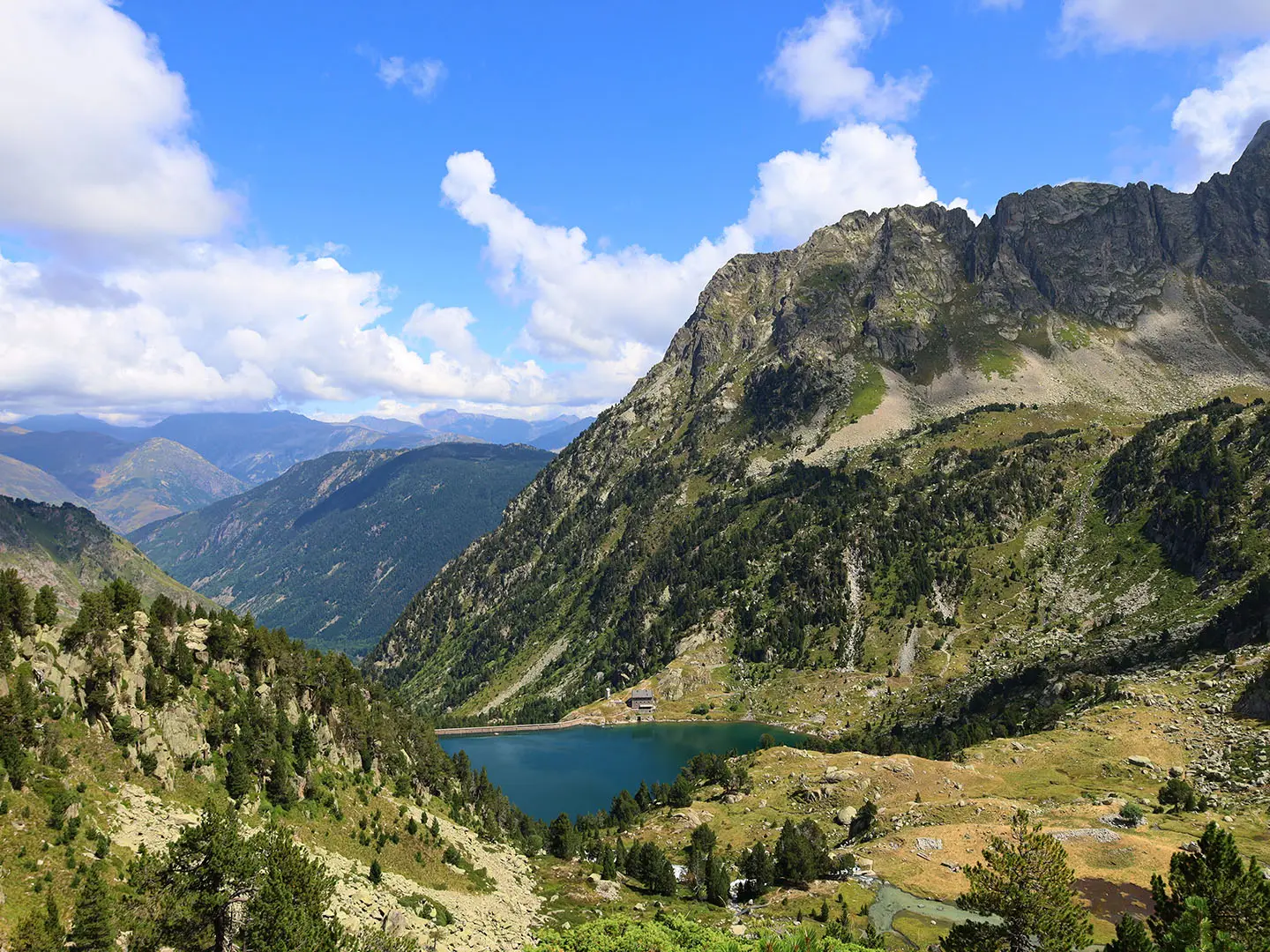
GR11 (Spanish Pyrenees Trail)
How would you rate GR11 (Spanish Pyrenees Trail)?
Tap a star to share your experience and help other hikers.
GR11 (Spanish Pyrenees Trail): Coast-to-Coast Traverse
HikeList Score
GR11 (Spanish Pyrenees Trail) scored 73/100 on HikeList's trail-quality metrics.
See score breakdownHide breakdown
- Ideal length 52
- Balanced challenge 44
- Scenery & wildness 82
- Varied terrain 100
- Accommodation 92
- Food & support 81
- Path quality 84
- Season flexibility 63
Computed from length, challenge, scenery & wildness, terrain variety, accommodation, food & support, path quality and season flexibility.
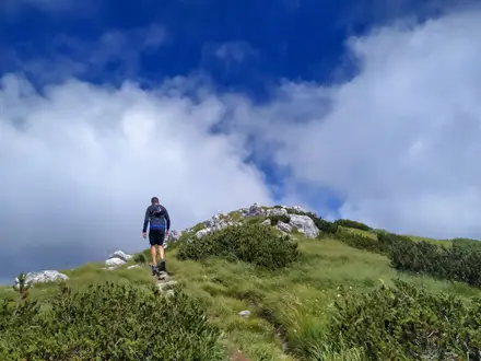
The GR11 is the waymarked Spanish Pyrenees coast-to-coast trail across northern Spain, running roughly 840 km from Cabo Higuer on the Bay of Biscay to Cap de Creus on the Mediterranean. Most thru-hikers take about 44–50 days. It is a strenuous, expert-level walking route: non-technical on the standard line, but long, steep, rocky and remote, with high passes around 2,800 m. It suits fit, experienced hill walkers who can manage multi-day resupply gaps and changeable mountain conditions.
Route Overview
The classic direction is west to east: Cabo Higuer near Hondarribia/Irún, through the Basque Country, Navarre, Aragón and Catalonia, finishing at Cap de Creus on the Costa Brava. The GR11 is a linear point-to-point route, split into about 44–47 sections of roughly 7–31 km, generally ending where accommodation is available. It stays almost entirely on the Spanish side of the Pyrenees, with only a brief dip into France near Candanchú, and passes close to but not through Andorra. For shorter Spanish mountain options, compare the Carros de Foc in Aigüestortes or the Camino Aragonés; for a coastal finish-style trip, see the Camí de Ronda.
GR11 history and Pyrenean context
The GR11 is part of Spain’s Gran Recorrido network of long-distance footpaths, developed from the 1970s onward and waymarked and maintained by Spanish mountaineering federations. It was conceived as the Spanish-side counterpart to France’s GR10, with the unwaymarked Haute Route Pyrénéenne forming the higher, more mountaineering alternative. Together, the GR10, GR11 and HRP are the three classic ways to traverse the Pyrenees from sea to sea.
Notable highlights
- Ordesa y Monte Perdido National Park: A UNESCO World Heritage site known for the Ordesa and Añisclo glacial gorges beneath Monte Perdido. It is one of the most dramatic high-mountain sections of the GR11.
- Maladeta massif and Aneto: The route passes near the Posets-Maladeta Natural Park, where Aneto, the highest peak in the Pyrenees, rises above the trail. Summiting Aneto is an optional variant, not part of the standard waymarked line.
- Aigüestortes i Estany de Sant Maurici National Park: Catalonia’s only national park, with granite peaks, waterfalls and nearly 200 alpine lakes known as estanys. The Carros de Foc circuit explores this area in a shorter loop-style hut trek.
- High passes above 2,500 m: More than ten cols exceed 2,500 m, including Coll de Noucreus and Collado de Coronas around 2,800 m. These give the GR11 its serious high-mountain character.
- Cap de Creus: The Mediterranean finish is a rocky, wind-shaped cape on the Costa Brava and the easternmost point of mainland Spain.
Challenges to expect
Expect steep, rough mountain paths, rocky passes, long days and around 39,000 m of cumulative ascent. The central Pyrenees are remote, with resupply gaps of 3–4 days and high passes where snow can linger until mid-June and return by mid-October. Waymarking uses standard red-and-white GR blazes, but poor weather, altitude and early-season snow can make navigation and safety more demanding.
HikeList Score
GR11 (Spanish Pyrenees Trail) scored 73/100 on HikeList's trail-quality metrics.
See score breakdownHide breakdown
- Ideal length 52
- Balanced challenge 44
- Scenery & wildness 82
- Varied terrain 100
- Accommodation 92
- Food & support 81
- Path quality 84
- Season flexibility 63
Computed from length, challenge, scenery & wildness, terrain variety, accommodation, food & support, path quality and season flexibility.
 Spain
SpainShow more data Show less
- Mountainous
- Forest
- Pasture
- Farmland
- Coastal
- Rocky
- Dirt
- Gravel
- Paved
- Huts
- Hostels
- Hotels
- Wild Camping Spots
- Pet Friendly
- Water Sources
- Campsites
- Shelters
In these collections
Photos from hikers
Taken on the trail by people who've reviewed GR11 (Spanish Pyrenees Trail).
Reviews
How would you rate GR11 (Spanish Pyrenees Trail)?
Tap a star to start your review — you could be the first.