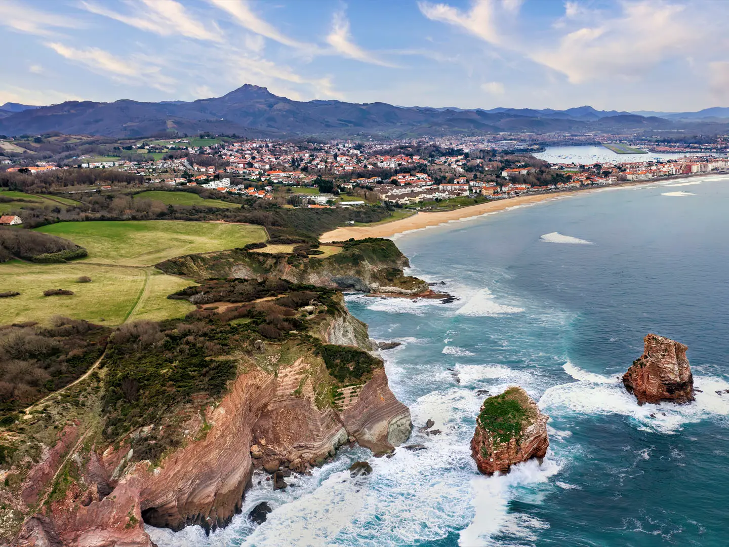
GR10
How would you rate GR10?
Tap a star to share your experience and help other hikers.
GR10: Complete French Pyrenees Traverse Guide
HikeList Score
GR10 scored 82/100 on HikeList's trail-quality metrics.
See score breakdownHide breakdown
- Ideal length 52
- Balanced challenge 80
- Scenery & wildness 98
- Varied terrain 83
- Accommodation 84
- Food & support 88
- Path quality 98
- Season flexibility 76
Computed from length, challenge, scenery & wildness, terrain variety, accommodation, food & support, path quality and season flexibility.
The GR10 is an 866 km waymarked long-distance footpath across the French Pyrenees, from Hendaye on the Atlantic to Banyuls-sur-Mer on the Mediterranean. Allow about 52 days for the full point-to-point traverse. It is a hard mountain hike for fit walkers: no technical climbing is required, but the cumulative ascent is huge and daily climbs are often steep. It suits hikers comfortable with mountain paths, refuges, changing weather and multi-week logistics in France.
Route Overview
The route runs west to east from Hendaye, on the Bay of Biscay, to Banyuls-sur-Mer on the Mediterranean, though it can be walked in either direction. Most hikers go west to east. The GR10 crosses the Basque Country, Béarn and the High Pyrenees, the Central Pyrenees, Ariège, and the Eastern Pyrenees before dropping to the sea. Key points include La Rhune, Hourquette d’Arre, Col d’Ayous, Cauterets, Gavarnie, Hourquette d’Ossoue and the Canigou massif. For shorter French hiking plans, compare the Cirque de Gavarnie Trails, the Canal du Midi Towpath or the Dune du Pilat Trails.
History of the GR10
The GR10 is part of the Grande Randonnée network maintained by FFRandonnée, the French ramblers’ federation. The Pyrenees have long been both frontier and shepherding country, and the trail follows older mountain ways in places. Near Etsaut it uses the Chemin de la Mâture, an 18th-century cliff-cut path made to haul timber for the French navy. During the Second World War, parts of the range were used as clandestine escape routes by refugees and downed Allied airmen.
Notable highlights
- La Rhune (905 m): The emblematic first Basque summit on the GR10, reached on foot or by the historic rack railway running since 1924. It gives early views over the Basque coast and the western Pyrenees.
- Cirque de Gavarnie: A vast glacial amphitheatre on the route and part of the UNESCO-listed Pyrénées-Mont Perdu area. Gavarnie Falls drop about 422 m; see also the dedicated Cirque de Gavarnie Trails.
- Pont d’Espagne and Lac de Gaube: Above Cauterets, this stone bridge, waterfall area and glacial lake sit beneath the Vignemale. It is one of the best-known scenic sections of the Pyrenees National Park.
- Pic du Midi d’Ossau (2,884 m): The GR10 does not climb it, but this twin-horned peak dominates the Ossau valley in Béarn and is a major landmark on the western traverse.
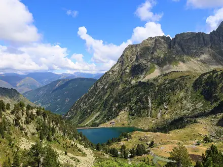
- Lac d’Oô (1,505 m): A glacial lake near Bagnères-de-Luchon, fed by a 275 m cascade. It is a classic scenic stop in the central Pyrenees.
- Ariège and Canigou massif: Ariège is the wildest, most remote part of the GR10, with long gaps between villages. The Canigou massif marks the Eastern Pyrenees before the final descent towards the Mediterranean.
Challenges to expect
Expect a physically demanding trail: 48,000 m of total ascent and equivalent descent, with many days involving 800–1,500 m climbs. The path is well waymarked with GR red-and-white blazes, but Ariège is remote and self-sufficiency matters. High passes can hold snow before mid-June, refuges may close by late September, and steep rocky traverses can be slippery.
HikeList Score
GR10 scored 82/100 on HikeList's trail-quality metrics.
See score breakdownHide breakdown
- Ideal length 52
- Balanced challenge 80
- Scenery & wildness 98
- Varied terrain 83
- Accommodation 84
- Food & support 88
- Path quality 98
- Season flexibility 76
Computed from length, challenge, scenery & wildness, terrain variety, accommodation, food & support, path quality and season flexibility.
 France
Show more data Show less
- Mountainous
- Forest
- Coastal
- Dirt
- Rocky
- Gravel
- Gite
- Refuge
- Hotels
- Campsites
- Wild Camping Spots
- Pet Friendly
- Restrooms
- Water Sources
- Campsites
- Shelters
In these collections
Photos from hikers
Taken on the trail by people who've reviewed GR10.
Reviews
How would you rate GR10?
Tap a star to start your review — you could be the first.