GR 5A (Flanders Coastal Trail)
How would you rate GR 5A (Flanders Coastal Trail)?
Tap a star to share your experience and help other hikers.
GR 5A (Flanders Coastal Trail): Hiking the Tour of Flanders
HikeList Score
GR 5A (Flanders Coastal Trail) scored 85/100 on HikeList's trail-quality metrics.
See score breakdownHide breakdown
- Ideal length 66
- Balanced challenge 90
- Scenery & wildness 90
- Varied terrain 100
- Accommodation 83
- Food & support 88
- Path quality 84
- Season flexibility 89
Computed from length, challenge, scenery & wildness, terrain variety, accommodation, food & support, path quality and season flexibility.
The GR 5A is a 582 km waymarked circular hike around Flanders in Belgium, officially the GR 5A Wandelronde van Vlaanderen. Expect 20–30 walking days, moderate difficulty, lowland terrain and a mix of coast, polders, river valleys, forest tracks and the hills of the Flemish Ardennes and Heuvelland. It suits hikers who want a long, flexible stage-walk with easy public transport, towns on route and no need for mountain gear.
Route Overview
The GR 5A is a loop, not a point-to-point coastal walk. Since 2018 the official start and finish has been Bruges, but the route is waymarked both ways and can be joined at many rail-served towns. It circles West and East Flanders via the North Sea coast, Westhoek, Ieper, Poperinge, Heuvelland, Menen, Ronse, Geraardsbergen, Aalst, Dendermonde, Bornem, Temse and the polder country near the Dutch border. The coast section uses GR white-and-red marks; do not confuse it with the separate Streek-GR Kustpad. Public transport is excellent, with train stations near the route, buses and the Kusttram along the coast. For shorter nearby options, see the Bruges Historic Loop or Bruges to Damme Canal Trail.
History of the GR 5A Wandelronde van Vlaanderen
The GR 5A is a modern recreational trail created and maintained by Grote Routepaden, the Flemish long-distance walking association founded in 1977. It is designed as the “Tour of Flanders”, tracing the borders of the former County of Flanders and linking the region’s coast, battlefields, river towns and historic cities. It is also an “A” variant of the GR 5 family, connected to the European E2 network. The route has changed over time; the current topo-guide gives about 582 km, with Bruges as the official start since 2018.
Notable highlights
- Complete circuit of historic Flanders: The GR 5A makes a continuous loop around the old County of Flanders, tying together coast, polders, rivers and hill country in one long-distance route.
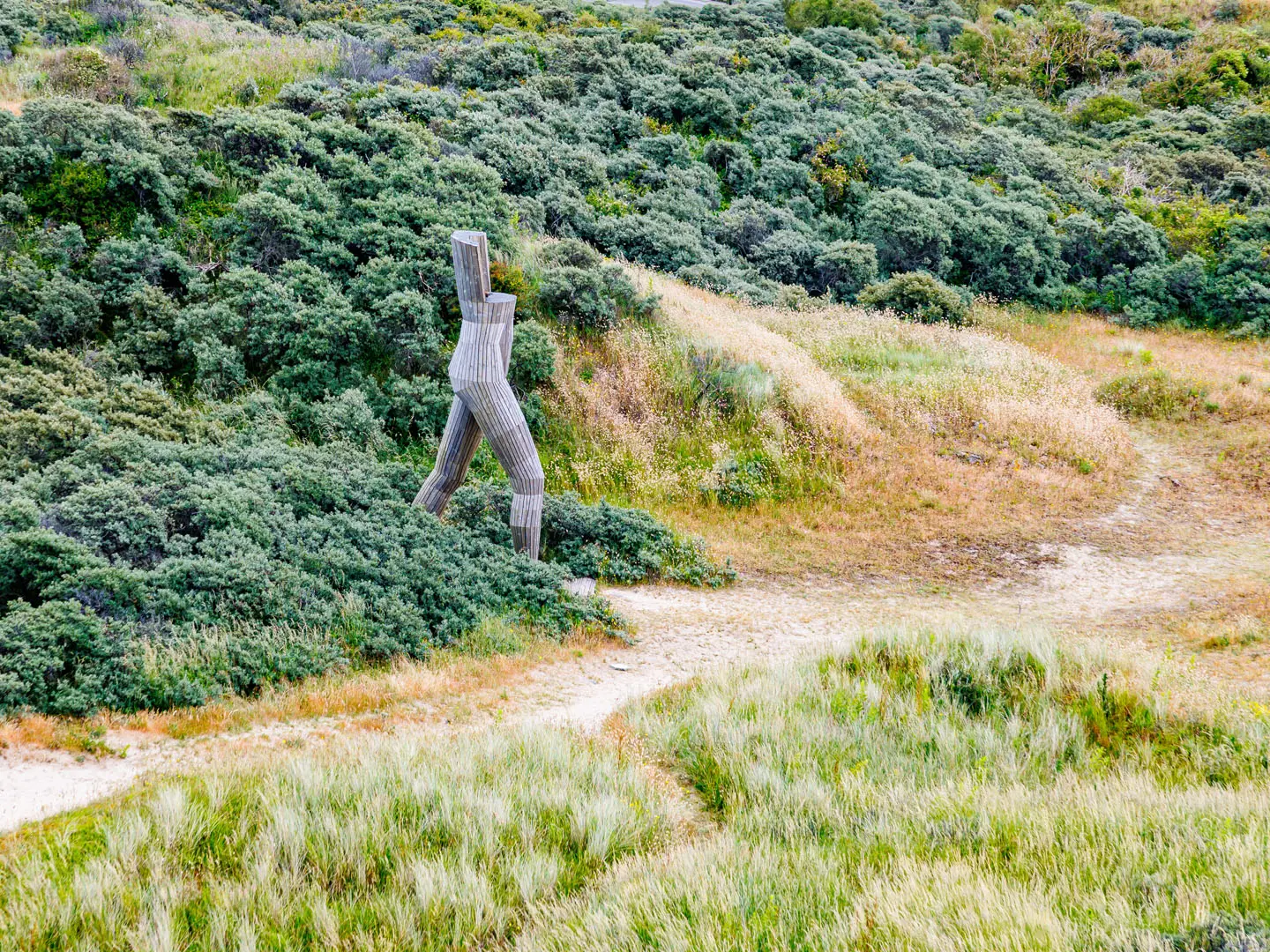
- North Sea coast: The coastal section links De Panne, Oostende, De Haan, Wenduine and Blankenberge through dunes, beaches, sea dikes and resort towns.
- Bruges: The official start and finish is a UNESCO-listed medieval city known for its canals, belfry and market square.
- Flemish Ardennes and Kemmelberg: The route’s main climbing is here and in Heuvelland; the Kemmelberg, at about 156 m, is the trail high point and a First World War landmark.
- Westhoek and Ieper: This south-western section crosses the Ypres Salient and Flanders Fields remembrance landscape; hikers interested in this area may also compare the Flanders Fields Trail.
- Scheldt and Dender rivers: Towpaths and dikes follow the Schelde and Dender through towns including Dendermonde, Temse and Geraardsbergen. For another Belgian GR river route, see the GR 126 Semois and Meuse Rivers.
Challenges to expect
The GR 5A is not technically hard, but the distance is serious: 582 km over 20–30 days. The main difficulties are cumulative fatigue, loose sand on beaches and dunes, muddy field or forest sections after rain, exposed wind on the coast and possible Scheldt flooding during stormy periods. Navigation is generally straightforward on standard white-and-red GR waymarks, but take care not to follow the yellow-and-red coastal Streek-GR by mistake.
HikeList Score
GR 5A (Flanders Coastal Trail) scored 85/100 on HikeList's trail-quality metrics.
See score breakdownHide breakdown
- Ideal length 66
- Balanced challenge 90
- Scenery & wildness 90
- Varied terrain 100
- Accommodation 83
- Food & support 88
- Path quality 84
- Season flexibility 89
Computed from length, challenge, scenery & wildness, terrain variety, accommodation, food & support, path quality and season flexibility.
 Belgium
Show more data Show less
- Coastal
- Polder/Flat
- Hills
- River Valley
- Forest
- Sand
- Dirt
- Gravel
- Paved
- Hotels
- Hostels
- Campsites
- Family Friendly
- Pet Friendly
- Restrooms
- Water Sources
- Campsites
- Picnic Areas
Photos from hikers
Taken on the trail by people who've reviewed GR 5A (Flanders Coastal Trail).
Reviews
How would you rate GR 5A (Flanders Coastal Trail)?
Tap a star to start your review — you could be the first.