GR 129 (Great Belgium Traverse)
How would you rate GR 129 (Great Belgium Traverse)?
Tap a star to share your experience and help other hikers.
GR 129 (Great Belgium Traverse): Belgium’s Diagonal Thru-Hike
HikeList Score
GR 129 (Great Belgium Traverse) scored 85/100 on HikeList's trail-quality metrics.
See score breakdownHide breakdown
- Ideal length 68
- Balanced challenge 100
- Scenery & wildness 74
- Varied terrain 94
- Accommodation 100
- Food & support 88
- Path quality 80
- Season flexibility 89
Computed from length, challenge, scenery & wildness, terrain variety, accommodation, food & support, path quality and season flexibility.
The GR 129 — La Belgique en diagonale / Dwars door België — is a 573 km waymarked Grande Randonnée crossing Belgium from Bruges to Arlon. Plan on about 22-26 days. It is moderate rather than technical: the challenge is the length, repeated days, rain and cumulative climbing, especially in Wallonia. The route suits fit hikers who want a full-country thru-hike through polders, farmland, forest, river valleys, the Ardennes plateau and Gaume.
Route Overview
This is a point-to-point trail running north-west to south-east from Bruges, near the Minnewater and Begijnhof, to Arlon close to the French and Luxembourg borders. The route passes Beernem, Aalter, Deinze, Oudenaarde, Ronse, Ellezelles, Ath, Mons, Thuin, Maredsous, Dinant, the Lesse valley, Daverdisse, Offagne, Florenville, Orval, Torgny, Virton and Messancy. Broadly, it breaks into the Flemish section from Bruges to Ronse / Ellezelles, Ellezelles to Dinant, and the longer, hillier Dinant to Arlon section. For related Belgian ideas, compare the river-focused GR 126, the international GR 12 or the Abbey Trail of Wallonia.
How the GR 129 became Belgium’s diagonal trail
The GR 129 is a modern long-distance route assembled by Belgium’s GR associations from existing footpaths to link the country corner to corner. The Flemish Dwars door België guide between Bruges and Ronse appeared in 2006, and the full Bruges–Arlon diagonal was later promoted as Belgium’s longest waymarked hiking route. The line was revised and slightly lengthened in 2023, with changes in Flanders and south of Charleroi.
Notable highlights
- Bruges: The start is a UNESCO-listed medieval city of canals, brick gables and belfry. The trail leaves from near the Minnewater and Begijnhof before heading into the West Flanders polders.
- Flemish Ardennes & Pays des Collines: Around Oudenaarde, Ronse and Ellezelles, the flat northern terrain gives way to short, steep hills. This is where the route first feels noticeably rolling.
- Mons: Hainaut’s historic capital has a UNESCO-listed belfry and the collegiate church of Sainte-Waudru. It makes a strong cultural waypoint on the western half of the traverse.
- Maredsous Abbey and Dinant: Maredsous is a large Benedictine abbey in the Molignée valley, known for beer and cheese. Dinant follows on the Meuse, set below a cliff-top citadel and linked to Adolphe Sax.
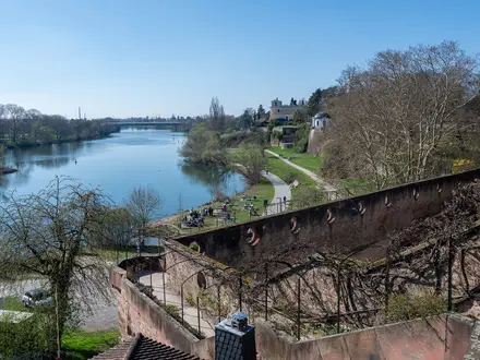
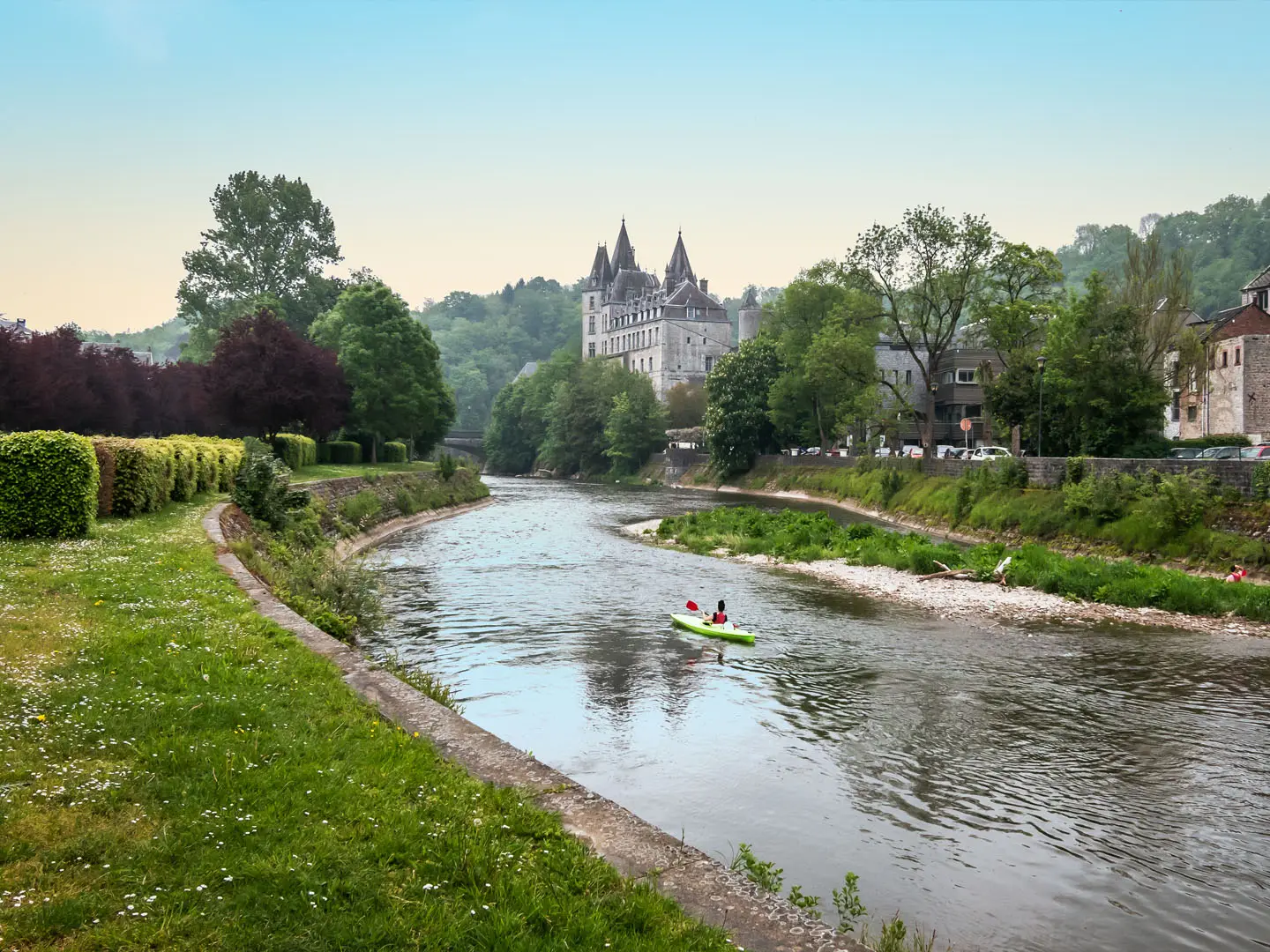
- Lesse valley: South of Dinant, the GR 129 follows wooded limestone country around the Lesse. This is one of the wilder river-valley sections of the route.
- Orval, Torgny and Arlon: Orval Abbey is a Cistercian abbey near the French border, famous for Trappist beer and cheese. Torgny and the Gaume lead into Arlon, one of Belgium’s oldest towns.
Challenges to expect
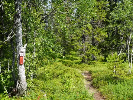
Expect a long, steady endurance hike rather than technical mountain terrain. The Flemish half is mostly flat to rolling, but the Condroz, Famenne, Lesse valley, Ardennes plateau and Gaume add real climbs and descents. Rain is possible in any season, and forest sections can be muddy. Accommodation exists in towns, but campsites and budget options are unevenly spaced, so stage planning matters.
HikeList Score
GR 129 (Great Belgium Traverse) scored 85/100 on HikeList's trail-quality metrics.
See score breakdownHide breakdown
- Ideal length 68
- Balanced challenge 100
- Scenery & wildness 74
- Varied terrain 94
- Accommodation 100
- Food & support 88
- Path quality 80
- Season flexibility 89
Computed from length, challenge, scenery & wildness, terrain variety, accommodation, food & support, path quality and season flexibility.
 Belgium
Show more data Show less
- Forest
- Farmland
- River Valley
- Hills
- Urban
- Dirt
- Gravel
- Paved
- Hotels
- Guesthouses
- Hostels
- Campsites
- Family Friendly
- Pet Friendly
- Restrooms
- Water Sources
- Campsites
- Picnic Areas
Photos from hikers
Taken on the trail by people who've reviewed GR 129 (Great Belgium Traverse).
Reviews
How would you rate GR 129 (Great Belgium Traverse)?
Tap a star to start your review — you could be the first.