Nakasendo Trail
How would you rate Nakasendo Trail?
Tap a star to share your experience and help other hikers.
Nakasendo Trail: Historic Post Towns and Kiso Valley Walking
HikeList Score
Nakasendo Trail scored 83/100 on HikeList's trail-quality metrics.
See score breakdownHide breakdown
- Ideal length 75
- Balanced challenge 100
- Scenery & wildness 85
- Varied terrain 89
- Accommodation 58
- Food & support 94
- Path quality 84
- Season flexibility 76
Computed from length, challenge, scenery & wildness, terrain variety, accommodation, food & support, path quality and season flexibility.
The Nakasendo Trail is a 534 km historic highway across central Japan, linking Nihonbashi in Tokyo with Sanjo Ohashi in Kyoto through the mountainous interior. Most hikers do not walk every kilometre: the popular trip is an 11-12 day Kyoto-to-Tokyo itinerary using short train transfers, or a shorter Kiso Valley walk between Narai, Tsumago and Magome. Difficulty is easy to moderate, with well-signed village paths, forest tracks, stone paving and a few steeper passes.
Route Overview
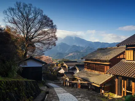
The Nakasendo is a point-to-point route traditionally running between Nihonbashi bridge in Edo, now Tokyo, and Sanjo Ohashi bridge in Kyoto. Modern walkers usually travel Kyoto to Tokyo, combining preserved walking sections with short train transfers where the old road overlaps modern highways. The best-known hiking section is the Kiso Valley, spanning Nagano and Gifu prefectures, where the route links Narai-juku, Torii Pass, Yabuhara, Tsumago-juku, Magome Pass and Magome-juku. The celebrated Magome to Tsumago walk is about 7.7-8 km. For another historic Japanese pilgrimage, compare the Kumano Kodo Pilgrimage Routes or the Kumano Kodo Nakahechi Route.
History of the Nakasendo
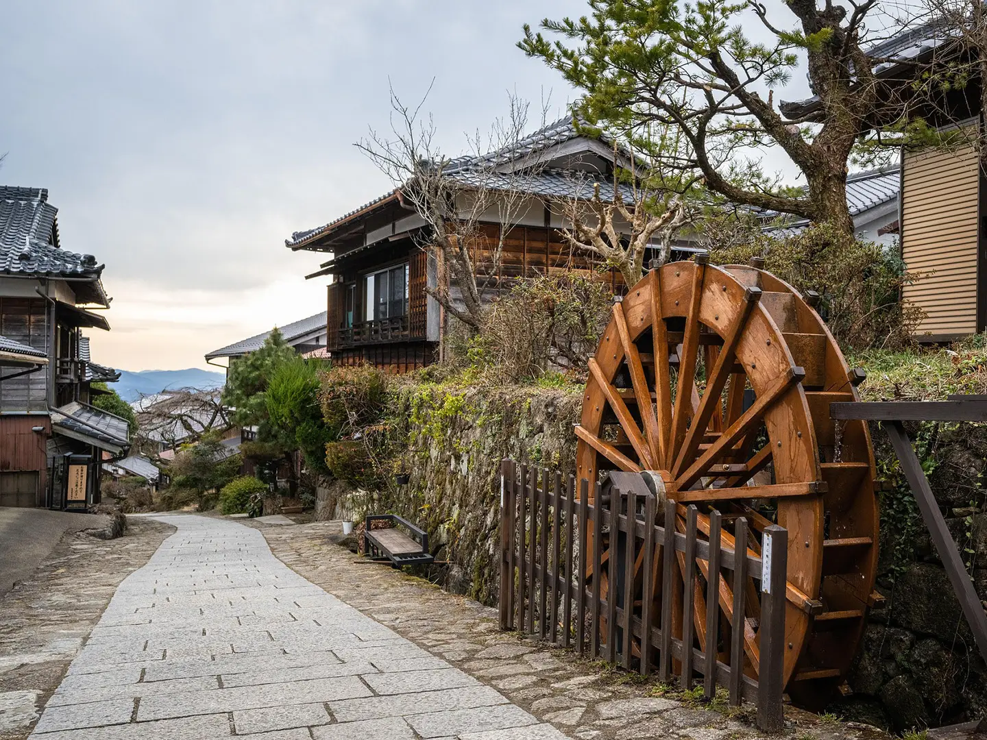
The Nakasendo, or Central Mountain Route, was one of the Gokaido: the five government-administered highways of the Edo period. It carried officials, merchants, pilgrims and feudal lords moving under the sankin-kotai system of alternate attendance. Unlike the coastal Tokaido, it ran inland through the mountains and avoided major river crossings. The road had 69 post towns, or juku. Three sections gained National Historic Site status in 1987, and Tsumago became a leading example of Japan’s post-town preservation movement.
Notable highlights
- Tsumago-juku (42nd post town): One of Japan’s best-preserved Edo-period post towns. Cars are banned from the main street during the day and modern signage is concealed, making it the atmospheric highlight of the Kiso Valley walk.
- Magome-juku (43rd post town): A sloping, stone-paved hillside town and the birthplace of novelist Shimazaki Toson. The Toson Memorial Museum stands on the main street.
- Magome Pass (801 m): The high point of the classic 7.7 km Tsumago-Magome walk. From the pass it is roughly 5.5 km down to Tsumago through forest and past tea houses.
- Narai-juku: Known as “Narai of a Thousand Houses”, this long post town stretches about 1 km and was a final rest before travellers crossed Torii Pass.
- Torii Pass (1,197 m): The highest point on the popular walking sections, between Narai and Yabuhara. Its summit is marked by a large stone Shinto torii gate dedicated to Mount Ontake.
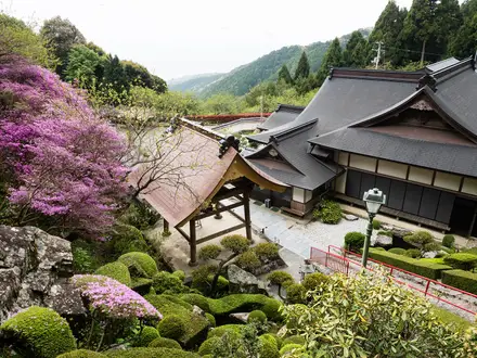
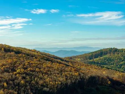
- Kiso Valley (Kisoji): The most scenic and best-preserved Nakasendo section, with cedar forest, clear streams, rice terraces and mountain villages.
Challenges to expect
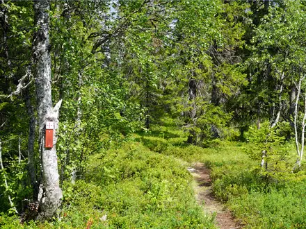
The Nakasendo is not technically hard, but it is not a continuous wilderness trail. Expect a mix of forest paths, original stone paving, village streets and asphalt where the historic road meets modern development. The main climbs are over passes such as Torii Pass and Magome Pass. Summer can be humid and hot, while winter brings snow at the passes. On popular Kiso sections, English and Japanese signposting is generally good.
HikeList Score
Nakasendo Trail scored 83/100 on HikeList's trail-quality metrics.
See score breakdownHide breakdown
- Ideal length 75
- Balanced challenge 100
- Scenery & wildness 85
- Varied terrain 89
- Accommodation 58
- Food & support 94
- Path quality 84
- Season flexibility 76
Computed from length, challenge, scenery & wildness, terrain variety, accommodation, food & support, path quality and season flexibility.
Show more data Show less
- Mountainous
- Forest
- Rural
- Stone Paved
- Dirt
- Cobbled
- Paved
- Ryokan
- Minshuku
- Family Friendly
- Dog Friendly On Leash
- Restrooms
- Potable Water Sources
- Established Campsites
- Shelters
- Food Vendors
- Public Transport Access Points
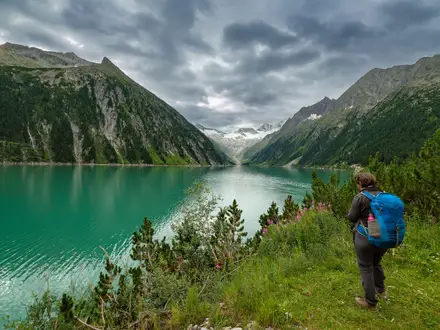
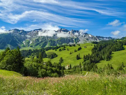
Photos from hikers
Taken on the trail by people who've reviewed Nakasendo Trail.
Reviews
How would you rate Nakasendo Trail?
Tap a star to start your review — you could be the first.