GR131 (Canary Islands Route)
How would you rate GR131 (Canary Islands Route)?
Tap a star to share your experience and help other hikers.
GR131 (Canary Islands Route): island-hopping across the Canaries
HikeList Score
GR131 (Canary Islands Route) scored 80/100 on HikeList's trail-quality metrics.
See score breakdownHide breakdown
- Ideal length 52
- Balanced challenge 84
- Scenery & wildness 98
- Varied terrain 100
- Accommodation 74
- Food & support 74
- Path quality 87
- Season flexibility 89
Computed from length, challenge, scenery & wildness, terrain variety, accommodation, food & support, path quality and season flexibility.
The GR131 is a 560 km Gran Recorrido footpath across all seven main Canary Islands in Spain, walked as a 35-day, point-to-point island traverse. It links separate waymarked GR131 sections using inter-island ferries, from Órzola on Lanzarote to Faro de Orchilla on El Hierro. The route is hard rather than technical: long, remote days, steep rocky paths, volcanic terrain and self-supported logistics make it best for fit, experienced walkers.
Route Overview
The standard direction is north-east to south-west: Lanzarote, Fuerteventura, Gran Canaria, Tenerife, La Gomera, La Palma and El Hierro. The route starts at Órzola on Lanzarote’s north coast and finishes at Faro de Orchilla, the remote Orchilla lighthouse on El Hierro. Key sections include Fuerteventura’s long arid crossing via Betancuria, Gran Canaria’s central crest near Cruz de Tejeda, Teide National Park on Tenerife, Garajonay National Park on La Gomera, and La Palma’s volcanic ridge to Fuencaliente. Ferries with operators such as Fred Olsen, Naviera Armas and Líneas Romero are essential transfers, not part of the walking distance. For mainland comparisons, see the Camino Francés, Camino del Norte or the coastal Camí de Ronda.
History of the GR131
The GR131 is a designated Gran Recorrido within Spain’s official footpath and Caminos Naturales networks, created to link the seven Canary Islands into one continuous coast-to-coast trail. It follows historic mule paths, caminos reales and pilgrimage tracks, including El Hierro’s route to the Ermita de la Virgen de los Reyes. The Cicerone guidebook Trekking in the Canary Islands describes the full island-hopping route in 32 stages.
Notable highlights
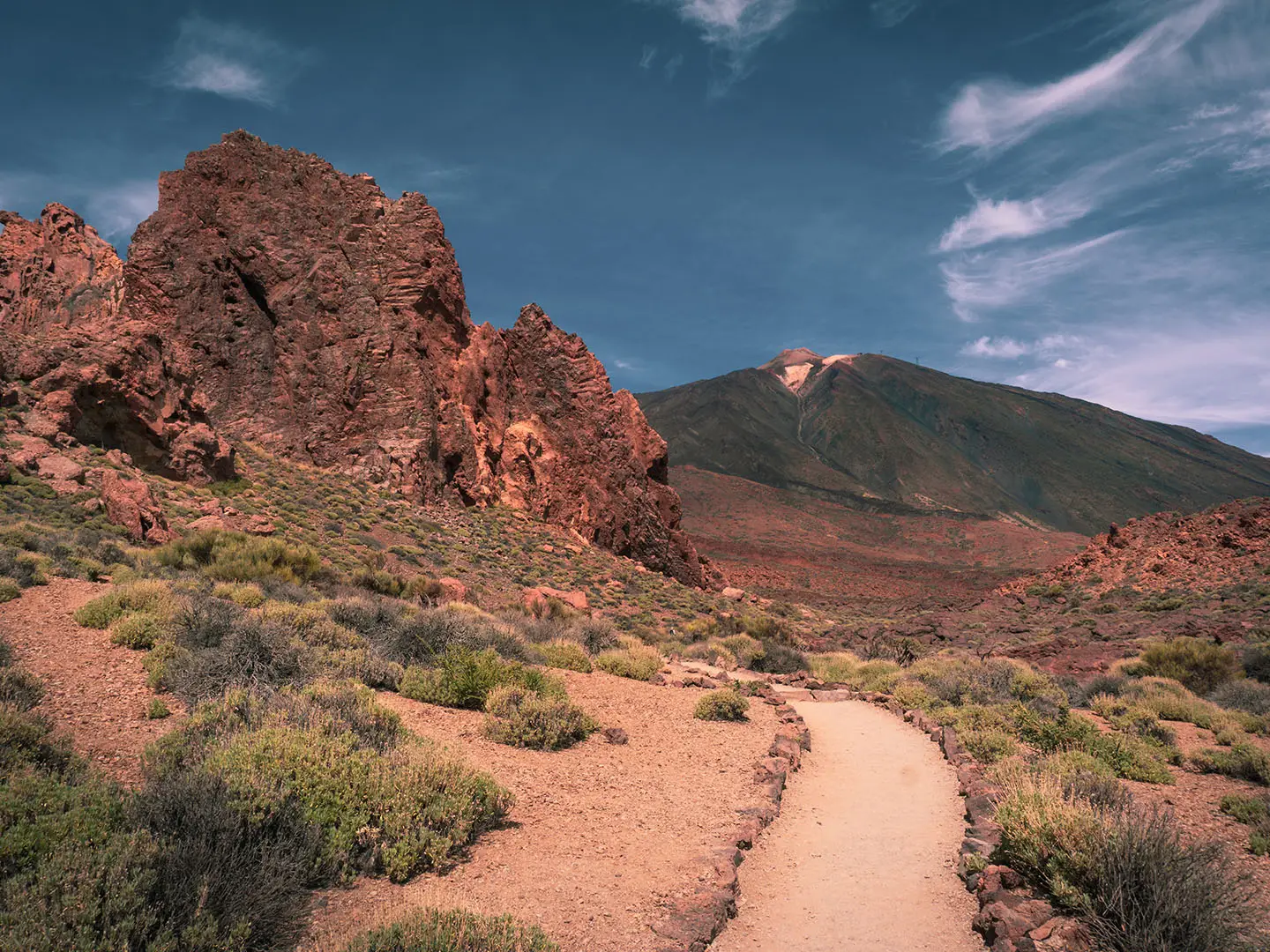
- El Teide & Teide National Park (Tenerife): The route crosses Spain’s highest national park. An ascent of El Teide, Spain’s highest point at 3,715 m, can be added with a free timed summit permit.
- Roque de los Muchachos & Ruta de los Volcanes (La Palma): The La Palma section starts at Roque de los Muchachos, a 2,426 m summit ringed by major astronomical observatories. It then follows crater-rim and volcanic terrain south towards Fuencaliente.
- Garajonay National Park (La Gomera): A UNESCO World Heritage laurisilva cloud forest. It gives the GR131 one of its sharpest contrasts after the dry, open terrain of Lanzarote and Fuerteventura.
- Betancuria (Fuerteventura): Fuerteventura’s former capital sits in an inland valley and makes a notable green break in the island’s desert-like landscape.
- Faro de Orchilla (El Hierro): The remote south-western lighthouse marks the finish. The site was historically regarded as the edge of the known world and was once associated with a prime meridian.
Challenges to expect
Expect demanding but non-technical walking: steep rocky paths, volcanic gravel, lava fields, ash slopes, exposed desert-like plains and long stretches with few services. Waymarking is generally good but varies by island, so carry offline mapping. Heat and wildfire risk make summer a poor choice. Accommodation can be sparse or off mainstream booking sites, and the El Teide summit cone requires an advance timed permit.
HikeList Score
GR131 (Canary Islands Route) scored 80/100 on HikeList's trail-quality metrics.
See score breakdownHide breakdown
- Ideal length 52
- Balanced challenge 84
- Scenery & wildness 98
- Varied terrain 100
- Accommodation 74
- Food & support 74
- Path quality 87
- Season flexibility 89
Computed from length, challenge, scenery & wildness, terrain variety, accommodation, food & support, path quality and season flexibility.
Show more data Show less
- Volcanic
- Desert
- Forest
- Mountainous
- Coastal
- Rocky
- Dirt
- Gravel
- Cobbled
- Paved
- Hotels
- Guesthouses
- Pet Friendly
- Water Sources
- Campsites
In these collections
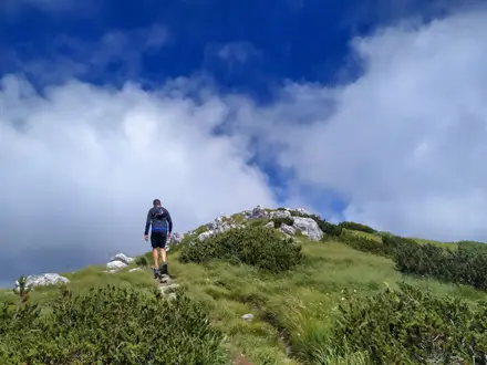
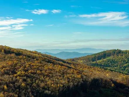
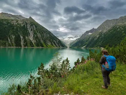
Photos from hikers
Taken on the trail by people who've reviewed GR131 (Canary Islands Route).
Reviews
How would you rate GR131 (Canary Islands Route)?
Tap a star to start your review — you could be the first.