Galdhøpiggen Summit Trail
How would you rate Galdhøpiggen Summit Trail?
Tap a star to share your experience and help other hikers.
Galdhøpiggen Summit Trail: Norway’s Highest Peak on Foot
HikeList Score
Galdhøpiggen Summit Trail scored 72/100 on HikeList's trail-quality metrics.
See score breakdownHide breakdown
- Ideal length 55
- Balanced challenge 74
- Scenery & wildness 98
- Varied terrain 64
- Accommodation 58
- Food & support 59
- Path quality 98
- Season flexibility 76
Computed from length, challenge, scenery & wildness, terrain variety, accommodation, food & support, path quality and season flexibility.
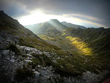
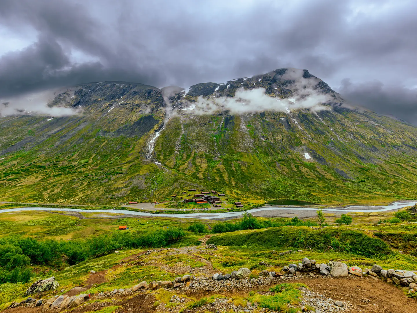
The Galdhøpiggen Summit Trail is a hard 11 km out-and-back day hike from Spiterstulen in Jotunheimen National Park, Norway. It climbs to 2,469 m, the highest point in Norway, Scandinavia and Northern Europe, with about 1,400 m of ascent over rocky, cairn-marked terrain. The standard Spiterstulen route is physically demanding but non-technical and glacier-free, suiting fit hikers who want a serious mountain day without ropes or glacier travel.
Route Overview
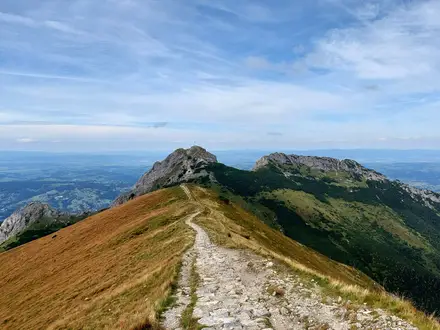
Start and finish at Spiterstulen mountain lodge, 1,111 m, in Lom Municipality, Innlandet. From the lodge, the route crosses a bridge over the Visa river, then follows red-painted cairns up switchbacks through low woodland. Higher up it becomes open gravel and uneven stony ground, crossing Svellnose at 2,272 m and Keilhaus topp at 2,355 m before the final rocky approach to Galdhøpiggen’s summit. It is an out-and-back route, normally walked independently from Spiterstulen. The alternative from Juvasshytta crosses Styggebreen glacier and legally requires a certified glacier guide, ropes and harnesses. For other Jotunheimen objectives, compare the Glittertind Ascent and Besseggen Ridge.
Galdhøpiggen’s First Ascent and Survey History
Galdhøpiggen was first summited in 1850 by guide Steinar Sulheim, teacher Lars Arnesen and church warden Ingebrigt Flotten. Before accurate measurement, it was long thought to be lower than Snøhetta, but later surveys confirmed it as Norway’s highest mountain. The name Keilhaus topp comes from Baltazar Mathias Keilhau, who reached that 2,355 m point in 1844 and believed he had climbed the summit.
Notable highlights
- The 2,469 m summit: The highest point in Norway, Scandinavia and Northern Europe. On a clear day it gives a wide panorama across the glaciated peaks of Jotunheimen.
- Keilhaus topp (2,355 m): A subsidiary summit crossed on the standard Spiterstulen route. It is named after Baltazar Keilhau, who turned back here in 1844 thinking he had reached Galdhøpiggen.
- Svellnose (2,272 m): An over-2,000 m peak on the line of ascent. It adds to the route’s sustained high-mountain feel before the final climb.
- Summit shelter cabin: A small cabin or kiosk at or near the top sells warm drinks and refreshments in peak season and provides useful shelter.
- Jotunheimen glaciers and the Visa valley: The route looks towards icefalls such as Svellnosbreen and down into valleys cut through the gabbro bedrock of the Jotunheimen range.
Challenges to expect
Expect a long, steep mountain day: about 7–9 hours round trip with roughly 1,400 m of ascent. The upper route is exposed to weather, with long sections of uneven gravel, rock and stony scree, plus possible snow patches near the summit. Navigation follows red-painted cairns, but cloud can reduce visibility. The Spiterstulen route avoids glacier travel; do not treat the Juvasshytta glacier route as equivalent without a certified guide. For a less demanding Norwegian summit day, the cairn-marked Gaustatoppen Summit Trail makes a gentler alternative.
HikeList Score
Galdhøpiggen Summit Trail scored 72/100 on HikeList's trail-quality metrics.
See score breakdownHide breakdown
- Ideal length 55
- Balanced challenge 74
- Scenery & wildness 98
- Varied terrain 64
- Accommodation 58
- Food & support 59
- Path quality 98
- Season flexibility 76
Computed from length, challenge, scenery & wildness, terrain variety, accommodation, food & support, path quality and season flexibility.
 Norway
Show more data Show less
- Mountainous
- Forest
- Rocky
- Gravel
- Huts
- Campsites
- Family Friendly
- Pet Friendly
- Restrooms
- Campsites
- Shelters
In these collections
Photos from hikers
Taken on the trail by people who've reviewed Galdhøpiggen Summit Trail.
Reviews
How would you rate Galdhøpiggen Summit Trail?
Tap a star to start your review — you could be the first.