Postie's Path
How would you rate Postie's Path?
Tap a star to share your experience and help other hikers.
Postie's Path: A Serious Coigach Coastal Mountain Walk
HikeList Score
Postie's Path scored 72/100 on HikeList's trail-quality metrics.
See score breakdownHide breakdown
- Ideal length 55
- Balanced challenge 80
- Scenery & wildness 88
- Varied terrain 100
- Accommodation 49
- Food & support 45
- Path quality 98
- Season flexibility 89
Computed from length, challenge, scenery & wildness, terrain variety, accommodation, food & support, path quality and season flexibility.
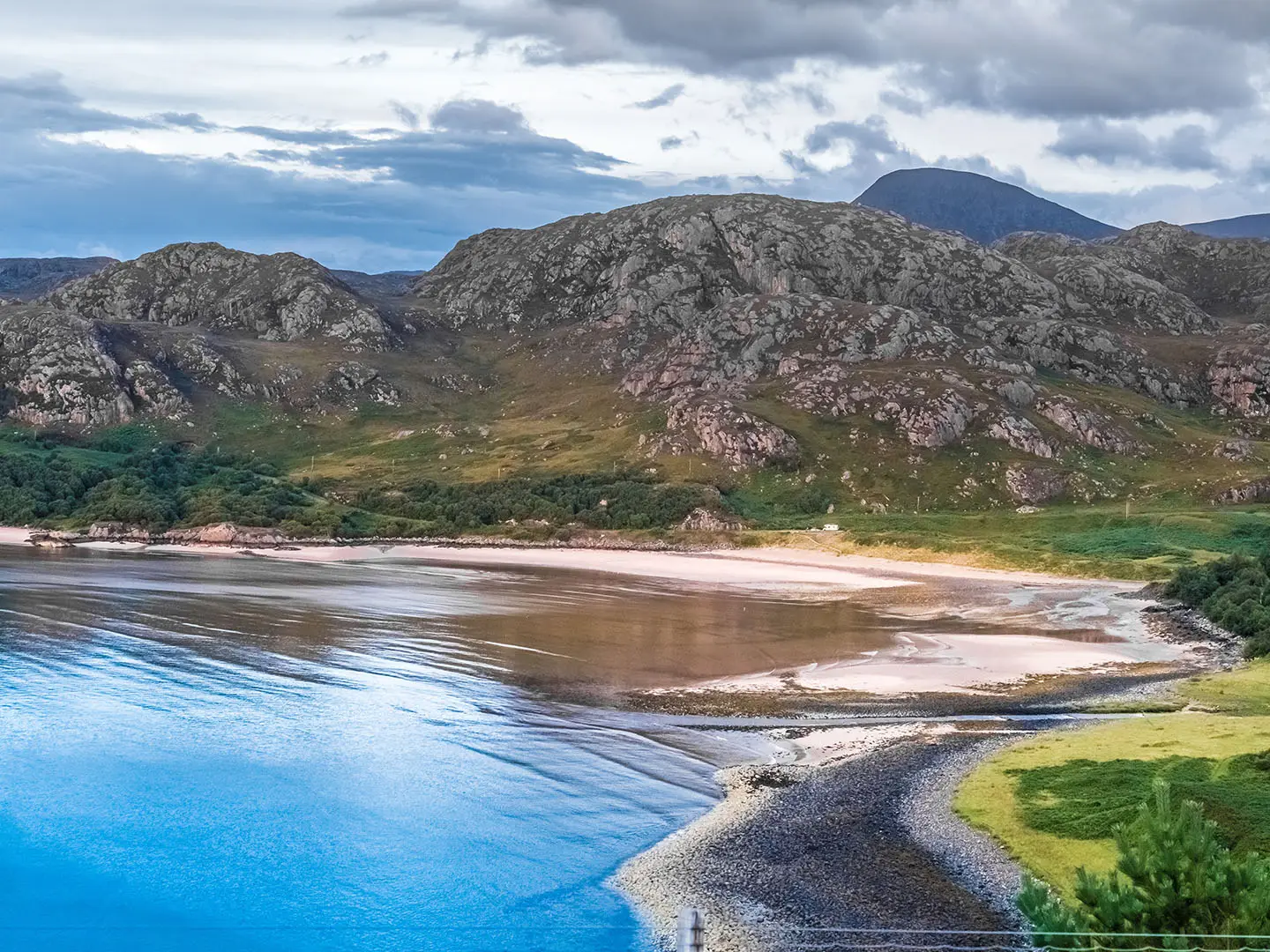
Postie's Path, or Gabhail a' Chreig, is an 11 km point-to-point mountain path in Coigach, Wester Ross, in north-west Scotland. It runs between Achduart/Culnacraig and Blughasary, traversing the steep south-western slopes of Ben Mor Coigach above the mouth of Loch Broom. Although low-level, this is a hard, committing one-day walk with exposed sidehill ground, bog, burns and a short rocky scramble. It suits fit, well-equipped hillwalkers, not casual coastal walkers.
Route Overview
The waymarked Postie's Path runs point-to-point from Achduart/Culnacraig on the Coigach side to Blughasary on the Strathcanaird side. Either direction is possible, but logistics need planning because the ends are separate and there are no facilities on the path. The route traverses the seaward flank of Ben Mor Coigach, passing steep grassy and craggy slopes above Loch Broom, the exposed Geodha Mor rocky step, burn crossings and boggier ground toward Strathcanaird. Use Achiltibuie/Coigach or Ullapool as nearby bases. For other north-west Highland objectives, compare the Assynt Coastal Path or the rougher mountain terrain of the Beinn Eighe Mountain Trail.
The Mail Route Between Ullapool and Achiltibuie
Postie's Path is a historic communication route, shown on Arrowsmith's 1807 map as the only land route between Ullapool and Achiltibuie. From the 1860s, postman Kenneth McLennan of Blairbuie carried mail twice weekly along the wider Ullapool–Achiltibuie round, a journey of about 23 km, for two shillings and threepence a trip. The Culnacraig–Achduart section was built by the local school board in the 1870s after compulsory schooling was introduced in Scotland. The route is known in Gaelic as Gabhail a' Chreig.
Notable highlights
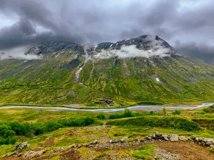
- Ben Mor Coigach (743 m): The path traverses the mountain’s steep south-western flank rather than climbing to the summit. Its Garbh Choireachan ridge forms the dominant skyline above the route.
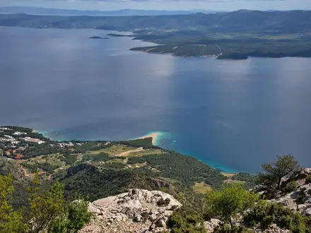
- Mouth of Loch Broom: The path crosses slopes that fall sharply toward the sea at the loch’s mouth. Clear weather gives views across to Isle Martin and out toward the Summer Isles.
- Geodha Mor and the rocky step: This is the most exposed and committing section, with natural rock steps and a short scramble. Take particular care here in wet, windy or tired conditions.
- Dun Canna: An Iron Age promontory fort on a headland near the Strathcanaird/Blughasary end. It adds a clear archaeological point of interest to the coastal mountain setting.
- Allt a' Choire Reidh woodland: Near the Strathcanaird end, the path passes through native woodland and old oaks, with a footbridge over the burn. The surrounding grazings are noted for orchids and sundew.
- Wildlife and flora: The Coigach coast and Scottish Wildlife Trust’s Ben Mor Coigach reserve support red deer, seabirds and birds of prey, with orchids and insect-eating sundew in wetter ground.
Challenges to expect
Treat Postie's Path as a mountain walk, not an easy coastal path. Expect a narrow, faint line across steep exposed slopes, peat and bog, rock and stone underfoot, and burns that may be impassable after heavy rain. The short rocky step needs care, especially in wet conditions. Carry full mountain equipment, map and compass; waymarking helps but does not remove the need to navigate.
HikeList Score
Postie's Path scored 72/100 on HikeList's trail-quality metrics.
See score breakdownHide breakdown
- Ideal length 55
- Balanced challenge 80
- Scenery & wildness 88
- Varied terrain 100
- Accommodation 49
- Food & support 45
- Path quality 98
- Season flexibility 89
Computed from length, challenge, scenery & wildness, terrain variety, accommodation, food & support, path quality and season flexibility.
 United Kingdom
 Scotland
Show more data Show less
- Mountainous
- Coastal
- Forest
- Bog
- Grass
- Peat
- Bog
- Rock
- Stone
- Wild Camping Spots
- Pet Friendly
- Campsites
Photos from hikers
Taken on the trail by people who've reviewed Postie's Path.
Reviews
How would you rate Postie's Path?
Tap a star to start your review — you could be the first.