Glittertind Ascent
How would you rate Glittertind Ascent?
Tap a star to share your experience and help other hikers.
Glittertind Ascent: Norway’s Second-Highest Summit
HikeList Score
Glittertind Ascent scored 66/100 on HikeList's trail-quality metrics.
See score breakdownHide breakdown
- Ideal length 55
- Balanced challenge 80
- Scenery & wildness 66
- Varied terrain 100
- Accommodation 49
- Food & support 38
- Path quality 98
- Season flexibility 76
Computed from length, challenge, scenery & wildness, terrain variety, accommodation, food & support, path quality and season flexibility.
The Glittertind Ascent is a hard 1-day summit hike in Jotunheimen National Park, Norway. The classic DNT-marked route starts at Glitterheim lodge, climbs to Glittertind’s 2,452 m summit, and returns the same way: about 15 km round trip with roughly 1,070 m ascent. It suits fit, experienced hillwalkers comfortable with steep rocky ground, scree, cold wind and lingering upper snow. For another major Jotunheimen summit, compare the Galdhøpiggen Summit Trail.
Route Overview
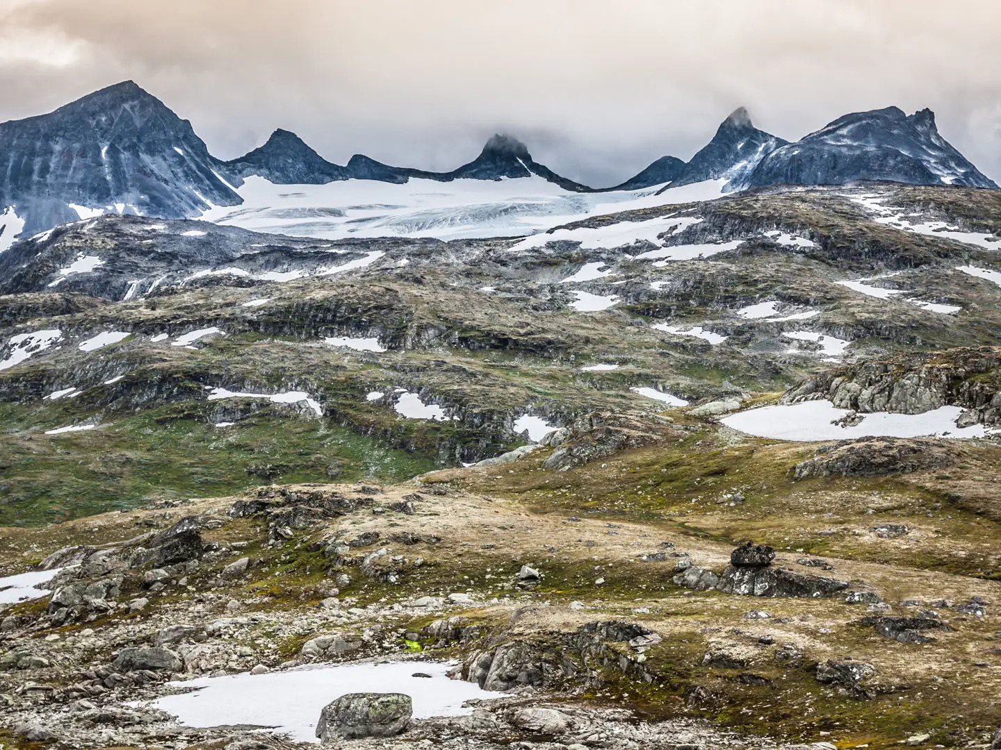
The standard route is an out-and-back from Glitterheim, the staffed DNT lodge on Glittertind’s eastern side at about 1,384 m. Note that reaching Glitterheim is a separate approach: roughly 7 km on foot from the national-park road boundary. From the lodge, the marked path heads north-west over alpine meadow and tundra, then climbs steadily on rock and scree to around 2,250 m. It then turns west across the upper snowfield/former Glitterbreen glacier to the summit. Most hikers return to Glitterheim the same way. A longer, tougher alternative starts at Spiterstulen in Visdalen, climbing via Skautkampan and Skauta, or you can traverse between Glitterheim and Spiterstulen over the summit.
Glittertind, Galdhøpiggen and Norway’s High-Point Debate
Glittertind was first climbed in 1841 by Harald Nicolai Storm Wergeland and local hunter Hans Sletten. For much of the 19th and 20th centuries it was famous for its rivalry with neighbouring Galdhøpiggen: Glittertind’s summit ice cap sometimes measured higher than Galdhøpiggen’s rock summit, creating a long dispute over which mountain was truly Norway’s highest. As Glitterbreen retreated, the ice no longer settled the ranking in Glittertind’s favour. The current glacier-free height is 2,452 m, below Galdhøpiggen’s 2,469 m.
Notable highlights
- Norway’s second-highest summit (2,452 m): Glittertind is beaten only by Galdhøpiggen. The climb gives a serious high-mountain objective without requiring technical climbing in normal summer conditions.
- Vanished summit glacier: The former ice cap once made Glittertind a rival for Norway’s highest mountain. Its retreat has left the summit essentially bare in recent years, making the change visible to hikers.
- Glitterheim lodge (1,384 m): This staffed DNT mountain lodge is the classic eastern base for the ascent. Most hikers stay overnight here before making the summit day.
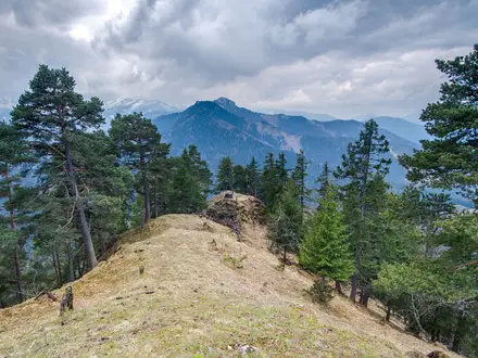
- Jotunheimen panorama: In clear weather the summit looks across the “Home of the Giants”, including Galdhøpiggen and the Smørstabbtindane.
- Glitterbreen / upper snowfield: The broad upper snow slope gives the final approach a high-alpine feel and can remain snow-covered well into summer.
- More Jotunheimen hiking nearby: If you want another demanding day in the same national-park region, see the Besseggen Ridge; for a longer Norwegian plateau route, compare the Hardangervidda Traverse.
Challenges to expect
Expect a sustained climb of over 1,000 m to high altitude, with steep rocky ground, loose stone and exposed upper slopes. Weather can be cold, windy and fast-changing even in summer. Snow near the summit may be firm early in the season or after cold spells, when crampons or microspikes and an ice axe may be useful. Navigation follows DNT red-T markings, but visibility can drop quickly.
HikeList Score
Glittertind Ascent scored 66/100 on HikeList's trail-quality metrics.
See score breakdownHide breakdown
- Ideal length 55
- Balanced challenge 80
- Scenery & wildness 66
- Varied terrain 100
- Accommodation 49
- Food & support 38
- Path quality 98
- Season flexibility 76
Computed from length, challenge, scenery & wildness, terrain variety, accommodation, food & support, path quality and season flexibility.
 Norway
Show more data Show less
- Mountainous
- Alpine Meadow
- Tundra
- Scree
- Snow
- Grass
- Rocky
- Scree
- Snow
- Huts
Photos from hikers
Taken on the trail by people who've reviewed Glittertind Ascent.
Reviews
How would you rate Glittertind Ascent?
Tap a star to start your review — you could be the first.