Mount Iwate Loop
How would you rate Mount Iwate Loop?
Tap a star to share your experience and help other hikers.
Mount Iwate Loop: A Hard Day Hike on Iwate-san
HikeList Score
Mount Iwate Loop scored 78/100 on HikeList's trail-quality metrics.
See score breakdownHide breakdown
- Ideal length 55
- Balanced challenge 74
- Scenery & wildness 98
- Varied terrain 89
- Accommodation 66
- Food & support 75
- Path quality 98
- Season flexibility 76
Computed from length, challenge, scenery & wildness, terrain variety, accommodation, food & support, path quality and season flexibility.
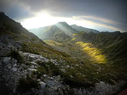
The Mount Iwate Loop is an 11 km, one-day circuit of Iwate-san in Towada-Hachimantai National Park, northern Honshu. Starting at Umagaeshi trailhead near Morioka, it climbs about 1,400 m to Yakushidake, the 2,038 m summit and highest point in Iwate Prefecture. This is a hard hike: expect sustained ascent, loose volcanic scree, rocky ground and fast-changing weather above the treeline. For more routes in the country, see our Japan hiking guide.
Route Overview
The standard loop starts and finishes at Umagaeshi trailhead, also called Yanagisawa, in Takizawa City, about 40 minutes by car from Morioka. The Yanagisawa trail splits around the 2.5th station into an old trail and a new trail, which are commonly combined as an up-one, down-the-other loop. Key points are the 2nd station, 5th station, 8th-station / Fudo-daira shelter, Onari-shimizu spring, the crater rim and Yakushidake summit. It is a waymarked mountain route rather than a village-to-village trail. For a longer northern Honshu walk, compare the Michinoku Coastal Trail; for another hard Japanese summit route, see Kamikochi to Mount Yari Trail.
Volcanic and Sacred History of Mount Iwate
Mount Iwate is an active stratovolcano complex, with the older Nishi-Iwate edifice and the younger Higashi-Iwate cone forming today’s Yakushidake summit. Historical eruptions include activity in 1686–1687 and a larger 1732 eruption that created the Yakehashiri Lava Flow, now a designated Natural Monument. The most recent eruption was in July 1919. Iwate-san has also long been a sacred Shugendo mountain, reflected in the Buddhist statues and shrines found around the crater rim and slopes.
Notable highlights
- Yakushidake summit (2,038 m): The high point of Mount Iwate and the loftiest spot in Iwate Prefecture. On clear days the panorama includes Mt Himekami, Mt Hayachine and distant Mt Chokai.
- Old crater rim: The route follows the rim of the old summit crater. Stone Buddhist statues, including Kannon figures, mark the mountain’s long worship tradition.
- Fudo-daira 8th station: This plateau has the free emergency hut and is a practical rest point about an hour below the summit. The nearby Onari-shimizu spring is the main water source on the route.
- Komakusa alpine flowers: In July, the upper slopes are known for komakusa and other alpine flora. Late September brings autumn colour on the mountain.
- Nanbu Fuji profile: Iwate-san’s symmetrical volcanic cone gives it the nickname Nanbu Fuji, a local comparison with Mount Fuji.
- Volcanic scenery: The hike changes sharply from subalpine forest to bare volcanic gravel, scree and rock near the summit.
Challenges to expect
This is a strenuous day rather than a casual volcano walk. The climb gains about 1,400 m from Umagaeshi to Yakushidake, with loose volcanic gravel and scree that can be slippery, especially on descent. Above the treeline the route is exposed to rapid weather changes. There is no staffed lodge on the loop, so carry food, layers and enough water, using Onari-shimizu only if conditions allow.
HikeList Score
Mount Iwate Loop scored 78/100 on HikeList's trail-quality metrics.
See score breakdownHide breakdown
- Ideal length 55
- Balanced challenge 74
- Scenery & wildness 98
- Varied terrain 89
- Accommodation 66
- Food & support 75
- Path quality 98
- Season flexibility 76
Computed from length, challenge, scenery & wildness, terrain variety, accommodation, food & support, path quality and season flexibility.
Show more data Show less
- Mountainous
- Forest
- Volcanic
- Dirt
- Gravel
- Scree
- Rocky
- Huts
- Hotels
- Pet Friendly
- Restrooms
- Campsites
- Shelters
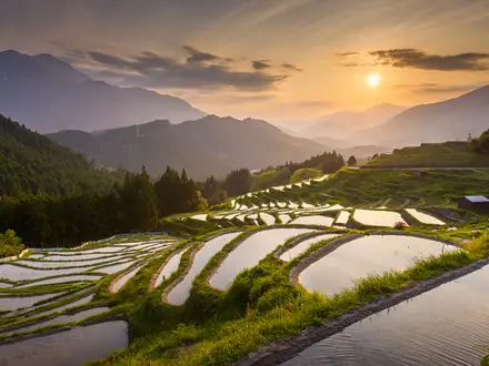
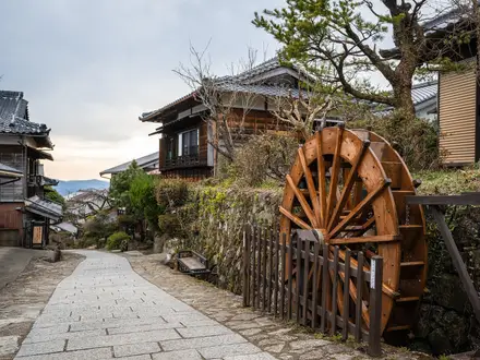
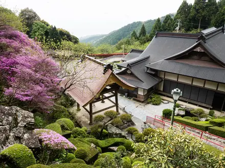
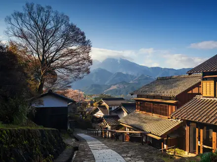
Photos from hikers
Taken on the trail by people who've reviewed Mount Iwate Loop.
Reviews
How would you rate Mount Iwate Loop?
Tap a star to start your review — you could be the first.