Czech Greenways
How would you rate Czech Greenways?
Tap a star to share your experience and help other hikers.
Czech Greenways: Prague to Vienna on Foot
HikeList Score
Czech Greenways scored 85/100 on HikeList's trail-quality metrics.
See score breakdownHide breakdown
- Ideal length 75
- Balanced challenge 90
- Scenery & wildness 74
- Varied terrain 94
- Accommodation 100
- Food & support 88
- Path quality 80
- Season flexibility 89
Computed from length, challenge, scenery & wildness, terrain variety, accommodation, food & support, path quality and season flexibility.
The Czech Greenways, or Greenways Prague-Vienna, is a waymarked long-distance walking and cycling corridor linking Prague with Vienna across southern Bohemia and southern Moravia. The full backbone is about 470 km and takes roughly 18-22 days on foot. It is a moderate route: mostly asphalt lanes, gravel tracks and dirt or forest paths, with rolling hills but no high-mountain terrain. It suits walkers who want historic towns, wine country and flexible town-based stages in Czechia.
Route Overview
The headline route is a point-to-point walk from Prague (Praha) to Vienna (Wien), following a loose “backbone” stitched from KČT signed trails and quiet country roads. Key places on or near the corridor include Tábor, Jindřichův Hradec, Třeboň, Slavonice, Telč, Vranov nad Dyjí and Podyjí National Park, Znojmo, Mikulov, the Pálava Hills and Lednice-Valtice before Vienna. Třebíč sits on a branch, while Český Krumlov and České Budějovice are on a southern branch/loop rather than the main backbone. Some commercial Greenways walks are shorter, train-linked samplers, so check whether you are booking the full route. For shorter Czech options, compare the Hussite Trail or the Elbe River Source Trail.
From Iron Curtain Borderlands to Greenway
The Greenways Prague-Vienna project began in 1990 after the 1989 Velvet Revolution, initiated by a group of Czech-Americans led by Lu Chmielarz. The nonprofit Greenways-Zelené stezky was formed in 1992, and from 1998 the route was developed by the Environmental Partnership Foundation in Brno as part of a wider Czech greenways programme. The corridor follows older salt, silver and amber trade routes through landscapes that had been restricted for about 40 years behind the Iron Curtain.
Notable highlights
- Prague: The Gothic-and-Baroque capital is the northern terminus, with Charles Bridge and Prague Castle making it the usual starting point.
- Tábor: A medieval Hussite town above the Lužnice river, known for defensive streets and the Hussite Museum.
- Třeboň: A South Bohemian chateau town in a historic fishpond and wetland landscape, useful for an atmospheric town-based stage.
- Telč: A UNESCO World Heritage town with a Renaissance square of pastel arcaded houses beside a water-girdled chateau.
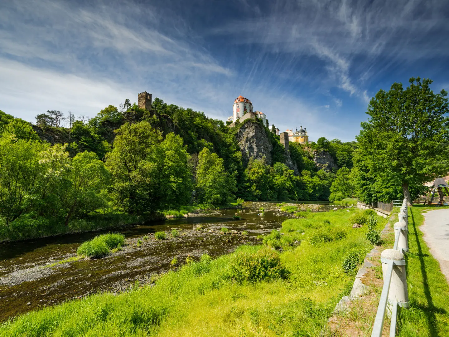
- Podyjí and Znojmo: Vranov nad Dyjí gives access to Podyjí National Park’s wooded Dyje river canyon; Znojmo adds medieval walls, wine and the Rotunda of St Catherine.
- Pálava, Mikulov and Lednice-Valtice: Limestone hills, vineyards and the UNESCO Lednice-Valtice Cultural Landscape mark the southern Moravian finish before Austria.
Challenges to expect
The challenge is distance and consistency rather than altitude. Expect mixed surfaces: asphalt country roads, gravel forest tracks and dirt or field paths that can turn muddy after rain. Branding is loose, so carry current KČT, SHOCart or freytag & berndt mapping and confirm whether your chosen route is the full backbone or a sampler. For more rugged Czech mountain walking, see the Krkonoše Traverse.
HikeList Score
Czech Greenways scored 85/100 on HikeList's trail-quality metrics.
See score breakdownHide breakdown
- Ideal length 75
- Balanced challenge 90
- Scenery & wildness 74
- Varied terrain 94
- Accommodation 100
- Food & support 88
- Path quality 80
- Season flexibility 89
Computed from length, challenge, scenery & wildness, terrain variety, accommodation, food & support, path quality and season flexibility.
 Czechia
Show more data Show less
- River Valley
- Rolling Highlands
- Forest
- Fishpond Country
- Limestone Hills
- Paved
- Gravel
- Dirt
- Hotels
- Guesthouses
- Hostels
- Campsites
- Family Friendly
- Pet Friendly
- Restrooms
- Water Sources
- Campsites
- Picnic Areas
Photos from hikers
Taken on the trail by people who've reviewed Czech Greenways.
Reviews
How would you rate Czech Greenways?
Tap a star to start your review — you could be the first.