Mount Esja Trail
How would you rate Mount Esja Trail?
Tap a star to share your experience and help other hikers.
Mount Esja Trail: Reykjavik’s Local Summit Hike
HikeList Score
Mount Esja Trail scored 69/100 on HikeList's trail-quality metrics.
See score breakdownHide breakdown
- Ideal length 55
- Balanced challenge 74
- Scenery & wildness 98
- Varied terrain 59
- Accommodation 45
- Food & support 52
- Path quality 98
- Season flexibility 89
Computed from length, challenge, scenery & wildness, terrain variety, accommodation, food & support, path quality and season flexibility.
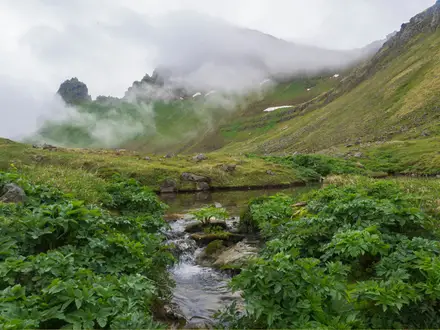
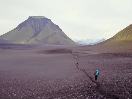
The Mount Esja Trail is a 7 km out-and-back day hike up Esjan, the flat-topped volcanic range north of Reykjavik in Iceland. Starting at Esjurar/Mogilsa beside Route 1, it climbs to Steinn and, for the full route, continues up a steep chain-assisted scramble to Tverfellshorn at 780 m. Treat the full summit route as hard: the lower path is straightforward, but the upper section is rocky, exposed and weather-sensitive. It suits fit hikers wanting a half-day mountain route close to the capital.
Route Overview
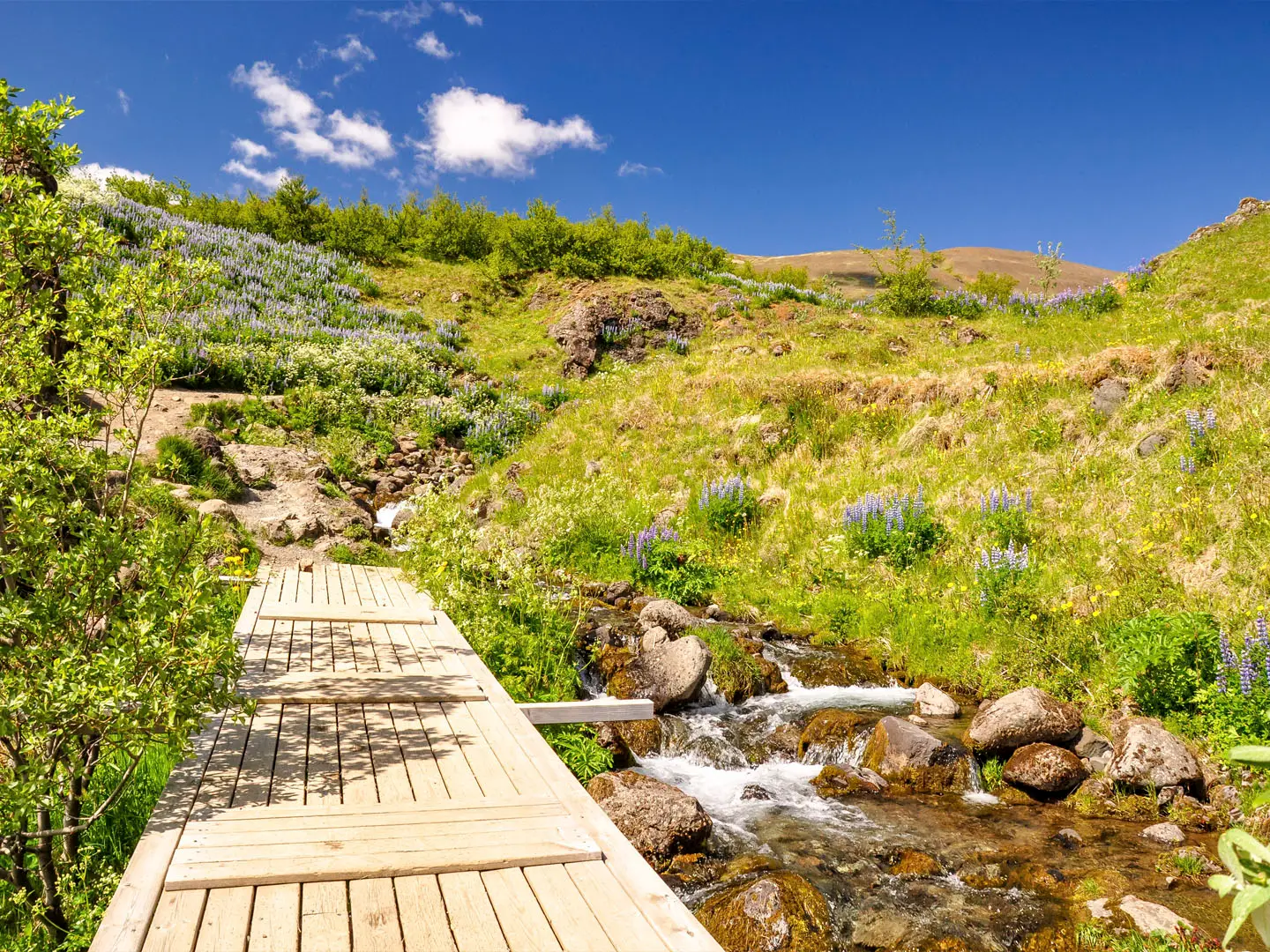
Start and finish at the Esjurar/Mogilsa car park by the Esjustofa visitor area, about 10 km north of Reykjavik and roughly a 20–30 minute drive via Route 1. The standard route is out-and-back: follow the lower gravel and dirt path beside the river, climb steadily to Steinn, then decide whether conditions and confidence are good enough for the harder continuation. Above Steinn, the trail becomes steeper, rockier and more exposed, with fixed steel chains on the final pitch to Tverfellshorn. Return the same way. If you are comparing Iceland hikes, see also the nearby Glymur Waterfall Trail, the Eldborg Crater Loop, the more demanding Fimmvörðuháls Trail or the longer Hornstrandir Trek.
Esja’s Geology and Reykjavik Connection
Esja is a flat-topped volcanic massif, not a single peak, formed in the Pleistocene from basalt and tuff, with paler rhyolite on parts of the eastern summits. Its name is thought to come from an archaic word meaning rock flake or carving stone. The medieval Kjalnesinga saga links the mountain to Esja, an Irish widow and early settler reputed to practise magic, although the place name most likely predated the character. Today it is Reykjavik’s best-known local mountain.
Notable highlights
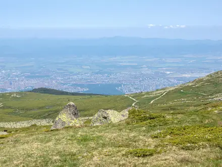
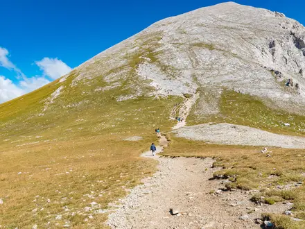
- Steinn (about 600 m): This large boulder is the traditional turnaround for less experienced walkers. It gives the first major view back over Reykjavik and Faxafloi Bay.
- Chain-assisted summit scramble: Above Steinn, the route steepens into rocky, exposed ground where fixed steel chains help on the final pitch. This is the crux of the hike and should be avoided when icy or very slippery.
- Tverfellshorn summit (780 m): The standard high point of the trail, with wide views over the capital, Faxafloi Bay and surrounding fjords. In clear weather, the Snaefellsnes peninsula and Snaefellsjokull glacier can be visible to the west.
- Volcanic geology: Esja’s basalt, tuff and paler rhyolite give the range its layered appearance. The open upper slopes make the mountain feel exposed even though it is close to Reykjavik.
- Reykjavik’s house mountain: Esja dominates the skyline north of the city and is used by locals for evening walks, fitness climbs and snow-line watching through the seasons.
Challenges to expect
The main challenge is the upper section above Steinn: steep, rocky, loose and exposed, with a chain-assisted scramble before Tverfellshorn. Wet rock, snow or ice can make this section hazardous, especially from autumn into spring. The lower route is easier, but the mountain is open and treeless, so wind and fast-changing weather matter. Navigation is simple on the standard waymarked route, but the plateau beyond Tverfellshorn is unmarked and not part of this trail.
HikeList Score
Mount Esja Trail scored 69/100 on HikeList's trail-quality metrics.
See score breakdownHide breakdown
- Ideal length 55
- Balanced challenge 74
- Scenery & wildness 98
- Varied terrain 59
- Accommodation 45
- Food & support 52
- Path quality 98
- Season flexibility 89
Computed from length, challenge, scenery & wildness, terrain variety, accommodation, food & support, path quality and season flexibility.
 Iceland
Show more data Show less
- Mountainous
- Dirt
- Rocky
- Gravel
- Accommodation Not Required
- Family Friendly
- Pet Friendly
- Restrooms
- Picnic Areas
Photos from hikers
Taken on the trail by people who've reviewed Mount Esja Trail.
Reviews
How would you rate Mount Esja Trail?
Tap a star to start your review — you could be the first.