The Angus Glens Circuit
How would you rate The Angus Glens Circuit?
Tap a star to share your experience and help other hikers.
The Angus Glens Circuit: An Informal 2-Day Highlands Walk
HikeList Score
The Angus Glens Circuit scored 84/100 on HikeList's trail-quality metrics.
See score breakdownHide breakdown
- Ideal length 63
- Balanced challenge 80
- Scenery & wildness 98
- Varied terrain 100
- Accommodation 83
- Food & support 74
- Path quality 98
- Season flexibility 89
Computed from length, challenge, scenery & wildness, terrain variety, accommodation, food & support, path quality and season flexibility.
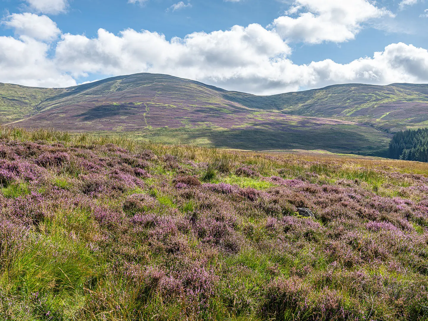
The Angus Glens Circuit is not an official, waymarked trail: this guide describes an informal, self-guided point-to-point walk through the Angus Glens on the south-eastern edge of the Cairngorms National Park in Scotland. The best-supported route is about 32 km over 2 days from Kirkton of Glenisla to Dykehead, linking Glen Isla, Glen Damff, Glen Prosen and Glen Clova. It is hard: expect remote moorland, boggy ground, burn crossings, minimal waymarking and serious mountain weather.
Route Overview
Start at Kirkton of Glenisla in Glen Isla and finish at Dykehead near Cortachy/Kirriemuir, at the mouths of Glen Clova and Glen Prosen. The credible line follows Glenisla Forest into Glen Damff, continues through Glen Prosen, then uses historic rights of way including the Minister’s Path / Minister’s Road and the Kilbo Path to reach Glen Clova and the Glen Doll area before finishing at Dykehead. This is a linear walk, not a loop, so arrange drop-off, pick-up or taxi logistics in advance; no through-route transport details are verified here. For other Scottish options, compare the Annandale Way or Arran Coastal Way.
Historic Rights of Way in the Angus Glens
The Angus Glens have long been crossed by drove roads and hill rights of way linking Strathmore with Deeside and the wider Highlands. Nearby historic lines include Jock’s Road towards Braemar, the Capel Mounth and the Minister’s Road between Glen Prosen and Glen Clova. The glens sit on the southern edge of the Cairngorms and remain working sheep and deer country, where many hill paths still follow practical old routes across moor, pass and glen.
Notable highlights
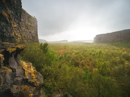
Glen Clova (glacial valley): The best-known of the Angus Glens, Glen Clova is a steep-sided U-shaped valley with the South Esk on its floor and the long-established Glen Clova Hotel near its head.
Minister’s Path / Minister’s Road (historic right of way): This hill crossing links Glen Prosen and Glen Clova. Its name comes from a 19th-century minister who preached at Prosen Church before crossing the moor by pony to preach again at Clova Kirk.
Glen Prosen (quiet pastoral glen): A quieter glen of farmland and woodland, less visited than Glen Clova. It has a memorial to polar explorers Scott and Wilson, who stayed here while preparing for Antarctica.
Corrie Fee National Nature Reserve (optional detour): A classic glacial corrie at the head of Glen Doll, ringed by crags and noted for rare arctic-alpine plants. Treat it as a worthwhile side trip from upper Glen Clova, not part of every core route.
Mayar and Driesh (optional Munros): These Munros above Glen Doll and Glen Clova, Mayar at 928 m and Driesh at 947 m, can be added via the Kilbo Path if conditions, fitness and time allow.
Glen Isla and Glen Damff (western approach): The walk begins by moving from Glenisla Forest towards Glen Damff, a transition from gentler farmed glens into more open hill country.
Challenges to expect
This is rougher and less defined than many named long-distance trails, so do not expect continuous waymarking. Navigation relies on rights of way, estate and forest tracks, open hillside, map, compass and GPS competence; mobile signal is poor. Expect boggy moorland, grassy hill paths, gravel and dirt tracks, burn crossings and fast-changing mountain weather. Late spring to early autumn is best; winter adds snow, short days and serious high-ground conditions. For a different mountain objective, compare the Beinn Eighe Mountain Trail.
HikeList Score
The Angus Glens Circuit scored 84/100 on HikeList's trail-quality metrics.
See score breakdownHide breakdown
- Ideal length 63
- Balanced challenge 80
- Scenery & wildness 98
- Varied terrain 100
- Accommodation 83
- Food & support 74
- Path quality 98
- Season flexibility 89
Computed from length, challenge, scenery & wildness, terrain variety, accommodation, food & support, path quality and season flexibility.
 United Kingdom
 Scotland
Show more data Show less
- Mountainous
- Moorland
- Forest
- River Valley
- Dirt
- Gravel
- Grassy Hill Paths
- Boggy Ground
- Wild Camping Spots
- Hostels
- Hotels
- Pet Friendly
- Water Sources
- Campsites
Photos from hikers
Taken on the trail by people who've reviewed The Angus Glens Circuit.
Reviews
How would you rate The Angus Glens Circuit?
Tap a star to start your review — you could be the first.