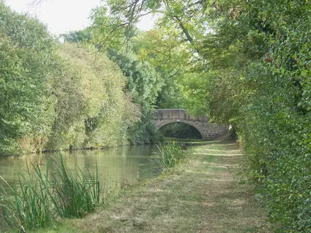
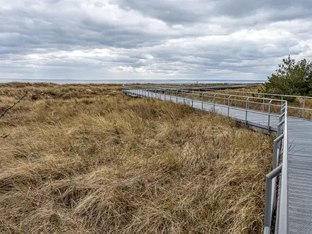
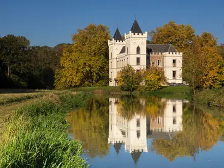
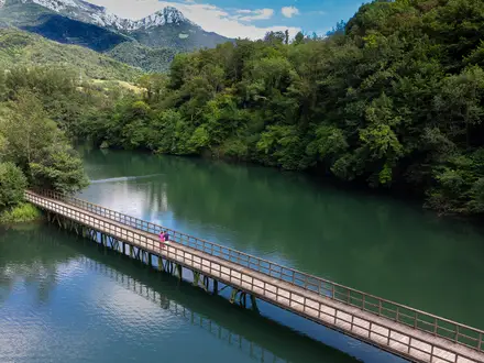
Parenzana Trail (Slovenian Section)
How would you rate Parenzana Trail (Slovenian Section)?
Tap a star to share your experience and help other hikers.
Parenzana Trail Slovenia: Coastal Railbed Walk
HikeList Score
Parenzana Trail (Slovenian Section) scored 75/100 on HikeList's trail-quality metrics.
See score breakdownHide breakdown
- Ideal length 55
- Balanced challenge 50
- Scenery & wildness 98
- Varied terrain 76
- Accommodation 83
- Food & support 88
- Path quality 71
- Season flexibility 76
Computed from length, challenge, scenery & wildness, terrain variety, accommodation, food & support, path quality and season flexibility.
The Parenzana Trail Slovenian Section is a 32 km, easy point-to-point walk or cycle route along the former narrow-gauge Parenzana railway on the Slovenia coast. It runs from Skofije near the Italian border to the Secovlje salt pans by the Croatian border, usually completed in 1 day. Expect gentle railway gradients, paved and gravel surfaces, tunnels, coastal towns, vineyards, olive groves and salt marshes. It suits walkers wanting a low-level, well-waymarked Istrian route rather than a mountain trek.
Route Overview
The route follows the old Parenzana line south from Skofije through Dekani, Koper, Semedela, Izola, Strunjan, Portoroz and Lucija to Secovlje near the Dragonja river and Croatian border. It is a linear, point-to-point trail and can be walked in either direction, though Skofije to Secovlje is the common north-to-south line. Waymarking uses dedicated Parenzana “Route of Health and Friendship” signs, and the Slovenian coastal section also overlaps EuroVelo 8. Plan point-to-point logistics rather than a loop; coastal towns such as Koper, Izola and Portoroz/Lucija make practical bases. For more Slovenia trip ideas, compare the Idrija Mercury Trail, Drava River Trail (Dravska Pot) or European Long-Distance Path E6.
From Narrow-Gauge Railway to Cross-Border Trail
The Parenzana, also called Porecanka in Slovene, was a 760 mm narrow-gauge railway built under Austria-Hungary. Its first run was on 1 April 1902, and the Trieste–Porec line operated until closure on 31 August 1935, after which buses replaced it. The railway carried salt from the Piran and Secovlje pans, Istrian wine and olive oil, stone, timber and passengers. Around the railway’s centenary in the 2000s, the trackbed was revived with European Union support as the cross-border “Route of Health and Friendship”.
Notable highlights
- Valeta tunnel (about 544 m): The longest tunnel on the entire Parenzana cuts through the Lucan/Strunjan hill between Strunjan and Portoroz. It has been restored for walkers and cyclists and is often lit.
- Salet tunnel (roughly 244 m): This former railway tunnel between Izola and Strunjan is one of the Slovenian Parenzana tunnels now reused as a practical scenic shortcut.
- Secovlje Salina Nature Park: These are the Mediterranean’s northernmost salt pans, with salt hand-harvested here since the 13th century. The park includes the still-working Lera section and the Fontanigge section with the Museum of Salt-making; entry is separate from the free trail.
- Koper, Izola, Piran and Portoroz: The route links Slovenia’s Venetian-Istrian coast, with historic port towns and resort sections adding easy food, accommodation and sea-view stops.
- Strunjan landscape park: The trail skirts Strunjan Nature Park, known for protected salt pans, flysch cliffs and views over the Gulf of Trieste.
- Vineyards and olive groves of Slovenian Istria: Between towns, the old line passes the terraced agricultural landscapes that supplied produce the railway once carried to market.
Challenges to expect
The trail is easy underfoot, but 32 km is still a long single-day walk. Summer heat on the coast can make exposed paved sections uncomfortable; spring and autumn are better. Surfaces are mostly paved with some gravel or macadam woodland stretches, and the route is shared with cyclists. Navigation is straightforward thanks to Parenzana signs and EuroVelo 8 overlap, but check you are following the canonical 32 km Parenzana line rather than longer cycling variants.
HikeList Score
Parenzana Trail (Slovenian Section) scored 75/100 on HikeList's trail-quality metrics.
See score breakdownHide breakdown
- Ideal length 55
- Balanced challenge 50
- Scenery & wildness 98
- Varied terrain 76
- Accommodation 83
- Food & support 88
- Path quality 71
- Season flexibility 76
Computed from length, challenge, scenery & wildness, terrain variety, accommodation, food & support, path quality and season flexibility.
 Slovenia
Show more data Show less
- Coastal
- Hills
- Forest
- Paved
- Gravel
- Hotels
- Guesthouses
- Campsites
- Family Friendly
- Pet Friendly
- Restrooms
- Water Sources
- Picnic Areas
- Campsites
Photos from hikers
Taken on the trail by people who've reviewed Parenzana Trail (Slovenian Section).
Reviews
How would you rate Parenzana Trail (Slovenian Section)?
Tap a star to start your review — you could be the first.