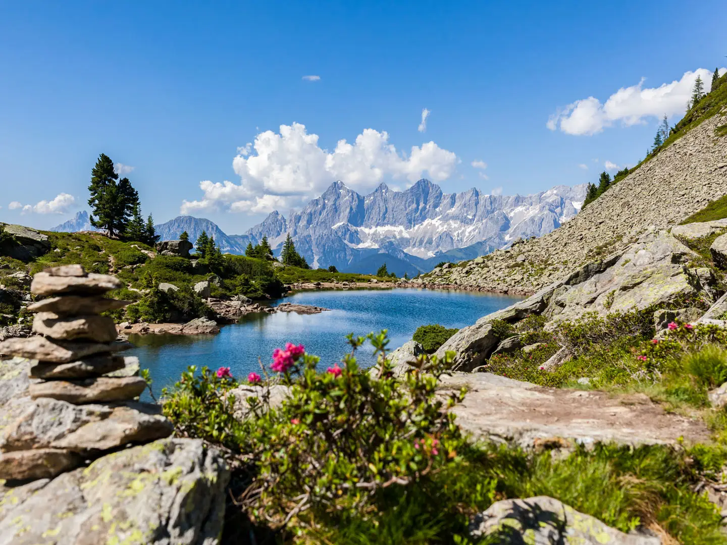
Zentralalpenweg (Central Alpine Way, Trail 02)
How would you rate Zentralalpenweg (Central Alpine Way, Trail 02)?
Tap a star to share your experience and help other hikers.
Zentralalpenweg: Austria’s Full East–West Alpine Traverse
HikeList Score
Zentralalpenweg (Central Alpine Way, Trail 02) scored 74/100 on HikeList's trail-quality metrics.
See score breakdownHide breakdown
- Ideal length 52
- Balanced challenge 44
- Scenery & wildness 98
- Varied terrain 77
- Accommodation 83
- Food & support 81
- Path quality 98
- Season flexibility 76
Computed from length, challenge, scenery & wildness, terrain variety, accommodation, food & support, path quality and season flexibility.
The Zentralalpenweg, officially Österreichischer Weitwanderweg 02 or “02er”, is a roughly 1,200 km point-to-point thru-hike across Austria, from Hainburg an der Donau near the Slovak border to Feldkirch near Liechtenstein and Switzerland. Allow 57–72 walking days. It is an expert route overall: the eastern sections are more moderate, but the western main route crosses high-alpine terrain, glaciers and passes above 3,000 m. It suits experienced long-distance hikers with navigation skill, surefootedness and glacier competence.
Route Overview
The route starts at Hainburg an der Donau by the Danube and heads west along Austria’s central Alpine main ridge to Feldkirch in Vorarlberg. Early stages pass Donau-Auen National Park, the Hainburg hills, the Fischbacher Alpen, Gleinalpe and the landmark Hochschwab massif before reaching Knittelfeld and the Niedere Tauern. From there the trail continues through the Seckauer, Schladminger and Radstädter Tauern, splits near Tappenkarsee, and enters the Hohe Tauern, Venedigergruppe, Zillertal, Tuxer, Stubai and Ötztal Alps, then the Samnaun group, Verwall, Silvretta and Rätikon. For shorter Austrian mountain options, compare the Hohe Tauern Panorama Trail, Eagle Walk and Carnic High Trail.
How the Zentralalpenweg Became Trail 02
The Zentralalpenweg grew from Robert Wurst’s 1975 plan for an Austrian national long-distance trail network, the Österreichisches Weitwander-Wegenetz. Each route had to be at least 300 km long and cross at least three federal states; ten national trails were realised by the early 1980s. Weitwanderweg 02 opened on 18 June 1978 on the Steirisches Alpl. It is maintained by the Sektion Weitwanderer of the Österreichischer Alpenverein and remains the longest of Austria’s ten national long-distance trails.
Notable highlights
- Hohe Tauern National Park: The largest national park in the Alps, and the setting for the trail’s high western main route through glaciated terrain, 3,000 m peaks and classic Alpine wildlife habitat.
- Venedigerscharte (~3,407 m): The highest point of the trail proper, a glaciated saddle in the Venedigergruppe requiring rope, crampons and glacier experience on the main 02 route.
- Großvenediger (3,666 m): One of Austria’s highest glaciated peaks, reached as an optional summit from the route with relatively little extra effort for capable alpinists.
- Hoher Sonnblick (3,106 m): A Hohe Tauern landmark on the route, topped by the Zittelhaus and a historic high-altitude weather observatory operating since 1886.
- Niedere Tauern and Tauernhöhenweg: A classic hut-to-hut ridge section through the Seckauer, Schladminger and Radstädter Tauern, linking Alpine Club huts without frequent valley drops.
- Donau-Auen National Park: The eastern start lies beside this protected Danube floodplain near Hainburg before the route turns into the Austrian mountains.
Challenges to expect
Expect a huge cumulative ascent of around 70,000 m and a sharp change in character: forest, farmland and grass mountains in the east, then rock, scree, gravel tracks, permanent snow and glacier in the west. The main 02 route requires surefootedness, a head for heights, navigation skill and glacier equipment. July to September is the main season; bad weather can make the high-alpine sections dangerous. A glacier-free 02A variant avoids the glacier sections.
HikeList Score
Zentralalpenweg (Central Alpine Way, Trail 02) scored 74/100 on HikeList's trail-quality metrics.
See score breakdownHide breakdown
- Ideal length 52
- Balanced challenge 44
- Scenery & wildness 98
- Varied terrain 77
- Accommodation 83
- Food & support 81
- Path quality 98
- Season flexibility 76
Computed from length, challenge, scenery & wildness, terrain variety, accommodation, food & support, path quality and season flexibility.
 Austria
Show more data Show less
- Mountainous
- Forest
- Rocky
- Dirt
- Gravel
- Snow
- Huts
- Hotels
- Hostels
- Pet Friendly
- Water Sources
- Campsites
- Shelters
Photos from hikers
Taken on the trail by people who've reviewed Zentralalpenweg (Central Alpine Way, Trail 02).
Reviews
How would you rate Zentralalpenweg (Central Alpine Way, Trail 02)?
Tap a star to start your review — you could be the first.