Szeged to Ópusztaszer Trail
How would you rate Szeged to Ópusztaszer Trail?
Tap a star to share your experience and help other hikers.
Szeged to Ópusztaszer Trail: Flat Great Plain Link-Walk
HikeList Score
Szeged to Ópusztaszer Trail scored 72/100 on HikeList's trail-quality metrics.
See score breakdownHide breakdown
- Ideal length 55
- Balanced challenge 50
- Scenery & wildness 74
- Varied terrain 100
- Accommodation 83
- Food & support 75
- Path quality 89
- Season flexibility 89
Computed from length, challenge, scenery & wildness, terrain variety, accommodation, food & support, path quality and season flexibility.
The Szeged to Ópusztaszer Trail is best understood as a flat point-to-point link-walk in southern Hungary, not a standalone official trail. The direct version is about 24–25 km and fits into 1 day, with easy terrain but long exposed sections across the Southern Great Plain. It suits hikers who want a cultural finish at Ópusztaszer National Heritage Park and are comfortable navigating farm tracks, sandy paths and partly unmarked field sections.
Route Overview
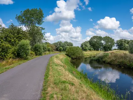
Start in Szeged, a major city on the River Tisza near the Maros confluence, and walk north-west towards Ópusztaszer National Heritage Park in the Pusztaszer Landscape Protection Area. The corridor crosses open farmland, meadows, small Great Plain settlements and planted forest blocks. There is no dedicated “Szeged–Ópusztaszer” waymarking; the official blue “K” marks of the Alföld Blue Trail apply on the later Sándorfalva–Ópusztaszer section, which is about 20 km. A full Blue-Trail-style route via Szatymaz and Sándorfalva is considerably longer than the direct 24–25 km line, so check your GPX before committing.
Ópusztaszer, Árpád and the Pusztaszer Assembly Tradition
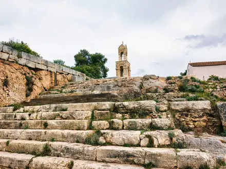
Ópusztaszer is linked to the national tradition of the Pusztaszer assembly, associated with the Magyar land-taking of c. 895 under Grand Prince Árpád. A Benedictine monastery stood at Szer from around the 12th century, and its ruins are preserved within today’s heritage park. The site later developed into a market town before destruction during the Ottoman period. Szeged, the gateway city, was extensively rebuilt after the 1879 Tisza flood.
Notable highlights
- Szeged and the Tisza riverbank: Begin in one of Hungary’s largest cities, on the River Tisza. The riverside and nearby wetlands give a strong sense of the lowland landscape before the route turns north-west.
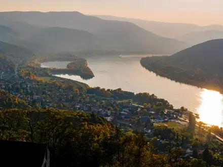
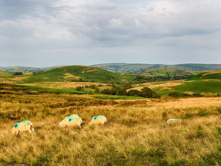
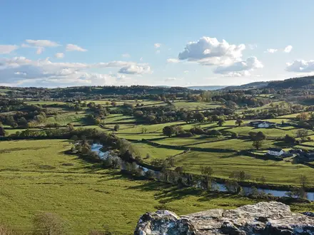
- Open puszta landscape: Expect wide skies, arable fields, meadows and isolated farmsteads, typical of the Hungarian Alföld. The exposure is part of the character, but it also makes heat and wind more noticeable.
- Pusztaszer Landscape Protection Area and forests: The Blue-Trail corridor passes through the Vöröscsárda, Hantháza and Pusztaszer forests and near the Nádas-tó wetland. This protected mosaic of plain, woodland and water is valued for birdlife.
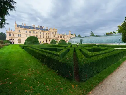
- Ópusztaszer National Heritage Park: The destination is a large open-air heritage park on the traditional Pusztaszer assembly site. It includes the ruins of the medieval Szer monastery, an ethnographic open-air museum and an Árpád monument.
- Feszty Panorama: The park’s main exhibit is Árpád Feszty’s monumental cyclorama, completed in 1894, depicting the Hungarian conquest of the Carpathian Basin. It is 15 m tall and 120 m around.
Challenges to expect
The walk is physically easy but exposed. Main issues are distance, summer heat, limited shade, soft sandy tracks and mud after rain. Navigation matters: Szeged is not directly on the Alföld Blue Trail, and direct field sections are not independently waymarked. Carry a map or GPS, especially before joining the blue “K” waymarks. For contrasting Hungarian terrain, compare the Aggtelek National Park Trail or Bükk National Park Trail.
HikeList Score
Szeged to Ópusztaszer Trail scored 72/100 on HikeList's trail-quality metrics.
See score breakdownHide breakdown
- Ideal length 55
- Balanced challenge 50
- Scenery & wildness 74
- Varied terrain 100
- Accommodation 83
- Food & support 75
- Path quality 89
- Season flexibility 89
Computed from length, challenge, scenery & wildness, terrain variety, accommodation, food & support, path quality and season flexibility.
 Hungary
Show more data Show less
- Plain
- Farmland
- Meadows
- Forest
- Wetland Margins
- Paved
- Gravel
- Farm Tracks
- Forest Tracks
- Sand
- Mud
- Hotels
- Guesthouses
- Campsites
- Family Friendly
- Pet Friendly
- Restrooms
- Campsites
- Picnic Areas
Photos from hikers
Taken on the trail by people who've reviewed Szeged to Ópusztaszer Trail.
Reviews
How would you rate Szeged to Ópusztaszer Trail?
Tap a star to start your review — you could be the first.