Trent Valley Way
How would you rate Trent Valley Way?
Tap a star to share your experience and help other hikers.
Trent Valley Way: River Trent Thru-Hike Guide
HikeList Score
Trent Valley Way scored 81/100 on HikeList's trail-quality metrics.
See score breakdownHide breakdown
- Ideal length 100
- Balanced challenge 50
- Scenery & wildness 58
- Varied terrain 100
- Accommodation 100
- Food & support 88
- Path quality 84
- Season flexibility 89
Computed from length, challenge, scenery & wildness, terrain variety, accommodation, food & support, path quality and season flexibility.
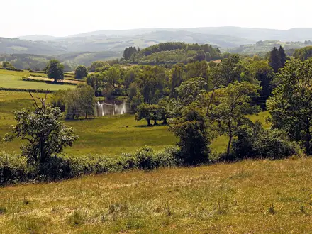
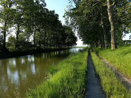
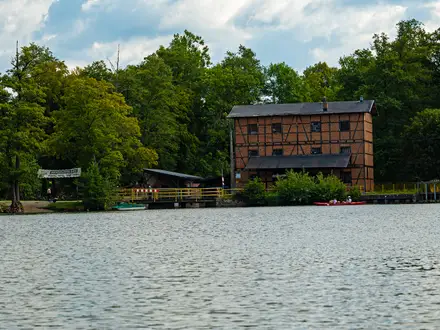
The Trent Valley Way is a 174 km / 108 mile waymarked walk through England, following the River Trent from Trent Lock / Shardlow to Alkborough above the Humber. Allow 6-8 days. It is an easy, low-gradient point-to-point route suited to hikers who want a long riverside trail without mountain terrain. Expect grassy flood banks, meadows, farm fields, canal towpaths and urban walking through Nottingham, with the main challenge coming from distance, mud and winter flood risk.
Route Overview
The established waymarked route starts at Trent Lock / Shardlow, near Long Eaton, where the Trent, Soar and Erewash meet, then heads broadly north and north-east downstream. It passes Attenborough Nature Reserve, Beeston Canal, Nottingham, Holme Pierrepont, Radcliffe on Trent, Gunthorpe, Newark-on-Trent, Cromwell Lock and Weir, Gainsborough, West Stockwith, Keadby and Burton upon Stather / Flixborough before ending at Julian's Bower in Alkborough. This is a point-to-point walk, not a loop, so plan start/end transport and overnight stops in advance. For other Midlands and eastern England long trails, compare the Viking Way, Ouse Valley Way or the canal-focused Ashby Canal Trail.
History of the Trent Valley Way
The Trent Valley Way was created in 1998 to mark the centenary of Nottinghamshire County Council. The original route ran about 84 miles between southern starts at Thrumpton / Attenborough and West Stockwith near Gainsborough. It was later consolidated to Trent Lock and extended through North Lincolnshire to Alkborough, with a 36-mile / 58 km extension confirmed in 2012. A wider source-to-sea route from Biddulph Moor to the Humber is being developed, but it is not the current continuous waymarked trail.
Notable highlights
- Attenborough Nature Reserve: A wetland reserve of former gravel pits beside the Trent near Nottingham, rich in waterfowl and a popular early section of the walk. It is also one of the easier access points, reachable directly by train from Nottingham.
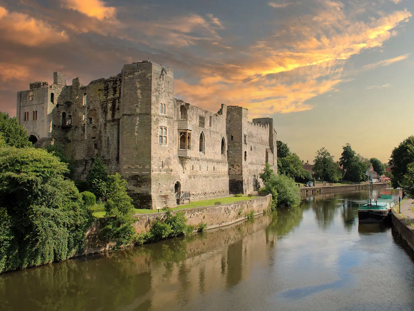
- Newark Castle: The route passes the riverside ruins of this 12th-century stronghold at Newark-on-Trent. King John died here in 1216, and the castle was later besieged during the English Civil War.
- Cromwell Lock and Weir: North of Newark, Cromwell Weir marks the tidal limit of the Trent. Below this point, the river is tidal all the way to the Humber.
- Gainsborough Old Hall: Near the route in Gainsborough, this medieval timber-framed manor house sits in a town once important as an inland port on the tidal Trent.
- Julian's Bower, Alkborough: The walk ends at this historic turf maze on the hillside above Trent Falls. It gives a natural finish above the meeting of the Trent and Ouse.
- Trent Falls and the Humber: The northern end reaches the shifting confluence where the Trent and Ouse form the Humber estuary, the river's natural source-to-sea endpoint.
Challenges to expect
The Trent Valley Way is easy underfoot in gradient terms, but it is still a 174 km walk. Much of the route is on grass, dirt, gravel, field edges and flood embankments, so mud and waterlogging are common after rain, especially in winter. Some riverside sections may flood. Navigation is generally straightforward because the path usually stays close to the Trent, but facilities are sparser on rural stretches and across the Isle of Axholme.
HikeList Score
Trent Valley Way scored 81/100 on HikeList's trail-quality metrics.
See score breakdownHide breakdown
- Ideal length 100
- Balanced challenge 50
- Scenery & wildness 58
- Varied terrain 100
- Accommodation 100
- Food & support 88
- Path quality 84
- Season flexibility 89
Computed from length, challenge, scenery & wildness, terrain variety, accommodation, food & support, path quality and season flexibility.
 United Kingdom
 England
Show more data Show less
- River Valley
- Flood Embankments
- Meadows
- Farm Fields
- Canal Towpath
- Urban
- Grass
- Dirt
- Gravel
- Paved
- Hotels
- Inns
- B&Bs
- Campsites
- Family Friendly
- Pet Friendly
- Restrooms
- Water Sources
- Campsites
- Picnic Areas
Photos from hikers
Taken on the trail by people who've reviewed Trent Valley Way.
Reviews
How would you rate Trent Valley Way?
Tap a star to start your review — you could be the first.