Krutynia River Trail
How would you rate Krutynia River Trail?
Tap a star to share your experience and help other hikers.
Krutynia River Trail: Masuria’s Classic Canoe Route
HikeList Score
Krutynia River Trail scored 86/100 on HikeList's trail-quality metrics.
See score breakdownHide breakdown
- Ideal length 98
- Balanced challenge 60
- Scenery & wildness 98
- Varied terrain 80
- Accommodation 83
- Food & support 88
- Path quality 92
- Season flexibility 89
Computed from length, challenge, scenery & wildness, terrain variety, accommodation, food & support, path quality and season flexibility.
The Krutynia River Trail is a 102 km point-to-point canoe and kayak route through the Masurian Lake District in north-eastern Poland. It runs from Sorkwity to Ruciane-Nida through the Piska Forest and Masurian Landscape Park, linking clear river sections with around 20 lakes. The route is easy and beginner-friendly, with gentle current and no whitewater, but the full journey still takes stamina: plan 7 to 9 days for the complete paddling route, or choose a shorter day section from Krutyń.
Route Overview
The classic direction starts at the water tower in Sorkwity, on Lake Lampackie, and finishes at Ruciane-Nida. From there the water trail threads lakes, small rivers and canals via places including Bieńki, Babięta, Spychowo, Zgon, Krutyń, Ukta and Nowy Most. Krutyń is the main paddling base and the best-known village on the route, with many kayak operators. Most people organise kayak or canoe hire, transfers and camping through local providers or a guided spływ kajakowy. If you prefer forest and water routes elsewhere in Poland, compare it with the Drawa National Park Trail, the Białowieża Forest Trails or the long-distance Green Velo Trail.
History of the Krutynia water route
The Masurian lakes and the Krutynia area were settled in antiquity by the Old Prussians. Until 1945 this region was part of East Prussia under Prussian and German rule, when many of the mills, sluices and dams along the river were built. From the late 19th century, German visitors helped turn the Great Masurian Lakes into a holiday destination, and Krutyń became a noted resort village. Organised rafting and paddling on the Krutynia date from those pre-war years; today the PTTK maintains the marked water route and marina network.
Notable highlights
- Krutyń village: The signature village of the route and its main paddling base, set on one of the clearest stretches of the river with many kayak operators.
- Krutyń to Ukta day section: The most popular short paddle: about 14 km / 4 hours on shallow, clear, slow-moving water, suitable for families and complete beginners.
- Lake Mokre: One of the largest, deepest and clearest lakes on the route, lying within the Piska Forest and Masurian Landscape Park.
- Piska Forest (Puszcza Piska): One of Poland’s biggest forests, giving much of the route a quiet pine and mixed-woodland setting with rich birdlife.
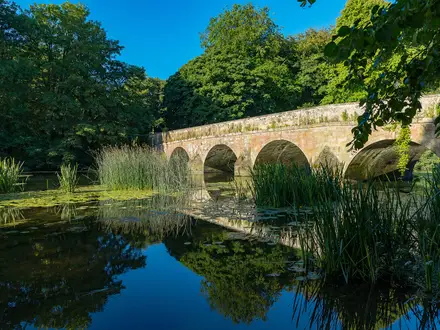
- Crystal-clear, spring-fed water: The Krutynia is known for clear water, water lilies and water soldiers (Stratiotes), a major part of its reputation as a classic European canoe route.
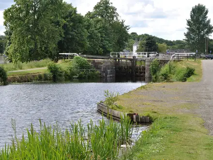
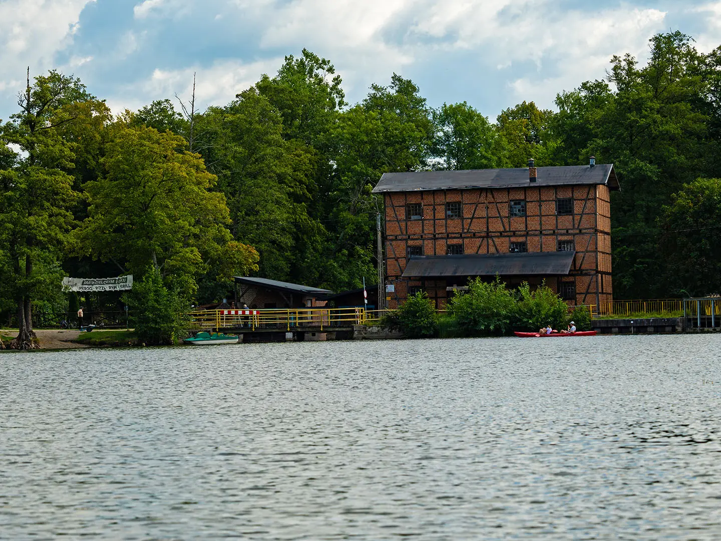
- Historic mills, sluices and weirs: Old hydro-engineering features from the Prussian era create short portages between sections of river, lake and canal.
Challenges to expect
This is an easy water trail, not a walking route, but the full 102 km still requires steady paddling over several days. Expect slow lake water, reedy sections, gentle bends and several short carries around weirs, mills and low bridges. July and August are busiest, especially near Krutyń. Sections pass through nature reserves, so landing may be restricted: stay on the water and follow local signage.
HikeList Score
Krutynia River Trail scored 86/100 on HikeList's trail-quality metrics.
See score breakdownHide breakdown
- Ideal length 98
- Balanced challenge 60
- Scenery & wildness 98
- Varied terrain 80
- Accommodation 83
- Food & support 88
- Path quality 92
- Season flexibility 89
Computed from length, challenge, scenery & wildness, terrain variety, accommodation, food & support, path quality and season flexibility.
 Poland
Show more data Show less
- Lakes
- River
- Forest
- Wetland
- Water
- Campsites
- Hostels
- Guesthouses
- Family Friendly
- Pet Friendly
- Restrooms
- Water Sources
- Campsites
- Picnic Areas
Photos from hikers
Taken on the trail by people who've reviewed Krutynia River Trail.
Reviews
How would you rate Krutynia River Trail?
Tap a star to start your review — you could be the first.