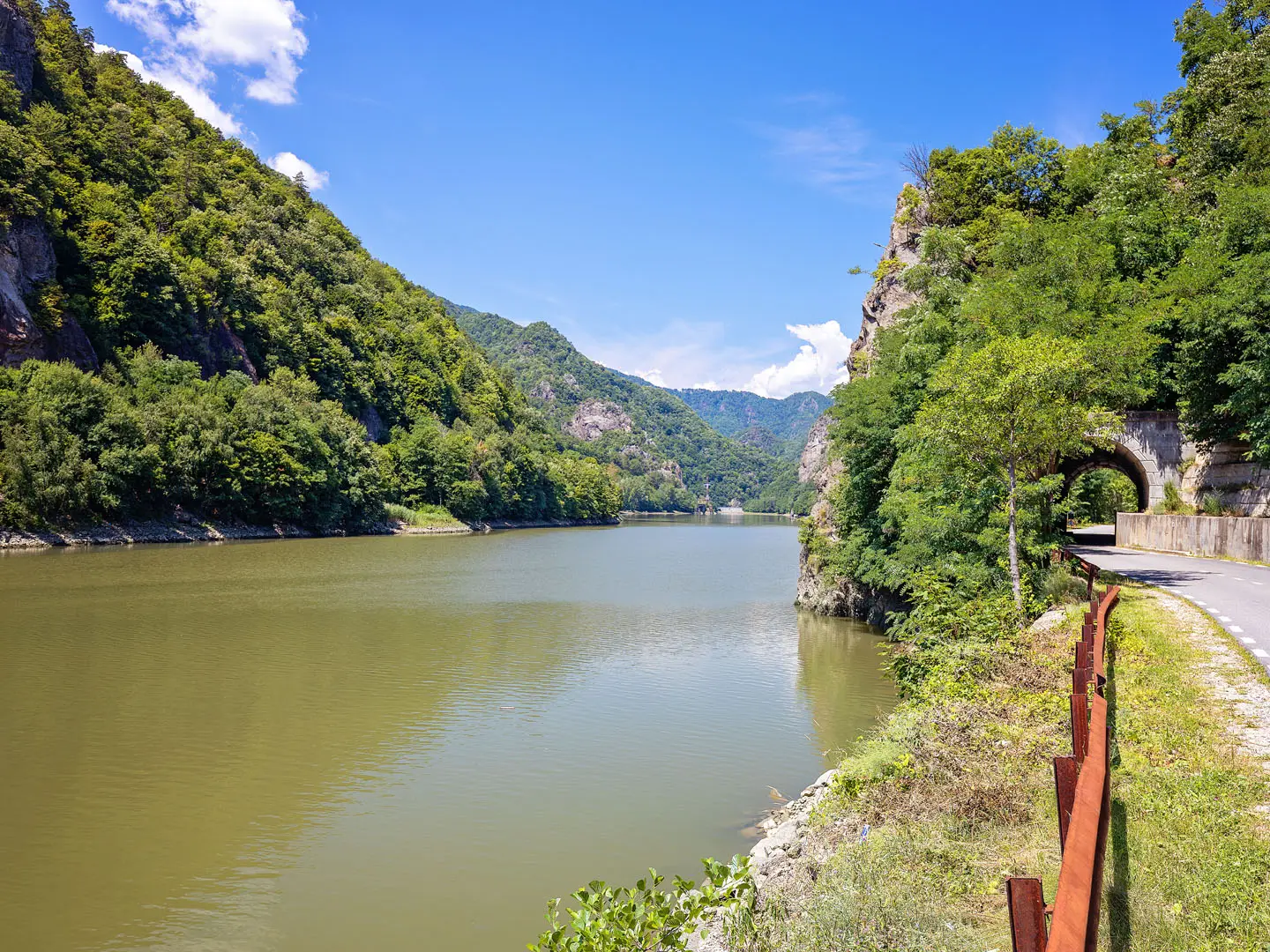
Transylvanian Alps Traverse
How would you rate Transylvanian Alps Traverse?
Tap a star to share your experience and help other hikers.
Transylvanian Alps Traverse: Făgăraș Ridge Hiking Guide
HikeList Score
Transylvanian Alps Traverse scored 77/100 on HikeList's trail-quality metrics.
See score breakdownHide breakdown
- Ideal length 100
- Balanced challenge 44
- Scenery & wildness 85
- Varied terrain 89
- Accommodation 67
- Food & support 65
- Path quality 98
- Season flexibility 76
Computed from length, challenge, scenery & wildness, terrain variety, accommodation, food & support, path quality and season flexibility.
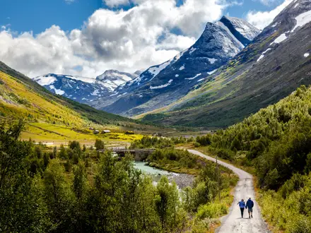
The Transylvanian Alps Traverse is the classic 90 km high-ridge walk across the Făgăraș Mountains in Romania, the highest range of the Southern Carpathians. Most hikers take about 7 days, though fast and slower itineraries vary with weather, fitness and hut detours. This is an expert, point-to-point route: sustained ground above 2,000 m, exposed scrambling, cabled sections, navigation demands and limited water on the crest. It suits experienced alpine walkers with a head for heights.
Route Overview
The traverse follows the red-band waymarking along the main Făgăraș crest. It is most commonly walked west to east, starting from the Avrig / Turnu Roșu side of the Olt valley near Sibiu and finishing towards Plaiul Foii / Zârnești on the Brașov side, or by descending south. Bâlea Lake is the key mid-route access and resupply point, reached by the Transfăgărășan road and cable car when operating. The route links major peaks including Negoiu, Viștea Mare and Moldoveanu. For a shorter Bâlea-based walk, see Bâlea Lake to Bâlea Waterfall; for wider Romanian ridge context, compare the Carpathian Ridge Trail or the Bucegi Plateau Circuit.
Făgăraș: Romania’s Classic High Ridge
The Făgăraș crest is a Romanian mountaineering classic, popularised through the 20th century and long treated as a rite of passage by local hikers. The range forms the historic divide between Transylvania to the north and Wallachia to the south. Old shepherd and trans-Carpathian routes run through the valleys, and traditional summer sheepfolds, known as stâne, still operate on the flanks below the main ridge.
Notable highlights
Moldoveanu Peak (2,544 m): The highest mountain in Romania and the headline summit of the traverse. It sits off the main crest beside Viștea Mare, so expect a focused summit push rather than a casual pass-by.
Negoiu (2,535 m): Romania’s second-highest mountain and one of the most dramatic sections of the Făgăraș ridge. The approach uses Strunga Doamnei; Strunga Dracului is permanently closed because of rockfall.
Custura Sărății: The crux of the route west of Negoiu, between Șerbota and Șaua Cleopatrei. This roughly 1 km jagged crest is equipped with steel cables and chains and is the most exposed part of the traverse.
Bâlea Lake (~2,034 m): The main access and resupply point on the crest, reached by the Transfăgărășan road and cable car when open. It is also the largest glacial lake in the range.
Călțun Lake (~2,135 m): A high glacial lake with a refuge beside it. It is an important overnight and water point on a demanding western section.
Podragu Lake and Cabana Podragu: A classic hut-and-lake stop below the crest. Reaching staffed cabanas often means descending from the ridge and climbing back up the next day.
Challenges to expect
Expect sustained alpine terrain, long dry stretches on the crest, fast-changing weather and real exposure. The western half around Negoiu and Custura Sărății is rockier and more technical than the gentler grassy eastern crest. Late snow can linger on north-facing slopes into early summer. Huts are often lower off the ridge, so using them adds descent and re-ascent.
HikeList Score
Transylvanian Alps Traverse scored 77/100 on HikeList's trail-quality metrics.
See score breakdownHide breakdown
- Ideal length 100
- Balanced challenge 44
- Scenery & wildness 85
- Varied terrain 89
- Accommodation 67
- Food & support 65
- Path quality 98
- Season flexibility 76
Computed from length, challenge, scenery & wildness, terrain variety, accommodation, food & support, path quality and season flexibility.
 Romania
Show more data Show less
- Mountainous
- High Alpine
- Forest
- Rocky
- Dirt
- Grass
- Scree
- Huts
- Refuges
- Wild Camping Spots
- Pet Friendly
- Water Sources
- Campsites
- Shelters
In these collections
Photos from hikers
Taken on the trail by people who've reviewed Transylvanian Alps Traverse.
Reviews
How would you rate Transylvanian Alps Traverse?
Tap a star to start your review — you could be the first.