Rheingau Riesling Path
How would you rate Rheingau Riesling Path?
Tap a star to share your experience and help other hikers.
Rheingau Riesling Path: A Vineyard Walk Through Hesse
HikeList Score
Rheingau Riesling Path scored 84/100 on HikeList's trail-quality metrics.
See score breakdownHide breakdown
- Ideal length 78
- Balanced challenge 100
- Scenery & wildness 98
- Varied terrain 59
- Accommodation 74
- Food & support 81
- Path quality 80
- Season flexibility 89
Computed from length, challenge, scenery & wildness, terrain variety, accommodation, food & support, path quality and season flexibility.
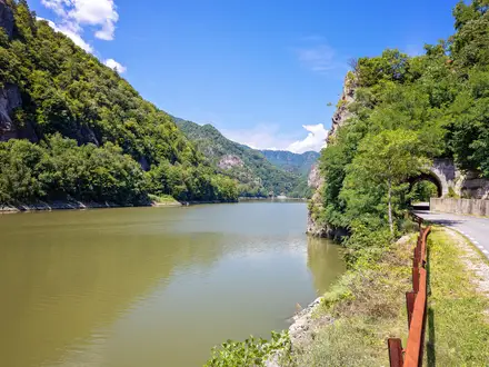
The Rheingau Riesling Path (Rheingauer Rieslingpfad) is a 90 km point-to-point hike through the Rheingau wine region in Hesse, western Germany. Allow 4 days for this moderate route from Wicker, near Flörsheim am Main, to Kaub on the Rhine. It suits hikers who want vineyard tracks, forest paths, wine villages and historic estates rather than high mountains. Expect 1,620 m of cumulative ascent, good waymarking with the Rheingauer Römer symbol, and regular villages for food and accommodation.
Route Overview
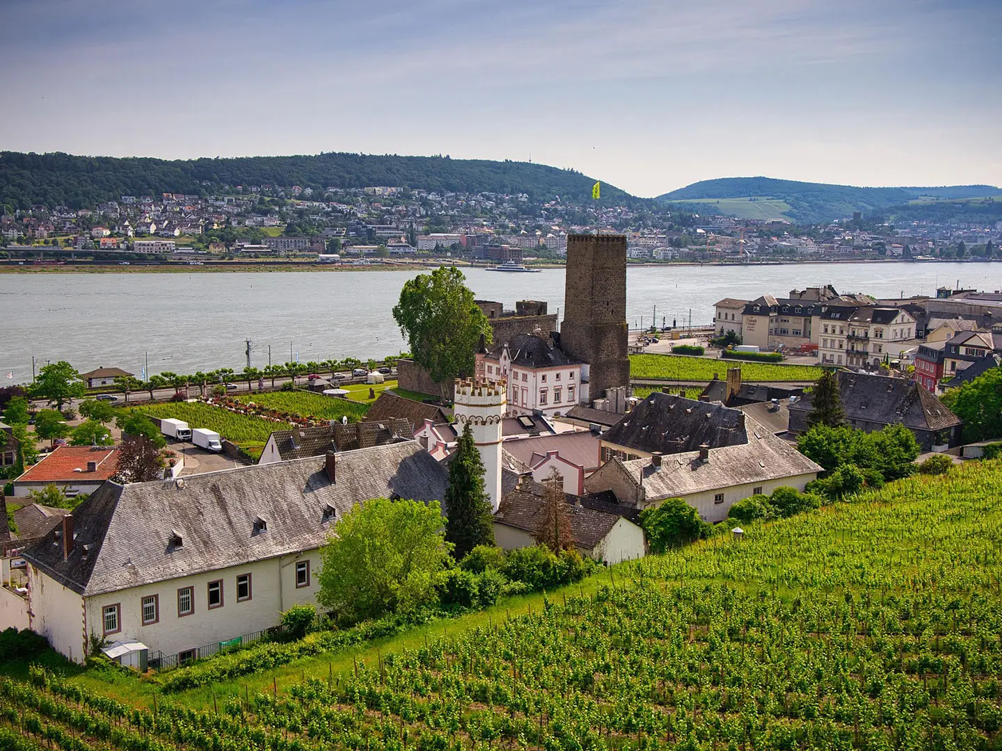
Most walkers go east-to-west, starting in Wicker and following the slopes above the Rhine towards Kaub. The route threads via Hochheim am Main, Wiesbaden-Schierstein, Rauenthal, Kiedrich, Kloster Eberbach, Schloss Vollrads, Oestrich-Winkel, Johannisberg, Geisenheim, Rüdesheim am Rhein, the Niederwald Monument, Assmannshausen, Lorch and Lorchhausen before finishing near the Blücher Museum in Kaub. It is officially divided into four stages, but precise stage distances are not listed here; plan around village accommodation and the steeper Rüdesheim-Lorch section above the Binger Loch. As a point-to-point route, arrange return travel separately. Related trail guides include Eifelsteig, Goldsteig and Altmühltal Panorama Trail.
Wine, Monasteries and the Rheingauer Römer
The Rheingau has been celebrated wine country since the Middle Ages, shaped in part by the Cistercian monks of Kloster Eberbach, founded in 1136. The slopes are closely tied to Riesling, and Schloss Johannisberg is credited with the discovery of Spätlese late-harvest wine in 1775. The Rheingauer Rieslingpfad was created in 1976 and is marked with the Rheingauer Römer, a stylised wine goblet symbol. The trail links historic estates, wine villages and the Rhine, ending at Kaub near the medieval toll castle of Pfalzgrafenstein.
Notable highlights
- Kloster Eberbach: A former Cistercian monastery founded in 1136 and one of Hesse’s important art monuments. Its medieval cellars were used as a filming location for The Name of the Rose.
- Schloss Johannisberg: A hilltop wine estate widely linked with the origin of Spätlese Riesling after the late grape-picking permission of 1775. Its terrace gives wide views over the Rhine.
- Schloss Vollrads: One of the oldest wine estates in the world, with a documented history of roughly 800 years. The moated tower house and surrounding vines make it a distinctive stop on the route.
- Niederwald Monument: A major national monument above Rüdesheim, crowned by the Germania statue and reached by cable car from the town. It is one of the landmark viewpoints on this section of the Rhine.
- Rüdesheim am Rhein: A well-known wine town at the edge of the Rhine Gorge, with the narrow Drosselgasse and riverside wine taverns. It is also a practical overnight or resupply stop.
- Kaub and Burg Pfalzgrafenstein: The route ends in Kaub, opposite the toll castle of Pfalzgrafenstein on an island in the Rhine. The town’s Blücher Museum recalls the Prussian river crossing of New Year’s Eve 1813-14.
Challenges to expect
This is not a high-mountain route, but the length is the main challenge: about 90 km over 4 days, with 1,620 m of cumulative ascent and repeated climbs onto the slopes. The Rüdesheim-Lorch section above the Binger Loch is the steepest. Summer vineyard slopes can be hot and exposed; after rain, expect mixed dirt, gravel and paved surfaces. Navigation is helped by the Rheingauer Römer waymarking, and resupply is rarely far.
HikeList Score
Rheingau Riesling Path scored 84/100 on HikeList's trail-quality metrics.
See score breakdownHide breakdown
- Ideal length 78
- Balanced challenge 100
- Scenery & wildness 98
- Varied terrain 59
- Accommodation 74
- Food & support 81
- Path quality 80
- Season flexibility 89
Computed from length, challenge, scenery & wildness, terrain variety, accommodation, food & support, path quality and season flexibility.
 Germany
Show more data Show less
- Forest
- Dirt
- Gravel
- Paved
- Hotels
- Hostels
- Family Friendly
- Pet Friendly
- Restrooms
- Water Sources
- Picnic Areas
In these collections
Photos from hikers
Taken on the trail by people who've reviewed Rheingau Riesling Path.
Reviews
How would you rate Rheingau Riesling Path?
Tap a star to start your review — you could be the first.