Tour du Canigou
How would you rate Tour du Canigou?
Tap a star to share your experience and help other hikers.
Tour du Canigou: A Complete Hiking Guide
HikeList Score
Tour du Canigou scored 80/100 on HikeList's trail-quality metrics.
See score breakdownHide breakdown
- Ideal length 85
- Balanced challenge 80
- Scenery & wildness 98
- Varied terrain 64
- Accommodation 67
- Food & support 65
- Path quality 98
- Season flexibility 76
Computed from length, challenge, scenery & wildness, terrain variety, accommodation, food & support, path quality and season flexibility.
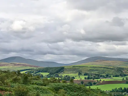
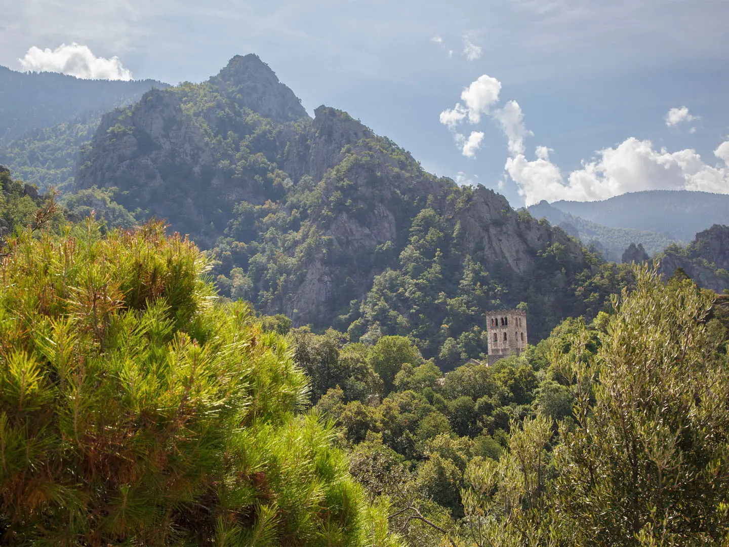
The Tour du Canigou is an 84 km, 5-day waymarked loop around the Canigou Massif in the Pyrénées-Orientales, eastern French Pyrenees. It is a hard refuge-to-refuge trek through French Catalonia, linking the Conflent and Vallespir valleys on the GR®P Tour du Canigó, a GR de Pays variant associated with the GR10. Expect forest, maquis, high ridges, scree and an optional ascent of Pic du Canigou. For more routes in the country, see our France hiking guides.
Route Overview
This is a loop with no single fixed trailhead. Common start and finish points include Refuge de Batère near Corsavy, Prats-de-Mollo-la-Preste, and Vernet-les-Bains or Refuge de Mariailles; gateway villages include Vernet-les-Bains, Casteil and Villefranche-de-Conflent. The route links the main Canigou refuges: Batère, Sant Guillem, Les Conques, Mariailles and Cortalets. Many walkers add the Pic du Canigou summit, reached as a side ascent via the steep cheminée scramble. The trail is waymarked in yellow-and-red as the GR®P Tour du Canigó. For another major Pyrenean objective in France, compare the Cirque de Gavarnie Trails.
Canigou: Catalonia’s sacred mountain
Canigou is the symbolic sacred mountain of Northern Catalonia. Its traditional first ascent is attributed to King Peter III of Aragon in 1285, although it is doubted he reached the true summit. Each 23 June, the Flama del Canigó is lit on the summit and carried by torch relay to kindle Sant Joan midsummer bonfires across Catalonia. The massif’s spiritual history also shows in nearby monasteries, including Saint-Martin-du-Canigou and Saint-Michel-de-Cuxa. Canigou is now a classified Grand Site de France.
Notable highlights
- Pic du Canigou summit (2784 m): The optional high point of the round, marked by an iron cross and regarded as the sacred mountain of Catalonia. In clear weather, the view reaches across the Pyrenees towards the Mediterranean.
- The cheminée: A steep, rocky chimney-like passage on the summit approach above Mariailles and Cortalets. It is the most technical section, with short hands-on scrambling on loose rock.
- Refuge des Cortalets: A large Club Alpin Français refuge on the northern flank of the massif. It is road-accessible, busy in season and a classic base for Pic du Canigou attempts.
- Refuge de Mariailles: A key western-side staging post set amid beech and fir woods. It is a common launch point for the cheminée route to the summit.
- Abbey of Saint-Martin-du-Canigou: A Benedictine monastery built in 1005–1009 on a rocky spur above Casteil. It is one of the finest early Romanesque sites in the Pyrenees and remains a living religious site.
- Villefranche-de-Conflent: A fortified medieval gateway town below the massif, with ramparts later remodelled by Vauban. It forms part of the UNESCO-listed Fortifications of Vauban.
Challenges to expect
This is officially graded very difficult and needs strong fitness: expect about 900 m of ascent and descent per day, rocky mountain paths, loose stone and exposed high terrain. The optional Pic du Canigou ascent adds the cheminée scramble, where sure-footedness matters. Snow can linger outside the June–October season, and vehicle access to high tracks such as Cortalets is seasonally restricted. For a less alpine French option, see the Canal du Midi Towpath.
HikeList Score
Tour du Canigou scored 80/100 on HikeList's trail-quality metrics.
See score breakdownHide breakdown
- Ideal length 85
- Balanced challenge 80
- Scenery & wildness 98
- Varied terrain 64
- Accommodation 67
- Food & support 65
- Path quality 98
- Season flexibility 76
Computed from length, challenge, scenery & wildness, terrain variety, accommodation, food & support, path quality and season flexibility.
 France
Show more data Show less
- Mountainous
- Forest
- Dirt
- Rocky
- Huts
- Campsites
- Wild Camping Spots
- Pet Friendly
- Water Sources
- Campsites
- Shelters
In these collections
Photos from hikers
Taken on the trail by people who've reviewed Tour du Canigou.
Reviews
How would you rate Tour du Canigou?
Tap a star to start your review — you could be the first.