Ruta de los Pantanos (Reservoirs Trail)
How would you rate Ruta de los Pantanos (Reservoirs Trail)?
Tap a star to share your experience and help other hikers.
Ruta de los Pantanos: Palencia Reservoirs by Road and Short Walks
HikeList Score
Ruta de los Pantanos (Reservoirs Trail) scored 75/100 on HikeList's trail-quality metrics.
See score breakdownHide breakdown
- Ideal length 62
- Balanced challenge 100
- Scenery & wildness 85
- Varied terrain 69
- Accommodation 66
- Food & support 81
- Path quality 37
- Season flexibility 89
Computed from length, challenge, scenery & wildness, terrain variety, accommodation, food & support, path quality and season flexibility.
The Ruta de los Pantanos is a 54–55 km paved reservoirs route in northern Palencia, Castilla y León, Spain, between Velilla del Río Carrión and Cervera de Pisuerga. It is not a waymarked 2-day hiking trail: it follows the CL-626 / P-210 regional road through the Montaña Palentina, so it suits drivers, cyclists and walkers picking short sections, lakeshore paths and side-walks. Expect easy-to-moderate road gradients, mountain weather, and big views to Curavacas and Espigüete.
Route Overview
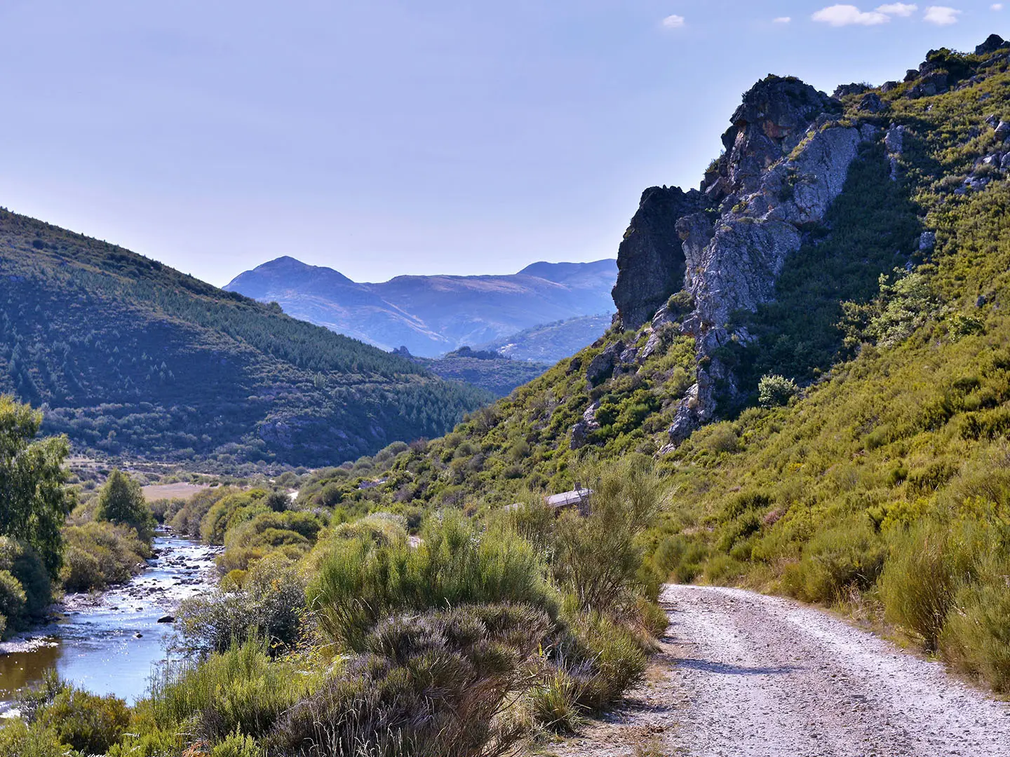
The core route runs point-to-point from Velilla del Río Carrión to Cervera de Pisuerga, with some descriptions extending onwards towards Aguilar de Campoo. The road threads the Carrión and Pisuerga valleys via places such as Otero de Guardo, Alba de los Cardaños / Cardaño de Abajo, and the reservoirs of Compuerto, Camporredondo, Ruesga and Requejada. It is best planned as a scenic drive or cycle ride, with walking focused on selected sections and side-trails such as the Cascada de Mazobre path. For a real Spanish multi-day walk, compare the Camino del Norte or the high-mountain Carros de Foc.
Reservoirs in the Upper Carrión Valley
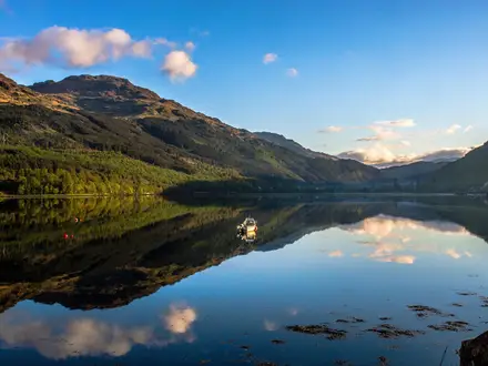
The route’s identity comes from the chain of reservoirs built into the upper Carrión and Pisuerga valleys. Compuerto dam took ten years to build and was completed in 1960, with a capacity of about 95 hm³. Together with Camporredondo, it sits beneath the limestone peaks of the Montaña Palentina and forms one of the defining landscapes of the Fuentes Carrionas y Fuente Cobre area.
Notable highlights
- Compuerto and Camporredondo reservoirs: The main Carrión-side reservoirs, set below the limestone walls of Curavacas and Espigüete. Compuerto’s dam was completed in 1960 after a decade of construction.
- Curavacas and Espigüete peaks: These two major Montaña Palentina summits, 2,525 m and 2,450 m, dominate the skyline. They are not part of the road route, but provide its mountain backdrop.
- Fuentes Carrionas y Fuente Cobre - Montaña Palentina Natural Park: A protected mountain area covering glacial lakes, beech and oak woods, and the headwaters of the Carrión and Pisuerga rivers. It is also important habitat for brown bear and wolf.
- Cascada de Mazobre: The tallest natural waterfall in Palencia province, reached by a short popular footpath from near Cardaño de Abajo. It is one of the best walking add-ons to the reservoirs route.
- Cervera de Pisuerga: A mountain town and practical base at the eastern end of the core route. The surrounding villages are known for Romanesque heritage.
Challenges to expect
The main challenge is expectation: this is not a continuous waymarked hiking trail, but a paved regional road. Walkers should choose short sections and side-paths rather than plan a backpacking traverse. There is no reliable total-ascent figure for a walking line. Winter brings snow and cold in the Montaña Palentina, while the surrounding peaks are separate, harder mountain ascents.
HikeList Score
Ruta de los Pantanos (Reservoirs Trail) scored 75/100 on HikeList's trail-quality metrics.
See score breakdownHide breakdown
- Ideal length 62
- Balanced challenge 100
- Scenery & wildness 85
- Varied terrain 69
- Accommodation 66
- Food & support 81
- Path quality 37
- Season flexibility 89
Computed from length, challenge, scenery & wildness, terrain variety, accommodation, food & support, path quality and season flexibility.
 Spain
SpainShow more data Show less
- Mountainous
- Valley
- Reservoir
- Paved
- Hotels
- Casas Rurales
- Family Friendly
- Pet Friendly
- Water Sources
- Campsites
- Picnic Areas
Photos from hikers
Taken on the trail by people who've reviewed Ruta de los Pantanos (Reservoirs Trail).
Reviews
How would you rate Ruta de los Pantanos (Reservoirs Trail)?
Tap a star to start your review — you could be the first.