Südalpenweg (Southern Alpine Way, Trail 03)
How would you rate Südalpenweg (Southern Alpine Way, Trail 03)?
Tap a star to share your experience and help other hikers.
Südalpenweg Trail 03: Austria’s Southern Border Traverse
HikeList Score
Südalpenweg (Southern Alpine Way, Trail 03) scored 83/100 on HikeList's trail-quality metrics.
See score breakdownHide breakdown
- Ideal length 66
- Balanced challenge 80
- Scenery & wildness 98
- Varied terrain 71
- Accommodation 83
- Food & support 88
- Path quality 98
- Season flexibility 76
Computed from length, challenge, scenery & wildness, terrain variety, accommodation, food & support, path quality and season flexibility.
The Südalpenweg, Österreichischer Weitwanderweg 03, is a hard 500 km point-to-point hike across southern Austria. It runs from Bad Radkersburg in south-east Styria to Sillian in East Tyrol, usually walked in 25 stages. The route starts with easier vineyard and forest walking, then becomes a serious alpine traverse through the Karawanken and Carnic Alps. It suits experienced multi-day hikers with sure-footedness, a head for heights and the kit for summer high-mountain conditions.
Route Overview
The main route is walked east to west, starting at Bad Radkersburg and finishing at Sillian, with a short variant ending at nearby Arnbach. Waymarks are Austria’s red-white-red blazes with the number 03. Early stages follow the Mur River vineyards via Mureck, Ehrenhausen and Leutschach before crossing the Soboth and Poßruck hills to Lavamünd. From Bad Eisenkappel the trail enters the Karawanken, then continues by Thörl-Maglern, Arnoldstein, Nassfeld and Plöckenpass onto the Carnic main ridge. The final section follows the Carnic High Trail past Wolayersee, Hochweißsteinhaus, Porzehütte, Obstansersee-Hütte and Sillianer Hütte. For other Austrian long-distance planning pages, compare the Alpe-Adria Trail and the Eagle Walk.
History of the Südalpenweg
The Südalpenweg was created by the Austrian Alpine Club (ÖAV) as the third of Austria’s numbered long-distance Weitwanderwege and officially opened on 19–20 September 1981. It was conceived as a southern counterpart to Austria’s other border-following high routes, linking the country’s southernmost mountain ranges. Its final western section incorporates the older Carnic High Trail and also coincides with the European Long-Distance Path E10.
Notable highlights
- Carnic High Trail (Karnischer Höhenweg): The entire final section of the Südalpenweg follows this famous Austria–Italy border ridge. Expect high alpine paths, former military routes and First World War front-line relics, with views towards the Dolomites.
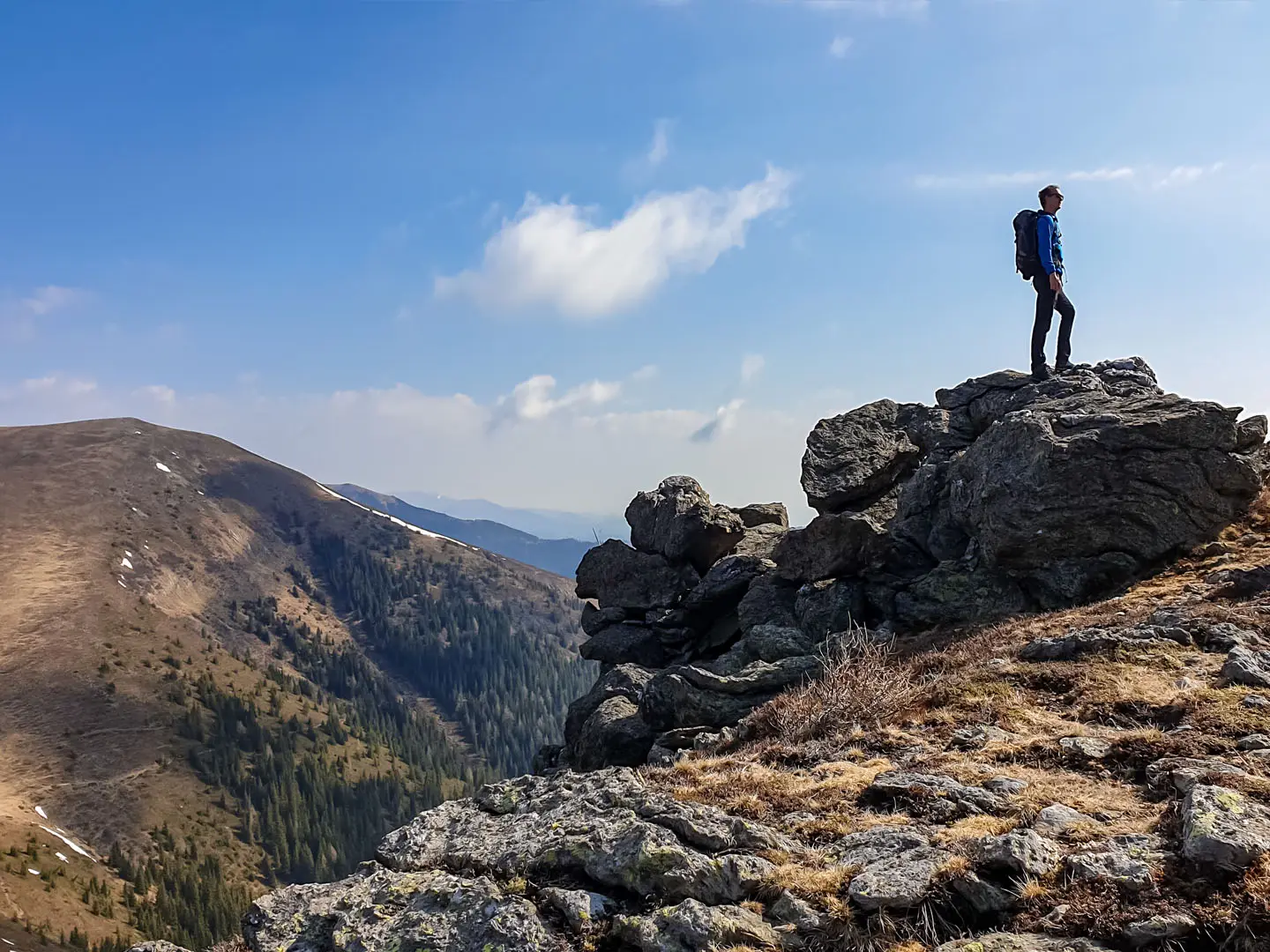
- Pfannspitze (2,678 m): Named as the route’s highest point, this Carnic Alps summit comes in the rugged closing stages near Sillian. It marks the trail’s most exposed, high-mountain character.
- Karawanken range: This limestone border range between Austria and Slovenia brings the first serious alpine days after Bad Eisenkappel. The route crosses areas around Hochobir, Koschuta and Feistritzer Spitze.
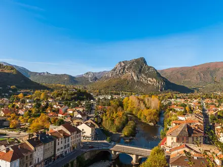
- South Styrian wine country: The opening stages along the Mur River and the vineyards around Ehrenhausen and Leutschach are gentler than the mountains ahead. They give the route a distinctive lowland-to-alpine progression.
- Wolayersee and the Carnic huts: Wolayersee is an alpine lake beneath steep Carnic walls. Nearby staffed huts, including Hochweißsteinhaus, Porzehütte and Obstansersee-Hütte, are key shelter points on the ridge.
- Nassfeld and Plöckenpass: These historic border passes on the Carinthia–Italy frontier mark the transition onto the high Carnic main ridge.
Challenges to expect
Do not judge the whole trail by the easier Styrian opening. The Karawanken and Carnic Alps involve long ascents, exposed rocky paths, secured sections and navigation in alpine terrain. Snow can linger above the treeline into early summer and return in autumn, while huts are staffed only in summer and should be booked ahead. Full alpine kit, sure-footedness and weather flexibility are essential.
HikeList Score
Südalpenweg (Southern Alpine Way, Trail 03) scored 83/100 on HikeList's trail-quality metrics.
See score breakdownHide breakdown
- Ideal length 66
- Balanced challenge 80
- Scenery & wildness 98
- Varied terrain 71
- Accommodation 83
- Food & support 88
- Path quality 98
- Season flexibility 76
Computed from length, challenge, scenery & wildness, terrain variety, accommodation, food & support, path quality and season flexibility.
 Austria
Show more data Show less
- Mountainous
- Forest
- Dirt
- Rocky
- Gravel
- Hotels
- Huts
- Hostels
- Family Friendly
- Pet Friendly
- Restrooms
- Water Sources
- Campsites
- Shelters
Photos from hikers
Taken on the trail by people who've reviewed Südalpenweg (Southern Alpine Way, Trail 03).
Reviews
How would you rate Südalpenweg (Southern Alpine Way, Trail 03)?
Tap a star to start your review — you could be the first.