Cistercian Way
How would you rate Cistercian Way?
Tap a star to share your experience and help other hikers.
Cistercian Way: A Complete Hiking Guide
HikeList Score
Cistercian Way scored 81/100 on HikeList's trail-quality metrics.
See score breakdownHide breakdown
- Ideal length 52
- Balanced challenge 100
- Scenery & wildness 69
- Varied terrain 100
- Accommodation 83
- Food & support 94
- Path quality 92
- Season flexibility 89
Computed from length, challenge, scenery & wildness, terrain variety, accommodation, food & support, path quality and season flexibility.
The Cistercian Way is a 969 km circular pilgrimage route around Wales, linking all 16 medieval Cistercian houses plus the modern successor communities at Caldey and Whitland. Most walkers take 40-60 days. It is moderate rather than technically hard, but the length, self-arranged logistics and exposed upland sections make it a committing long-distance walk. It suits hikers who want a historic Welsh thru-hike mixing abbey ruins, mining valleys, coast, farmland, woodland, river valleys and the Cambrian Mountains.
Route Overview
The loop starts and finishes at Llantarnam Abbey, near Cwmbran/Newport, and is usually walked clockwise, though it can be joined anywhere. The route links Penrhys and the Rhondda, Neath Abbey, Margam Abbey, the Pembrokeshire coast, Whitland, Caldey, Strata Florida, Cymer Abbey near Dolgellau, Pumlumon in the Cambrian Mountains, Abbeycwmhir, Valle Crucis near Llangollen, Strata Marcella, St Asaph, Basingwerk Abbey, Conwy and Tintern Abbey in the Wye Valley. It is waymarked, has GPX files available, and is covered by 26 Ordnance Survey Explorer maps. Sections can be walked independently with returns by public transport. For shorter Welsh options, compare the Beacons Way, Anglesey Coastal Path or Aber Falls Walk.
History of the Cistercian Way
The Cistercian Way was first walked in May 1998 by the Society of St David and St Nicholas on its annual pilgrimage to Penrhys, marking the 900th anniversary of the founding of the Cistercian order in 1098. A team from the University of Wales, Newport then developed it into an official long-distance footpath. A small charity was later set up to clear, waymark and improve the route, which now links Wales’s medieval Cistercian abbeys with other religious, archaeological and historic sites.
Notable highlights
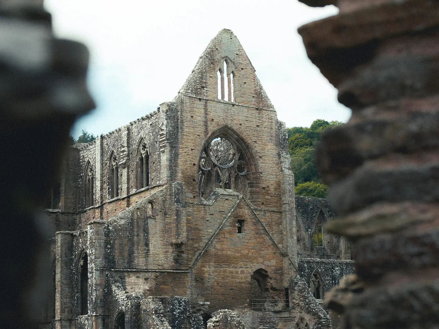
- Tintern Abbey: The first Cistercian abbey in Wales, founded on 9 May 1131 beside the River Wye in Monmouthshire. Its riverside ruins are a major stop near the end of the circuit.
- Strata Florida: A Ceredigion abbey founded in 1164 near Tregaron. It is associated with Welsh princes of Deheubarth, the poet Dafydd ap Gwilym and the chronicle Brut y Tywysogion.
- Valle Crucis Abbey: Begun in 1201 near Llangollen in the “vale of the cross”. It is one of the best-preserved Cistercian churches in Wales and a key northern landmark on the route.
- Penrhys and Our Lady of Penrhys: A hilltop shrine above the Rhondda and the most famous pilgrimage site in medieval Wales. The route follows the old 21-mile pilgrim way from Llantarnam, passing Ffynnon Fair, St Mary’s Well.
- Pumlumon and the Cambrian Mountains: One of the “Five Holy Mountains” of Wales and the source area of five rivers, including the Severn and Wye. This is the wilder high mid-Wales section of the walk.
- Neath Abbey: Substantial abbey ruins in the industrial south, once described as the largest abbey in Wales. It gives the route a strong contrast between medieval monastic history and former mining landscapes.
Challenges to expect
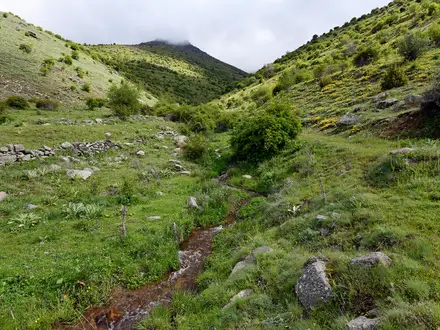
The main challenge is commitment: 969 km, 40-60 days and self-arranged accommodation rather than a hut system. Terrain changes constantly, with field paths, upland tracks, quiet lanes, woodland, coast and remote Cambrian Mountains sections. Waymarking and GPX files help, but you still need solid map skills across 26 OS Explorer sheets. Weather can make the upland and coastal stages tougher, especially outside late spring to early autumn.
HikeList Score
Cistercian Way scored 81/100 on HikeList's trail-quality metrics.
See score breakdownHide breakdown
- Ideal length 52
- Balanced challenge 100
- Scenery & wildness 69
- Varied terrain 100
- Accommodation 83
- Food & support 94
- Path quality 92
- Season flexibility 89
Computed from length, challenge, scenery & wildness, terrain variety, accommodation, food & support, path quality and season flexibility.
 United Kingdom
 Wales
WalesShow more data Show less
- Coastal
- Upland
- Farmland
- Woodland
- River Valleys
- Mining Valleys
- Mountain Ranges
- Field Paths
- Upland Tracks
- Quiet Lanes
- Minor Roads
- Woodland Paths
- Coastal Paths
- Hotels
- Hostels
- Campsites
- Family Friendly
- Dog Friendly On Leash
- Restrooms
- Non Potable Water Sources
- Established Campsites
- Shelters
- Picnic Areas
- Public Transport Access Points
In these collections
Photos from hikers
Taken on the trail by people who've reviewed Cistercian Way.
Reviews
How would you rate Cistercian Way?
Tap a star to start your review — you could be the first.