Monarch's Way
How would you rate Monarch's Way?
Tap a star to share your experience and help other hikers.
Monarch's Way: England’s Longest Inland Trail
HikeList Score
Monarch's Way scored 80/100 on HikeList's trail-quality metrics.
See score breakdownHide breakdown
- Ideal length 52
- Balanced challenge 100
- Scenery & wildness 58
- Varied terrain 100
- Accommodation 84
- Food & support 94
- Path quality 98
- Season flexibility 89
Computed from length, challenge, scenery & wildness, terrain variety, accommodation, food & support, path quality and season flexibility.
The Monarch’s Way is a roughly 990 km / 615 mile point-to-point walk across England, following King Charles II’s escape route after the Battle of Worcester in 1651. Expect about 40 days of walking, usually spread over six weeks or split into sections. The terrain is moderate rather than mountainous: field paths, lanes, towpaths, Cotswold and Mendip hills, and South Downs chalk. It suits fit walkers who want a long, historic lowland thru-hike with steady navigation demands.
Route Overview
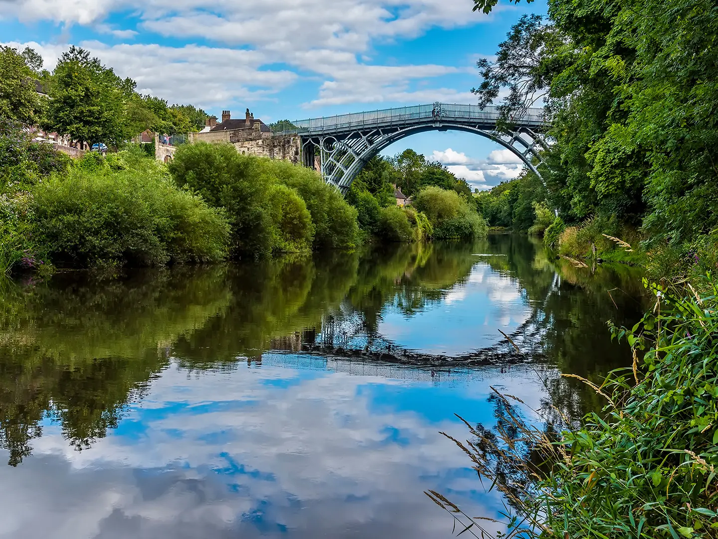
The route starts at Worcester, around Powick Bridge and the city centre, then heads north first to White Ladies Priory and Boscobel House before turning south-east via Moseley, Bromsgrove, Wootton Wawen and Stratford-upon-Avon. It crosses the Cotswolds through Chipping Campden, Stow-on-the-Wold, Bourton-on-the-Water, Northleach and Cirencester, then continues via Tetbury, Bristol, the Mendip Hills and Wells. From there it reaches the Dorset coast at Charmouth and Bridport, turns inland through Yeovil, Wincanton, Mere and the Wiltshire downs near Salisbury, then crosses Hampshire and the South Downs via Arundel, Bramber and Steyning to finish at Shoreham-by-Sea.
The Escape of Charles II
The Monarch’s Way commemorates the six-week flight of the future King Charles II after his Royalist army was defeated by Cromwell’s forces at the Battle of Worcester on 3 September 1651. Charles fled north into Shropshire, hid at White Ladies Priory and in the Royal Oak at Boscobel, then travelled south disguised as “William Jackson”. After failed attempts to find a ship at Charmouth and Bridport, he reached Shoreham and sailed aboard the coal-brig Surprise on 15 October 1651.
Notable highlights
- Boscobel House and the Royal Oak: The route’s best-known episode happened here, where Charles II hid in an oak tree while Parliamentarian troops searched nearby. The Royal Oak also forms part of the trail emblem.
- White Ladies Priory: A ruined medieval Augustinian nunnery in Shropshire where the fleeing king first sheltered and was disguised as a labourer by the Penderel brothers.
- Stratford-upon-Avon: Shakespeare’s birthplace on the River Avon, and a practical resupply and rest point where the trail’s first two guidebook sections meet.
- The Cotswolds: The path crosses honey-stone towns and villages including Chipping Campden, Stow-on-the-Wold, Bourton-on-the-Water and Cirencester.
- Wells and the Mendip Hills: After open hill country on the Mendips, the route reaches Wells, England’s smallest city, known for its medieval cathedral.
- Charmouth, Arundel and the South Downs: The trail touches the Jurassic Coast at Charmouth before turning inland and later crossing South Downs chalk past Arundel and Bramber to Shoreham-by-Sea.
Challenges to expect
The Monarch’s Way is moderate in terrain but demanding in scale: roughly 990 km, long stages, and many days of lowland walking. Navigation needs care because waymarking can be sparse or worn, so carry OS maps, GPS and the Trevor Antill guidebooks. Mud is common on field paths and towpaths after rain. For shorter preparation walks, compare the Amber Valley Route, Ashby Canal Trail or hillier Beacons Way.
HikeList Score
Monarch's Way scored 80/100 on HikeList's trail-quality metrics.
See score breakdownHide breakdown
- Ideal length 52
- Balanced challenge 100
- Scenery & wildness 58
- Varied terrain 100
- Accommodation 84
- Food & support 94
- Path quality 98
- Season flexibility 89
Computed from length, challenge, scenery & wildness, terrain variety, accommodation, food & support, path quality and season flexibility.
Show more data Show less
- Lowland Farmland And Field Paths
- River Valleys
- Canal Towpaths
- Rolling Cotswold And Mendip Hill Country
- Chalk Downland
- Short Urban And Suburban Sections
- Dirt
- Grass
- Gravel
- Some Paved Lanes And Towpaths
- B&Bs
- Inns/Pubs
- Small Hotels
- Occasional Campsites
- Family Friendly
- Dog Friendly On Leash
- Restrooms
- Non Potable Water Sources
- Established Campsites
- Shelters
- Picnic Areas
- Public Transport Access Points
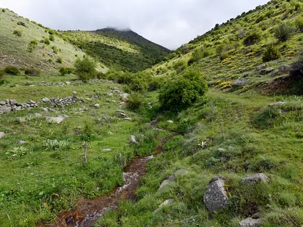
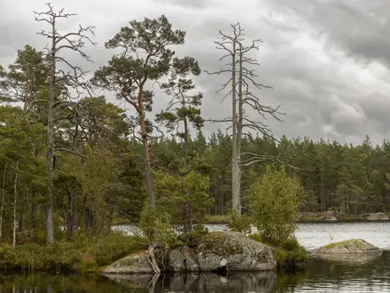
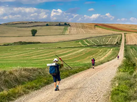
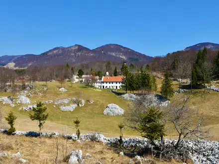
Photos from hikers
Taken on the trail by people who've reviewed Monarch's Way.
Reviews
How would you rate Monarch's Way?
Tap a star to start your review — you could be the first.