Soča Trail (Soška Pot)
How would you rate Soča Trail (Soška Pot)?
Tap a star to share your experience and help other hikers.
Soča Trail (Soška Pot): A One-Day Hike Along the Emerald Soča
HikeList Score
Soča Trail (Soška Pot) scored 83/100 on HikeList's trail-quality metrics.
See score breakdownHide breakdown
- Ideal length 55
- Balanced challenge 100
- Scenery & wildness 85
- Varied terrain 83
- Accommodation 92
- Food & support 88
- Path quality 80
- Season flexibility 89
Computed from length, challenge, scenery & wildness, terrain variety, accommodation, food & support, path quality and season flexibility.
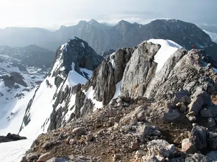
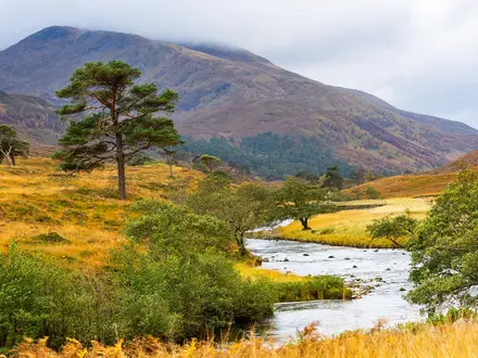
The Soča Trail (Soška Pot) is a 25 km point-to-point riverside hike in the Julian Alps of north-west Slovenia. It follows the emerald Soča, or Isonzo, downstream from its karst source above Trenta to Bovec, entirely inside Triglav National Park. Allow 7.5–8.5 hours for the full route. It is technically easy and well waymarked, but the distance makes it a moderate day. It suits fit walkers who want gorges, forest paths, suspension bridges and straightforward valley logistics.
Route Overview
Walk the Soča Trail downstream from Izvir Soče, the source of the river at about 990 m above Trenta, to Bovec at about 440–460 m. The route has modest ascent, a net descent, and passes Trenta, Dom Trenta, the Julijana Alpine Botanical Garden, Mlinarica gorge, Soča village, Lepena, Kal-Koritnica and Vodenca. It largely coincides with Stage 24 of the Alpe-Adria-Trail between Trenta and Bovec, and is signed as Soška pot with AAT and Knafelc waymarks. The seasonal Bovec–Kranjska Gora bus lets you shorten the walk or return along the valley. For a higher approach into the same valley, see the Kranjska Gora to Trenta Trail; for a bigger Julian Alps objective, compare the Bohinj to Triglav Trail.
Isonzo Front history in the Soča Valley
The Soča, known in Italian as the Isonzo, gives this walk a serious historical layer. During the First World War the valley formed part of the Isonzo Front, where Italian and Austro-Hungarian armies fought twelve battles between 1915 and 1917. Soča village has a military cemetery by St Jožef's church, and the wider valley is linked by the Walk of Peace (Pot miru), which connects monuments and cemeteries from the Alps towards the Adriatic.
Notable highlights
- Source of the Soča (Izvir Soče, about 990 m): The walk begins where the river emerges from a karst spring below Travnik. A short, steep cable-secured path reaches the pool, so take care if you visit it before starting the main descent.
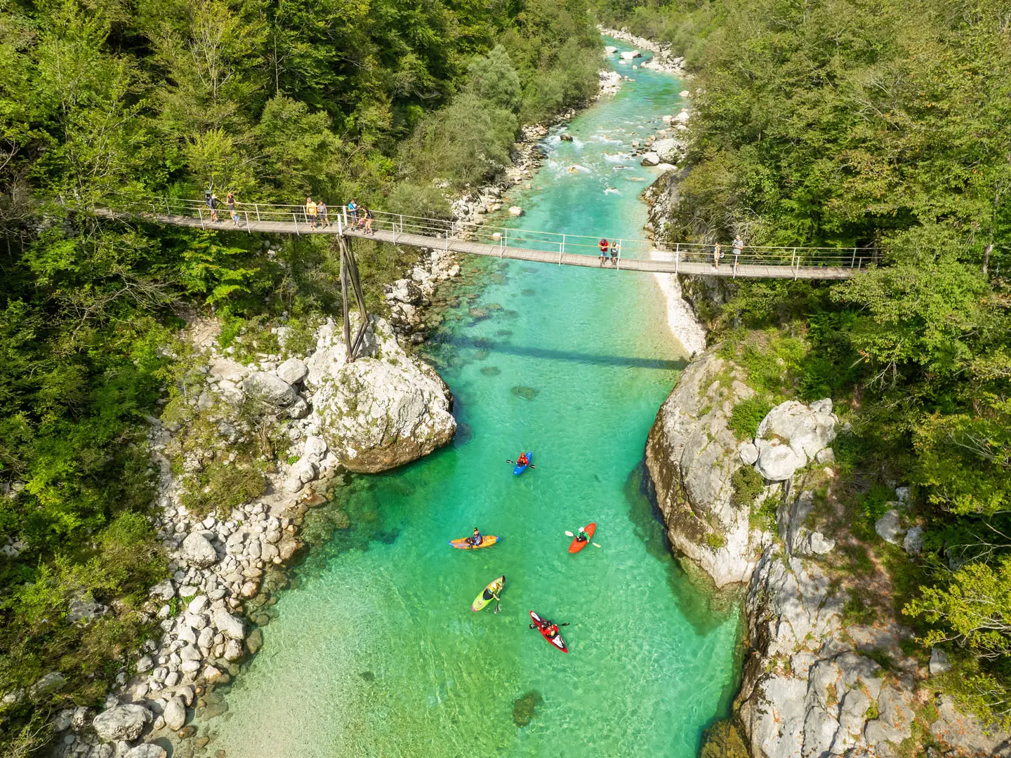
- Velika korita, the Great Soča Gorge: The signature gorge is a limestone canyon about 750 m long, in places only around 2 m wide, with walls up to 15 m high. Footbridges give the best views into the turquoise channel.
- Mala korita and the Mlinarica gorge: These smaller gorges in the upper valley add variety. Mala korita is about 100 m long and up to 6 m deep, while Mlinarica is a narrow slot gorge with an 8 m waterfall.
- Swing footbridges over the Soča: The trail crosses the river several times on suspension or swing bridges. They are one of the most memorable parts of the walk, especially where the path looks straight down into blue-green pools.
- Trenta and Dom Trenta: Trenta is the main upper-valley village and home to the Triglav National Park information centre. Nearby, the Julijana Alpine Botanical Garden focuses on plants of the surrounding Julian Alps.
- Soča village and the Isonzo Front: The First World War cemetery beside St Jožef's church is a quiet reminder that this scenic valley was once a major front line.
Challenges to expect
The main challenge is length, not technical difficulty: 25 km is a long day even with a net descent. Expect dirt and gravel riverside paths, forest and meadow tracks, some rocky sections, short road stretches and several bridge crossings. The source path is short but steep and cable-secured. Go in the snow-free season, carry enough food and water, and use the seasonal valley bus if you want a shorter section. If you prefer easier valley walking elsewhere, consider the Kamniška Bistrica Valley Trail or Logar Valley Panoramic Trail.
HikeList Score
Soča Trail (Soška Pot) scored 83/100 on HikeList's trail-quality metrics.
See score breakdownHide breakdown
- Ideal length 55
- Balanced challenge 100
- Scenery & wildness 85
- Varied terrain 83
- Accommodation 92
- Food & support 88
- Path quality 80
- Season flexibility 89
Computed from length, challenge, scenery & wildness, terrain variety, accommodation, food & support, path quality and season flexibility.
 Slovenia
Show more data Show less
- Mountains
- Forest
- River Valley
- Dirt
- Gravel
- Paved
- Hotels
- Hostels
- Campsites
- Mountain Huts
- Family Friendly
- Pet Friendly
- Restrooms
- Water Sources
- Campsites
- Picnic Areas
Photos from hikers
Taken on the trail by people who've reviewed Soča Trail (Soška Pot).
Reviews
How would you rate Soča Trail (Soška Pot)?
Tap a star to start your review — you could be the first.