Visegrád to Dobogókő Trail
How would you rate Visegrád to Dobogókő Trail?
Tap a star to share your experience and help other hikers.
Visegrád to Dobogókő Trail: Danube Bend Blue Trail Hike
HikeList Score
Visegrád to Dobogókő Trail scored 83/100 on HikeList's trail-quality metrics.
See score breakdownHide breakdown
- Ideal length 55
- Balanced challenge 100
- Scenery & wildness 78
- Varied terrain 94
- Accommodation 83
- Food & support 88
- Path quality 98
- Season flexibility 89
Computed from length, challenge, scenery & wildness, terrain variety, accommodation, food & support, path quality and season flexibility.
The Visegrád to Dobogókő Trail is a point-to-point day hike in northern Hungary, crossing the Visegrád Hills of the Danube Bend inside Duna-Ipoly National Park. Follow the blue stripe of OKT-16, part of the European Long-Distance Trail E4: the canonical stage is about 24 km, takes roughly 7 hours and is moderate rather than technical. It suits fit walkers who want forest paths, volcanic ridges and Danube Bend views, with lodging at Visegrád and Dobogókő.
Route Overview
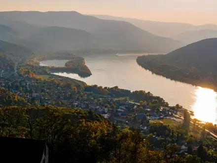
Walk Visegrád → Dobogókő for the uphill version: start by the Danube Bend town and ferry station beneath Visegrád Citadel, then climb through the forested Visegrád Hills to Nagy-Villám, Pap-rét, Pilisszentlászló, Sikárosi-rét and the 699 m lookout terrace at Dobogókő. OKT-16 is officially numbered the other way, Dobogókő–Visegrád, so waypoints may appear in reverse on National Blue Trail resources. This is a linear hike, not a loop; plan end-to-end transport. The brief confirms the Visegrád Danube ferry is paid, while Dobogókő has resort services and a paid ski lift. For wider Danube Bend hiking, compare the Börzsöny Mountains Trail.
Dobogókő, Visegrád and Hungarian hiking history
Dobogókő is closely tied to the birth of organised Hungarian tourism: the first small wooden tourist hostel was raised there in 1898, and the asphalt access road arrived in 1935. The summit area honours hiking pioneers Baron Loránd Eötvös and Ödön Téry. At the Danube end, Visegrád was a medieval royal seat of the Hungarian kings, overlooked by its 13th-century citadel. In modern times, Dobogókő has also become a pilgrimage place for Hungarian neopagans who regard it as the earth’s “heart chakra”.
Notable highlights
- Dobogókő lookout terrace (699 m): The highest point of the Visegrád Hills and the cradle of organised Hungarian tourism. The terrace looks across the Danube Bend towards the Börzsöny Mountains.
- Visegrád Citadel (Fellegvár): A 13th-century fortress above Visegrád, built after the Mongol invasion. It overlooks the Danube Bend and the former medieval royal seat below.
- Nagy-Villám lookout: A purpose-built lookout tower on the ridge above Visegrád. It is a major panorama point over the horseshoe-shaped Danube Bend.
- Pilisszentlászló: The only village on the wooded interior of the route. Its meadows and limited services make it the natural midway rest stop.
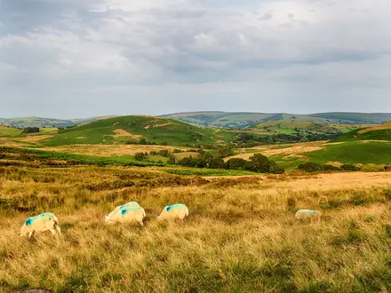
- Volcanic Visegrád Hills: The route crosses Miocene andesite hill country, with beech and oak forest, ridgelines, rocky sections and meadow clearings.
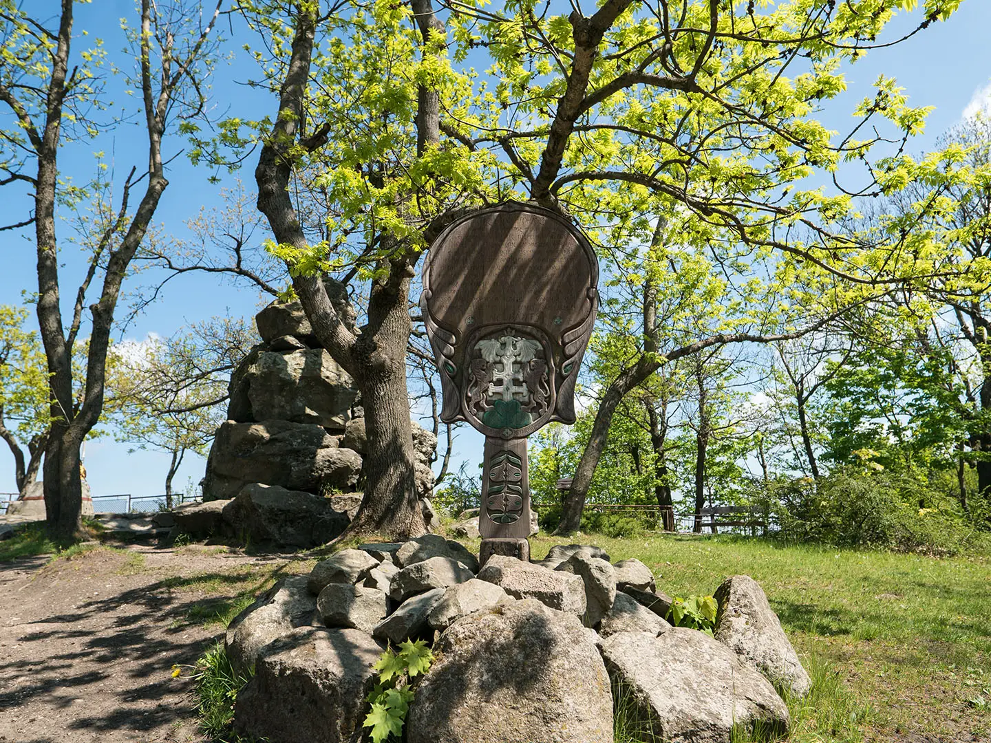
- Baron Eötvös Loránd Shelter and Téry Ödön memorial: Dobogókő’s monuments to early Hungarian hiking culture, including the shelter named for physicist Loránd Eötvös and the memorial to Ödön Téry.
Challenges to expect
The main challenge is the length and climb if walking Visegrád → Dobogókő: the route rises from the Danube at about 102 m to 699 m, with more accumulated ascent on the full blue-trail stage. Paths are well marked by the blue stripe and are not technical, but expect forest tracks, rocky sections and limited mid-route facilities. Summer can be busy; winter may bring snow around Dobogókő.
HikeList Score
Visegrád to Dobogókő Trail scored 83/100 on HikeList's trail-quality metrics.
See score breakdownHide breakdown
- Ideal length 55
- Balanced challenge 100
- Scenery & wildness 78
- Varied terrain 94
- Accommodation 83
- Food & support 88
- Path quality 98
- Season flexibility 89
Computed from length, challenge, scenery & wildness, terrain variety, accommodation, food & support, path quality and season flexibility.
 Hungary
Show more data Show less
- Forest
- Hill Country
- Ridgelines
- Meadows
- Dirt
- Gravel
- Rocky
- Hotels
- Guesthouses
- Campsites
- Family Friendly
- Pet Friendly
- Restrooms
- Water Sources
- Campsites
- Shelters
- Picnic Areas
Photos from hikers
Taken on the trail by people who've reviewed Visegrád to Dobogókő Trail.
Start in Visegrád by the Danube ferry area below the Fellegvár, then follow the blue stripe through Nagy-Villám, Pap-rét, Pilisszentlászló and Sikárosi-rét to the Dobogókő lookout terrace. Allow roughly 7 hours for the full stage. The official OKT-16 numbering runs in the opposite direction, from Dobogókő to Visegrád.
Reviews
How would you rate Visegrád to Dobogókő Trail?
Tap a star to start your review — you could be the first.